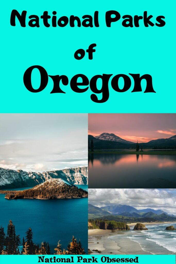
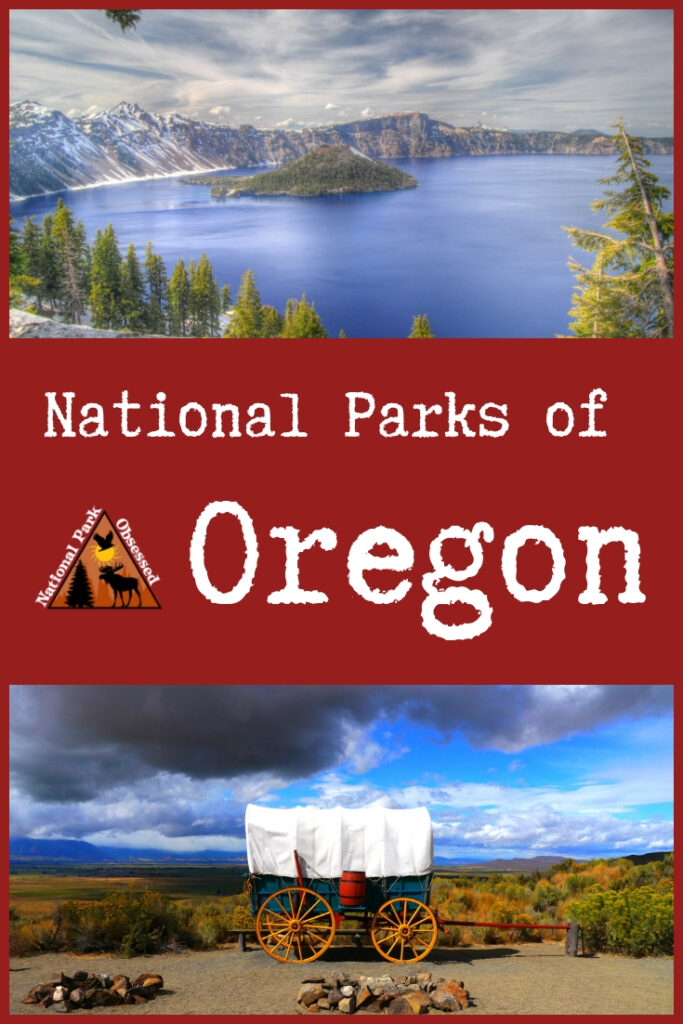

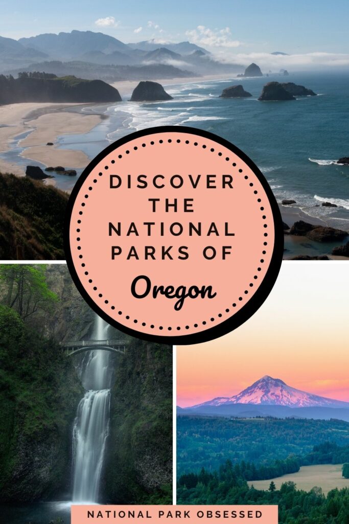

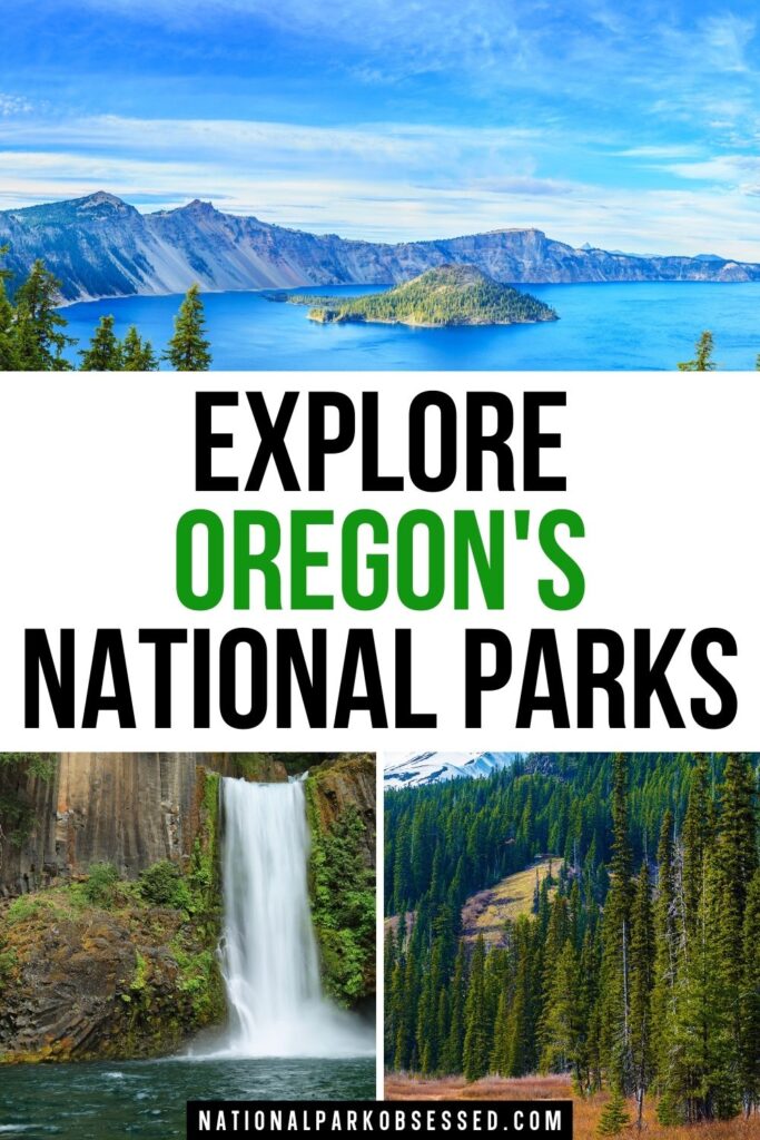
Post summary: National Parks in Oregon
Located in the heart of the of the Pacific Northwest is a geographically diverse state. Oregon has it all – volcanoes, evergreen forests, high desert and shrubland. This mix creates some of the most interesting landscapes to explore. Despite the variation of landscape, Oregon only has 6 national park units. These units are an interesting mix of history and natural features.
In this article, we will explore the 6 National Parks in Oregon. We will provide a brief overview of the park, things to do in the Oregon National Parks, and provide a map of the National Parks of Oregon.
Looking to add to your national park bucket list? Get the Ultimate National Park Checklist, complete with some of the most amazing things to do in all 63 USA National Parks!
This post may contain affiliate links, meaning if you book or buy something through one of these links, I may earn a small commission at no extra cost to you! Read the full disclosure policy here
Map of National Parks in Oregon
Planning to visit multiple national parks in the NEXT 12 months?
The America the Beautiful National Park Pass covers the entrance free for all 400+ national park sites, including all 63 national parks, for 12 months!
Oregon National Parks List
Oregon is part of the West Coast Region.
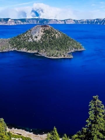
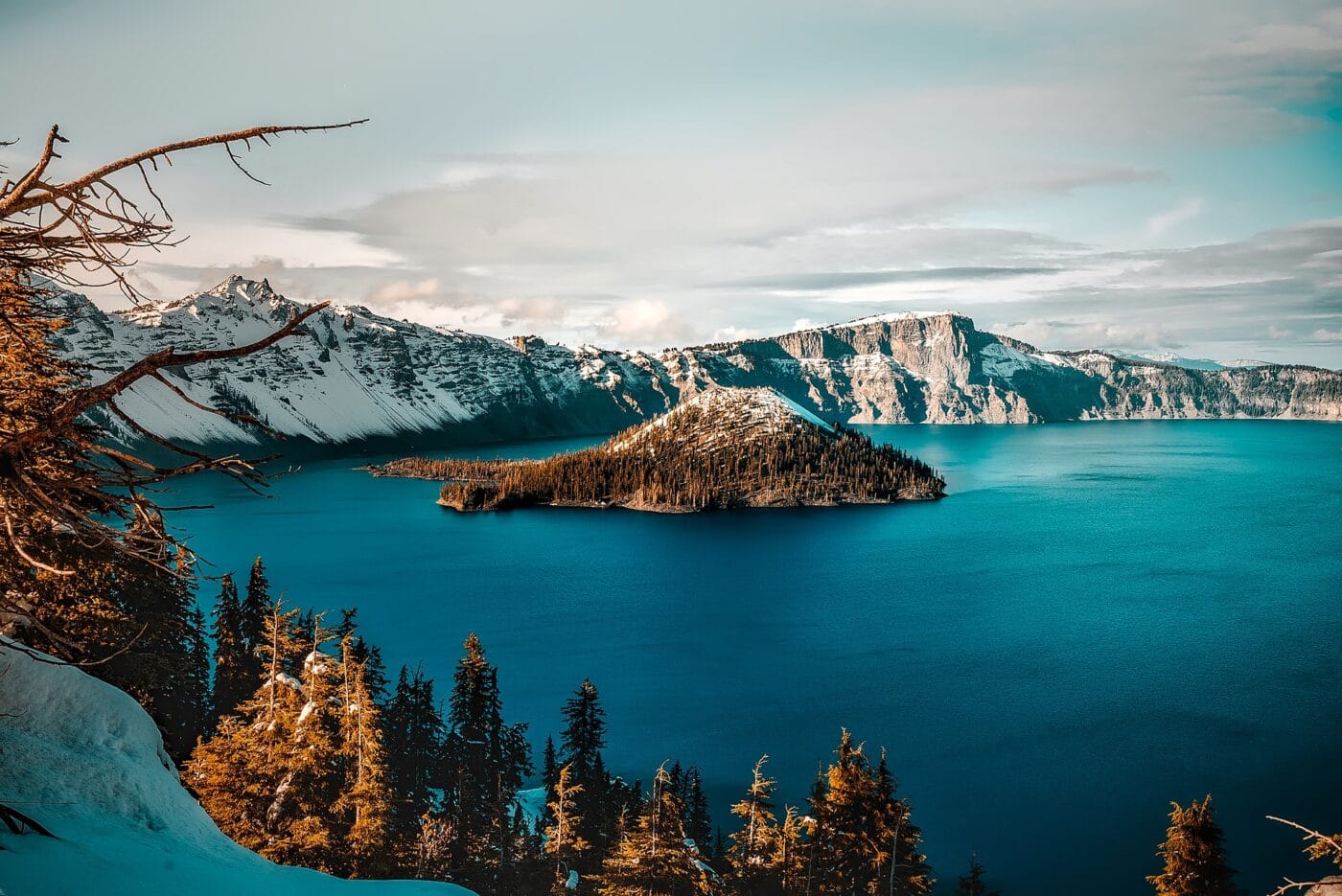
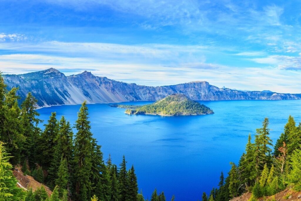
Crater Lake National Park
Crater Lake National Park is both a giant lake and a mountain. Kind of, it is a giant lake in the caldera of a destroyed volcano. About 7,700 years ago, Mount Mazama stood about 11,000 ft. During a particularly violent eruption, Mazama blew her top off and created a large caldera. Over time, the caldera filled with water from rain and snow. The filled caldera is Crater Lake. At it is 1,949 feet (594 meters) deep.
The bright blue is caused by the purity of the water. Crater Lake has no streams or rivers flowing into the lake to bring sediment or pollution. The lake has no native fish. In 1888, several species were stocked.
The lake water is always cold. During the summer, the surface can reach 60 F (15.6 C). The park offers boat tours of the lake and a shuttle out to Wizard Island. If you insist on swimming in the lake, one hiking trail leads below the rim to the surface of the lake. Other park activities include hiking many trails along the rim or surrounding forest.
Crater Lake National Park was created on May 22, 1902 and was the sixth US National Park. The park is 183,224 acres (741.48 sq km).
Things to do: Scenic Drives, Fishing, Hiking, Boat Tours, Trolley Tours, Self-guided Walking Tour, Snowshoeing, Cross-country Skiing, Sledding, Bicycling, Ranger Programs, Backcountry camping
How to get there: Crater Lake National Park has 3 entrances. The south and west entrances are open year-round. The south entrance is reached via Hwy 97 to Hwy 62. The west entrance reached via I-5 and Hwy 62. The north entrance is generally closed from November to June. The north is reached via I-5 or Hwy 97 and Hwy 138. Please check alerts before trying to enter the park via the north entrance.
Where to Stay: Inside the park there are two campgrounds and Crater Lake Lodge. There are several campgrounds and lodging options in the National Forests surronding Crater Lake.
Entrance Fee: $30 per vehicle or free with an America the Beautiful Pass.
Official Website: Click Here
Map: Download
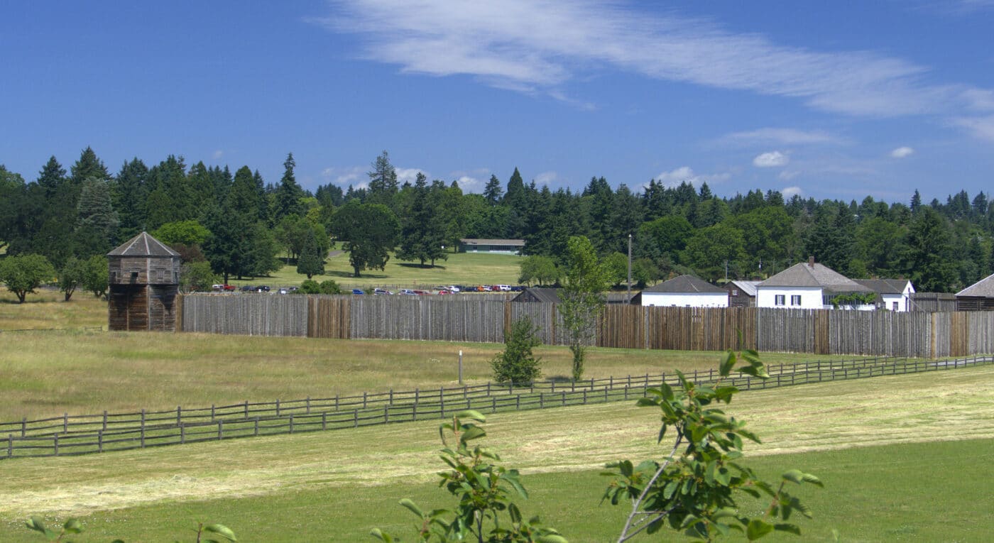
Fort Vancouver National Historic Site
Fort Vancouver National Historic site is the former headquarters of the Hudson’s Bay Company’s Pacific Coast fur trading operations from 1824 until 1860. The Fort was bustling with people from around the region. The area was home to the first Pacific Northwest formal school, hospital, and library. The fort was developed by John McLoughlin.
Today, the original Fort Vancouver is destroyed by fire and time, but a modern replica has been created on the site. All structures are in their original locations. During the summer, visitors can see weapons demonstrations and living-history programs.
Fort Vancouver National Historic Site has three units. One is the main fort. The second site is the McLoughlin House National Historic Site. John McLoughlin is often remembered as the “father of Oregon.” McLoughlin was the head trader for the Hudson’s Bay Company and donated large sums of money and land to the development of the Oregon Territory. The third site is the Pearson Air Museum. Pearson is a small aviation museum that looks at the history of the Pearson Air Field and Vancouver Barracks.
Fort Vancouver National Historic Site has created a National Monument in 1948. The site is located in both Oregon and Washington It became a Historical Site in 1965. McLoughlin House National Historic Site was created in 1941 and it was added to Fort Vancouver NHS in 2003. McLoughlin House is a stop on the Oregon National Historic Trail.
Things to do: Guided Tours, Cultural Demonstrations, Historic Weapons Programs, Hiking, Self-guided Walking Tours
How to get to there: Fort Vancouver is located along the Columbia River in Vancouver, WA. It is located just off I-5. The McLoughlin House Unit is located in Oregon City, OR, and just off I-205. The units are 25 miles apart.
Where to Stay: There are many options to stay in Vancouver, WA, and Oregon City, OR.
Entrance Fee: Free
Official Website: Click Here
Map: Download
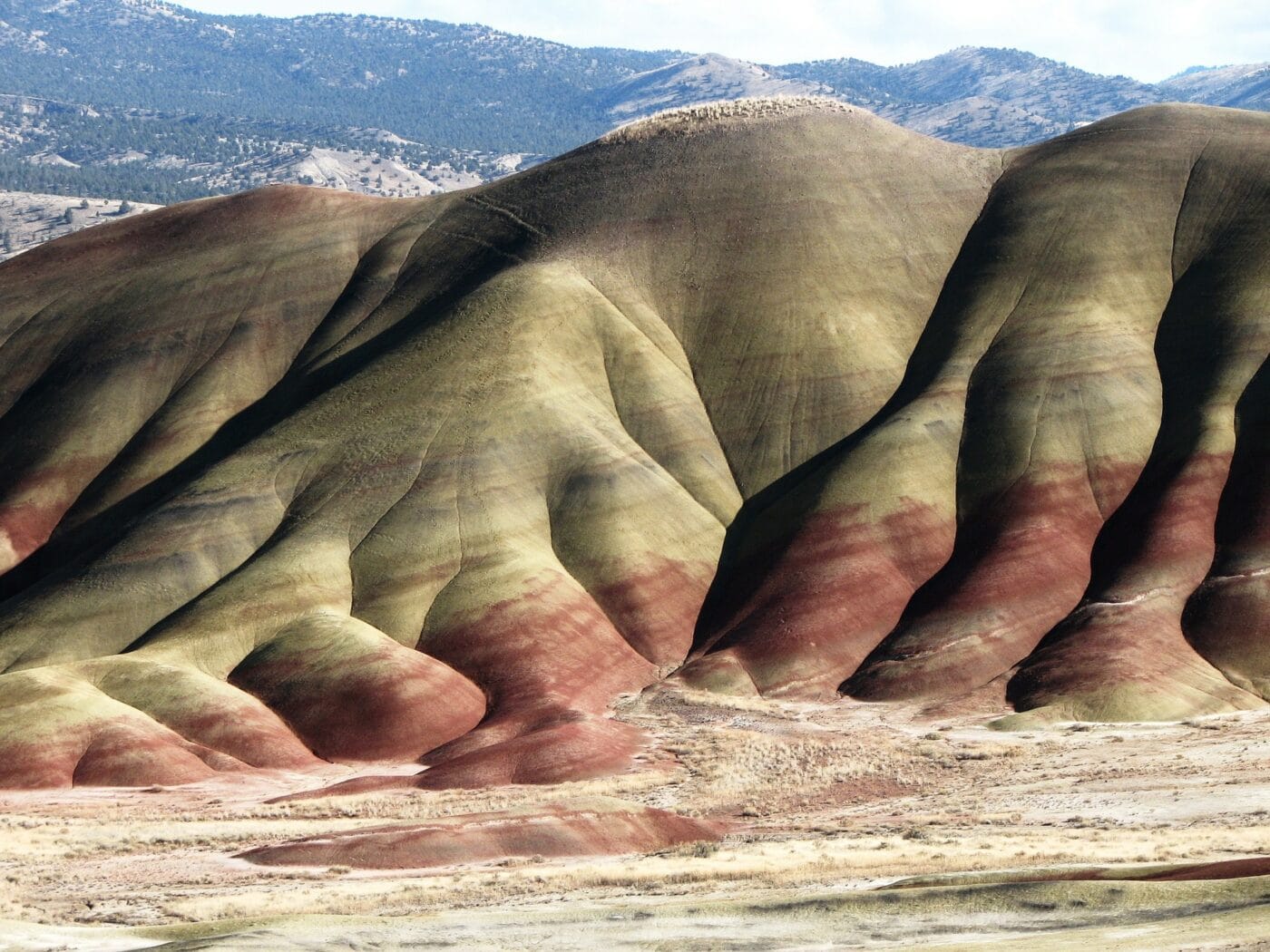
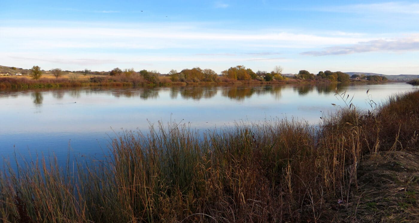
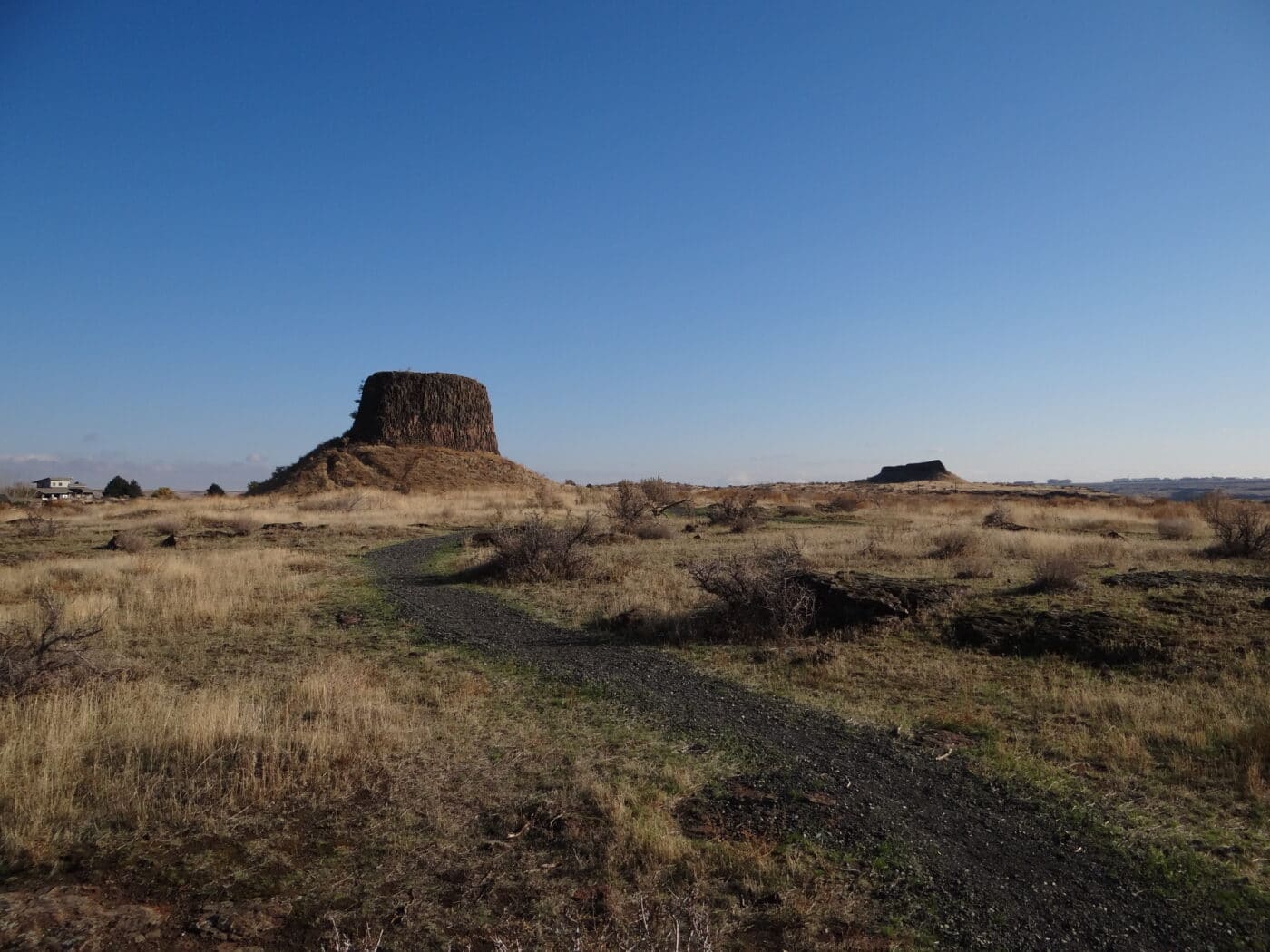
John Day Fossil Beds National Monument
John Day Fossil Beds National Monument is made up of three units in east-central Oregon. Each of these units protects an important geological fossil layer from about 45 million years ago and 5 million years ago.
Today John Day is a semi-desert shrubland with colorful badlands and a riparian zone in the John Day River Basin. The area supports a range of flora and fauna from cactus to grasslands to willow trees. Over 50 species of birds have been seen in the park along with a range of mammals such as elk, raccoons, and coyotes.
The three units are Clarno, Painted Hills and Sheep Rock. The main visitor center is located in the Sheep Rock unit. Sheep Rock and Painted Rock is 45 miles apart. Painted Rock and Clarno is 75 miles, and Clarno to Sheep Rock is 81 miles.
The state of Oregon bought the land in the 1930s and created state parks. On October 8, 1975, the three state parks were combined to make John Day Fossil Beds National Monument.
Things to do: Hiking, Camping, River Rafting, Fishing, Biking, Fossil Gallery, Ranger-led Activities
How to get there: Clarno Unit is located on Highway 218 between Fossil and Antelope. Painted Hills Unit is located north of Mitchell off Highway 26. Sheep Rock Unit is off Highway 19 just north the Highway 26 junction.
Sheep Rock to Painted Hills – 45 mi. (1 hour)
Painted Hills Unit to Clarno Unit – 75 mi. (1 hour 30 minutes)
Clarno Unit to Sheep Rock Unit – 81 mi. (2 hours)
Where to Stay: There are a few options in the towns of Mitchell, Dayville, Kimberly, Fossil and Antelope.
Entrance Fee: Free
Official Website: Click Here
Map: Download
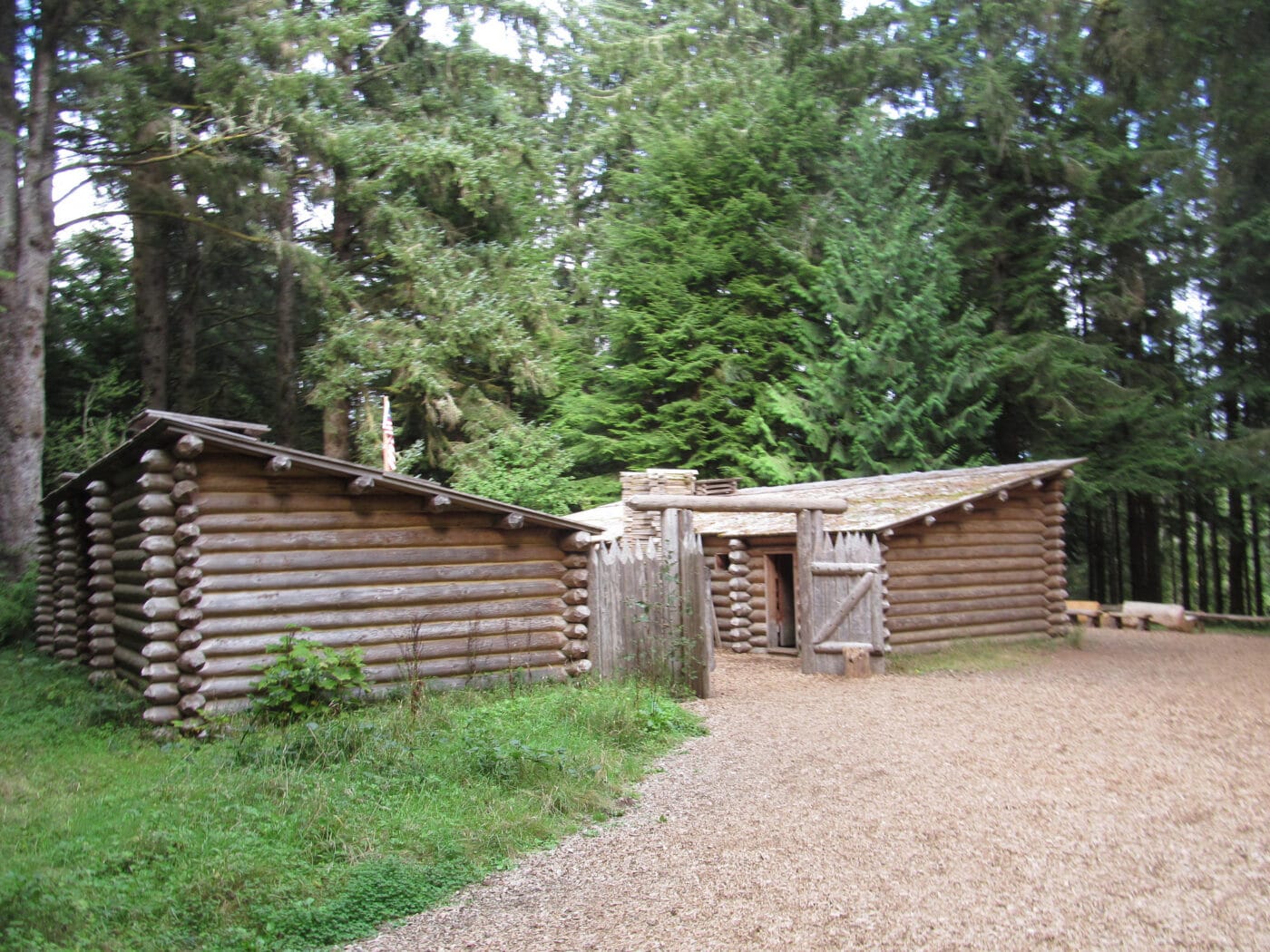
Lewis and Clark National Historical Park
Lewis and Clark National Historical Park preserves the Lewis and Clark Expedition’s 1805-1806 winter encampment site. The area protects a replica of Fort Clatsop and other Oregon coastal sites associated with the encampment. These sites include the Fort to Sea Trail, Clark’s Dismal Nitch, Netul Landing, Saltworks, and Station Camp.
This site celebrated the completion of Lewis and Clark’s Corps of Discovery and is a must-visit on an Oregon Coast Road Trip. They reached their goal of reaching the Pacific Ocean. Once here, they spent the winter before heading home to share their discoveries. They built a small fort called Fort Clatsop for the winter. While there, they developed relationships with the indigenous people before heading back east. When they left Fort Clatsop, they turned the fort over to the local tribe.
Lewis and Clark National Historical Park was established in May 29, 1958, as Fort Clatsop National Memorial. On October 20, 2004, the park was expanded and renamed Lewis and Clark National Historical Park and includes sites in both Oregon and Washington.
Things to do: Audio Tour, Ranger-led Programs, Paddle Tours, Paddling, Hiking, Fishing, and Wildlife Viewing
How to get there: The Visitor Center is located off Highway 10 near the Lewis and Clark River.
Where to Stay: There are many hotel options in Warrenton and Astoria, OR.
Entrance Fee: $10 per person for 7 days.
Map: Download
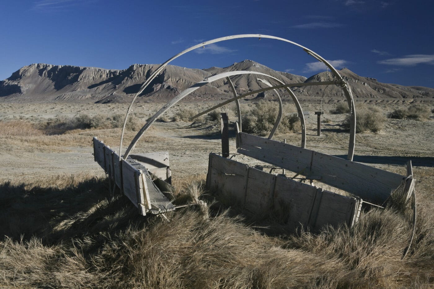
Nez Perce National Historical Park
The Nez Perce National Historical Park follows the Nez Perce people’s traditional lands and history and their resistance to the United States government’s forced relocation. The park contains 38 sites in Idaho, Montana, Oregon and Washington.
The park is headquartered in Spalding, Idaho. It was created on May 15, 1965. Management of the 38 sites is split between NPS and several other federal and state agencies.
There are four sites in Oregon. These are Dug Bar, Joseph Canon Viewpoint, Old Chief Joseph’s Gravesite, and Lostine Campsite.
Things to do: Hiking, Short Walks, Historical Sites, Museums
How to get there: There are 38 different sites spread out between Montana, Idaho, Oregon, and Washington. Look at the park map to figure out the best routes to the sites.
Where to Sta: Many of the towns near the sites offer accommodation options.
Entrance Fee: Free
Official Website: Click Here
Map: Download
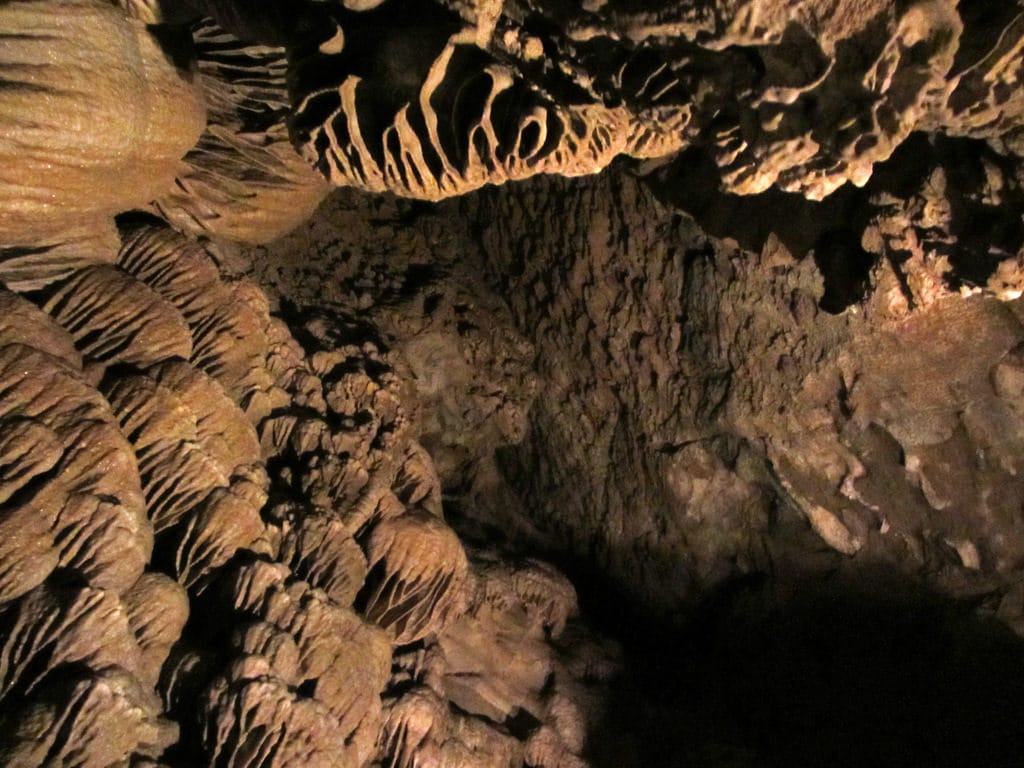
Oregon Caves National Monument and Preserve
Hidden under the Siskiyou Mountains is a unique cave system. Oregon Caves are not your typical cave. Instead of being formed in limestone, it is formed in marble. Only a handful of US caves are made in marble. While the marble was formed over 160 million years due to pressure and heat, the care is estimated to be a couple of million years old.
This amazing cave is protected by the Oregon Caves National Monument and Preserve. This monument preserves and protects the Oregon Cave system and the biodiversity of the Siskiyou mountains. Visitors to Oregon Caves can take guided tours of the cave along with a range of hiking. Guests can spend the night at the historic Chateau at Oregon Caves.
Oregon Caves National Monument and Preserve was created in 1909. The site was transferred to NPS in 1931.
Things to do: Cave Tours, Hiking, Wildlife Viewing, and Hunting
How to get there: The Caves can be reached via OR-46.
Where to Stay: There is lodging available in the monument at the Chateau at the Oregon Caves and in the nearby the town of Cave Junction.
Entrance Fee: Free, Cave Tours start at $10.
Official Website: Click Here
Map: Download
Affiliate Sites of Oregon
California National Historic Trail
The California National Historic Trail is a massive 5,000-mile trail and runs through 10 different states. This trail retraces the overland routes over 250,000 emigrants took to reach the fertile farmlands and famed gold fields of California in the 1840s and 1850s.
Unlike some of the other trails of the National Trails System, the California Trail isn’t a single hiking trail. It is a disconnected series of hiking trails, roads, and sites. Many of the US highways follow the wagon trail the settlers created as they rushed to California. Emigrants had a choice of routes across the United States. These trails start in Missouri and Nebraska. They then run through Kansas, Colorado, and Wyoming before splitting into Idaho and Utah. They go through Nevada and into California and Oregon.
Things to do: Auto Tours, Hiking, Horseback Riding, Museums, Camping
How to get there: The route runs from Missouri and Nebraska to California and Oregon. The various trail routes are approximately followed by various Highways and Interstates.
Where to Stay: There are lots of options for lodging along the trail.
Entrance Fee: There may be nominal fees at trail-related federal, state, or locally owned historic sites and interpretive facilities.
Official Website: Click Here
Map: Download
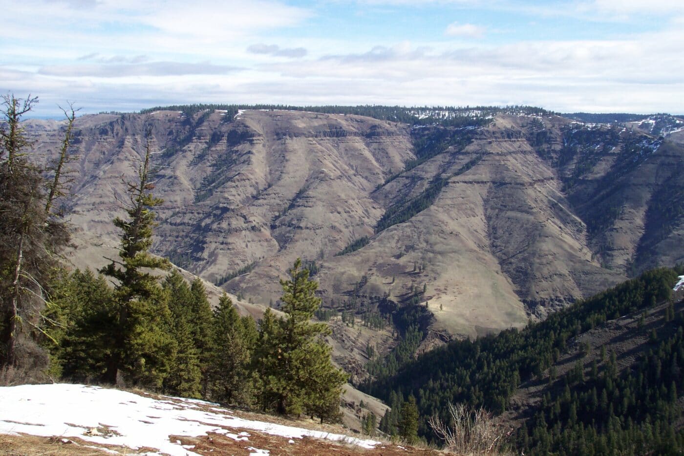
Ice Age Floods National Geologic Trail
The Ice Age Floods National Geologic Trail will massive auto/hiking trail that follows the geological effects of the last ice age. The trail branches out and sections run through the states of Washington, Oregon, Idaho, and Montana. The trail was designated in 2009 and much of the trail is still being formally developed.
At the end of the last ice age, a sheet of ice blocked several important rivers such as Clark Fork and Columbia. These ice dams caused the water to back-up and created massive flooding. The effect of this flooding can be seen in massive canyons such as Columbia River Gorge and Wallula Gap.
Current stops on the trail include Multnomah Falls, Farragut State Park, Beacon Rock State Park, and Dry Falls/Sun Lakes State Park.
Things to do: Hiking, Museums, Scenic Walks, Auto Tours
How to get there: The sites are located through Oregon, Montana Idaho, and Washington.
Where to Stay: There are various places to stay along the trail.
Entrance Fee: There may be nominal fees at trail-related federal, state, or locally owned historic sites and interpretive facilities.
Official Website: Click Here
Map: Download
Lewis and Clark National Historic Trail
The Lewis and Clark National Historic Trail follows the route Meriwether Lewis and William Clark took across the United States’ newly purchased territory. The trail starts at Camp Dubois, Illinois and passes thru Missouri, Kansas, Iowa, Nebraska, South Dakota, North Dakota, Montana, Idaho, Oregon, and ends in Washington. The trail is a combination of auto, land and water routes.
The Lewis and Clark expedition started in May 1804 with the goal to find a practical route across the western region of North America. They were to lay claim to these lands to limit European expansion. The expedition was a success. Lewis and Clark crossed the Louisiana purchase and made it to the Pacific Ocean. They recorded the plants, animals, and landscapes as they traveled. They laid the foundations for future relationships with the American Indian tribes of the relationships.
The trail was established on November 10, 1978. There are over 100 stops along the trail.
Things to do there: Hiking, Auto Tours, Museums,
How to get there: The sites are located in the 16 states the trail runs through.
Where to Stay: There are various places to stay along the trail.
Entrance Fee: There may be nominal fees at trail-related federal, state, or locally owned historic sites and interpretive facilities.
Official Website: Click Here
Map: Download
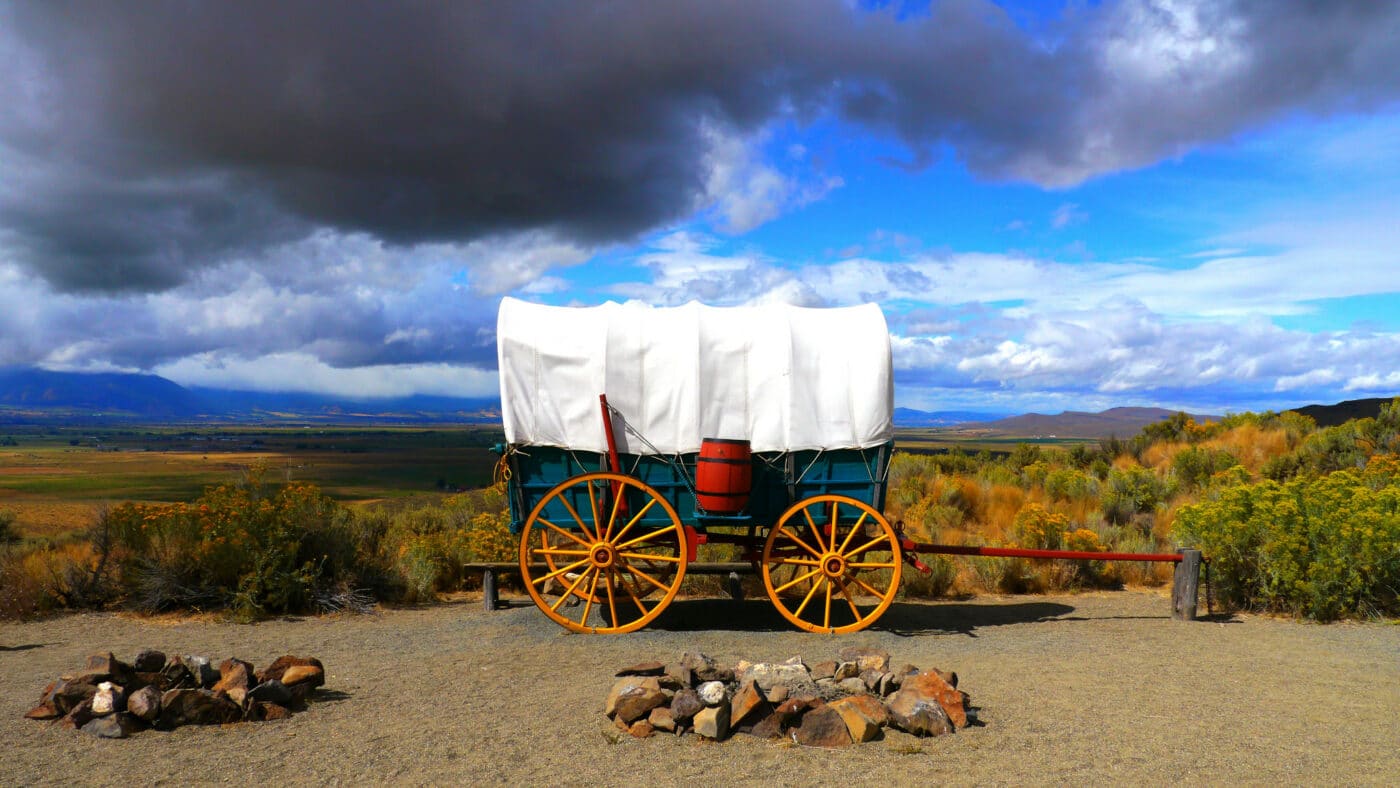
Oregon National Historic Trail
The Oregon National Historic Trail is often called the Oregon Trail. This 2,170-mile trail was used to travel from Independence, Missouri to Oregon Territory. These men and women headed west to fertile farmlands. The first half of the trail was used by travelers on the California National Historic Trail and the Mormon National Historic Trail.
Roughly 400,000 people packed up their lives into covered wagons to follow the Oregon Trail. Several stops along the Oregon Trail are their own national park sites such as Scotts Bluff National Monument, Fort Laramie National Historic Site, Hagerman Fossil Beds National Monument, and Fort Vancouver National Historic Site. Many other sites are within a couple of hours drive of the trail.
Today, the trail runs through Missouri, Kansas, Nebraska, Wyoming, Idaho, Washington, and Oregon. The Oregon National Historic Trail is mostly an autoroute.
Things to do: Auto Tours, Hiking, Sightseeing, Wildlife Watching
How to get there: The sites are located in every state the trail runs through.
Where to Stay: There are various places to stay along the trail.
Entrance Fee: There may be nominal fees at trail-related federal, state, or locally owned historic sites and interpretive facilities.
Official Website: Click Here
Map: Download
List of National Parks in Oregon
There are 6 National Parks in Oregon and they received 943,000 visitors in 2020 and generated over $105 million in tourism economic benefits. The majority of visitors visited Crater Lake National Park.
- Crater Lake National Park
- Fort Vancouver National Historic Site (OR, WA)
- John Day Fossil Beds National Monument
- Lewis and Clark National Historical Park (OR, WA)
- Nez Perce National Historical Park (ID, MT, OR, WA)
- Dug Bar
- Joseph Canon Viewpoint
- Old Chief Joseph’s Gravesite
- Lostine Campsite
- Oregon Caves National Monument and Preserve
Affiliated Areas
- California National Historic Trail (CA, CO, ID, KS, MO, NE, NV, OR, UT, WY)
- Ice Age Floods National Geologic Trail (ID, MT, OR, WA)
- Lewis and Clark National Historic Trail (IA, ID, IL, IN, KS, KY, MO, MT, NE, ND, OH, OR, PA, SD, WA, WV)
- Oregon National Historic Trail (ID, KS, MO, NE, OR, WA, WY)
Oregon National Parks also provides support and management to 1 Wild and Scenic Rivers as well as 2,074 National Register of Historic Places Listings.
There are 17 National Historic Landmarks, 11 National Natural Landmarks, 537 Places recorded by the Heritage Documentation Program, and over 1.29 million objects in the Oregon National Parks Museum Collections. There are 155 Archaeological Sites in the Oregon National Parks.
Oregon is home to 254 State Parks.
Frequently Asked Questions about Oregon National Parks
How many national parks are in Oregon?
There are 6 national parks sites in Oregon. Only one of those sites holds the title “National Park”. This unit is Crater Lake National Park. The other units in Oregon are Fort Vancouver National Historic Site, John Day Fossil Beds National Monument, Lewis and Clark National Historical Park, Nez Perce National Historical Park, and Oregon Caves National Monument and Preserve.
What are the names of the national parks in Oregon?
Here are the names of the national parks in Oregon.
- Crater Lake National Park
- Fort Vancouver National Historic Site
- John Day Fossil Beds National Monument
- Lewis and Clark National Historical Park
- Nez Perce National Historical Park
- Oregon Caves National Monument and Preserve
Why is Mt Hood not a national park?
Mt. Hood is part of Mt. Hood National Forest and is under the management of the US. Foresty Service. There was a push in the 1940s to get the national forest declared a National Park but it was difficult to get support during WWII and the logging industry opposed the move. The initiative failed and there hasn’t been a serious push since.
Is Crater Lake the only national park in Oregon?
Yes, Crater Lake is the only national park in Oregon. Although there are 5 other NPS units with various other titles.
Oregon’s Neighboring States
Planning to visit a few of the National Parks in Oregon and wondering about what national parks are in neighboring states. Here are the list of National Parks in surrounding states.
- California National Parks – California has 9 National Parks (Channel Islands, Death Valley, Joshua Tree, Kings Canyon, Lassen Volcanic, Pinnacles, Redwoods, Sequoia, Yosemite) and 19 oher units.
- Idaho National Parks – Idaho is home to a small portion of Yellowstone National Park and 5 other NPS units.
- Nevada National Parks – Nevada is home to Great Basin National Park, a small section of Death Valley National Park, and 2 other units.
- Washington National Parks – Washinton has 3 National Parks (Mount Rainier, North Cascades, and Olympic)
Final Thoughts on the National Parks of Oregon
I hope this guide to the National Parks of Oregon is helpful as you plan to explore these amazing National Parks.
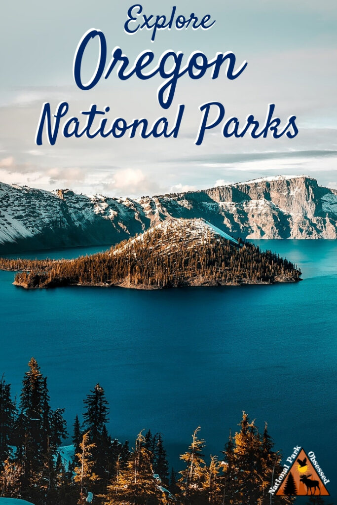
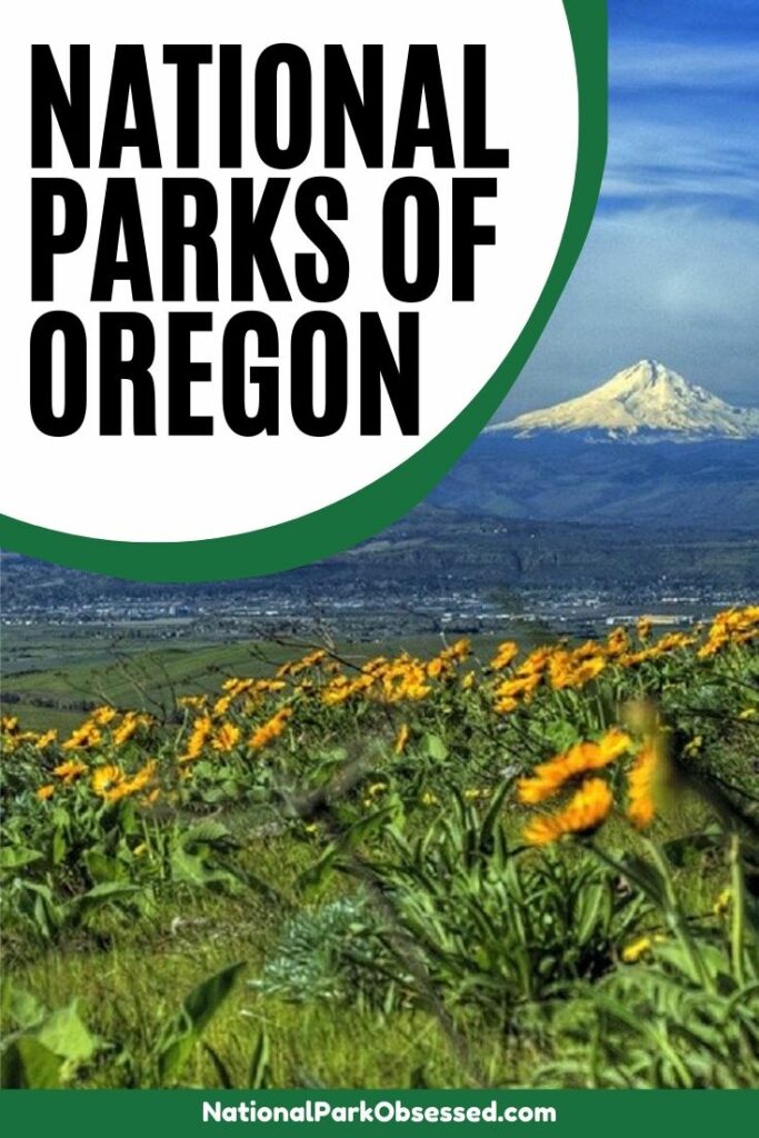
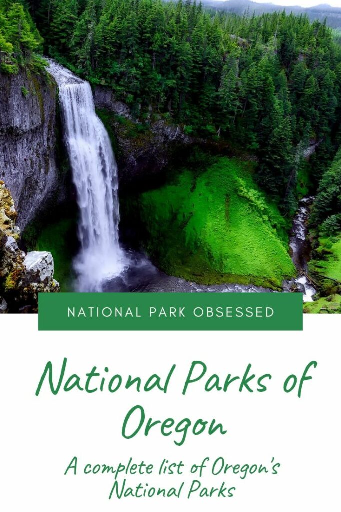
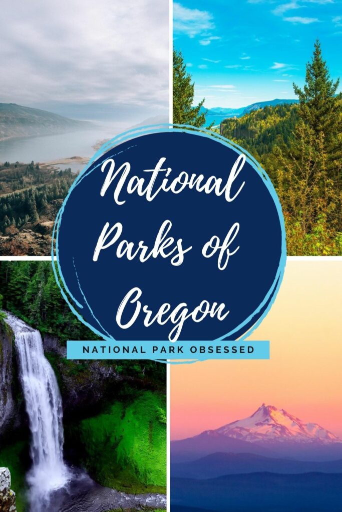
Pin for Later: National Parks in Oregon: Explore the 6 Oregon National Parks (2021 Update)

Hi, I'm Jennifer!

Welcome to the wonderful world of National Parks. I'm here to help you plan your NEXT amazing adventure through the United States National Parks and beyond. I want the national parks to be accessible to all.
I live in Tennessee, and when I'm home, you can find me hiking in the Smokies and the Cumberland Plateau.
58/63 National Parks
250+/423 National Park Units
Want to know more? Start Here.
Snag one of my National Park Ebooks and Downloadable Itineraries

Talk with an Expert

Share your love of the parks with a shirt, ornaments, hoodies, frames, and more.
