National Parks of South Dakota: Explore the 6 South Dakota National Parks
- Jennifer Melroy
- Last Modified August 27, 2022
- First Published on September 3, 2021
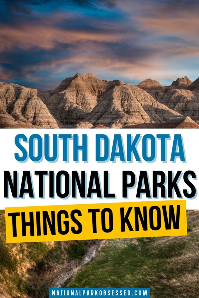

Post summary: National Parks in South Dakota
The state of South Dakota has a lot to offer. Between the Great Plains, the Black Hills, and Badlands National Park, each region of South Dakota offers a unique set of outdoor adventures. There is no shortage of opportunities for adventure seekers. The Missouri River also runs through the state, making it the perfect place for fishing enthusiasts. South Dakota is an excellent destination for those who are looking to reconnect with nature or spend time with family in a quiet setting. Let’s explore the 6 National Parks in South Dakota.
In this South Dakota guide, we will cover:
- A little bit about the 6 National Parks of South Dakota.
- Things to do and where to stay in each South Dakota National Park.
- A Map of the National Parks in South Dakota.

This post may contain affiliate links, meaning if you book or buy something through one of these links, I may earn a small commission at no extra cost to you! Read the full disclosure policy here
List of the 6 National Parks in South Dakota
There are 6 National Parks in South Dakota and 1 Affilaite Area. These parks received 3.7 million visitors in 2020 and generated over $312 million in tourism economic benefits. Most visitors visited Mount Rushmore National Monument (2 million) and Badlands National Parks (1 million).
- Badlands National Park
- Jewel Cave National Monument
- Minuteman Missile National Historic Site
- Missouri National Recreational River
- Mount Rushmore National Memorial
- Wind Cave National Park
Affiliated Areas
- Lewis and Clark National Historic Trail
South Dakota National Parks also provides support and management to 1 Wild & Scenic River as well as 1,371 National Register of Historic Places Listings.
There are 16 National Historic Landmarks, 13 National Natural Landmarks, 148 Places recorded by the Heritage Documentation Program, and over 741,000 objects in the South Dakota National Parks Museum Collections. There are 714 Archaeological Sites in the South Dakota National Parks.
South Dakota is home to 63 State Parks
Map of National Parks in South Dakota
South Dakota National Parks
Badlands National Park
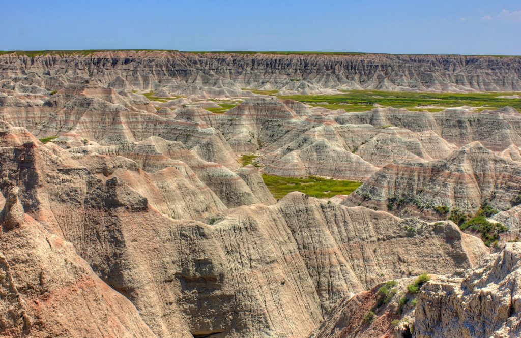
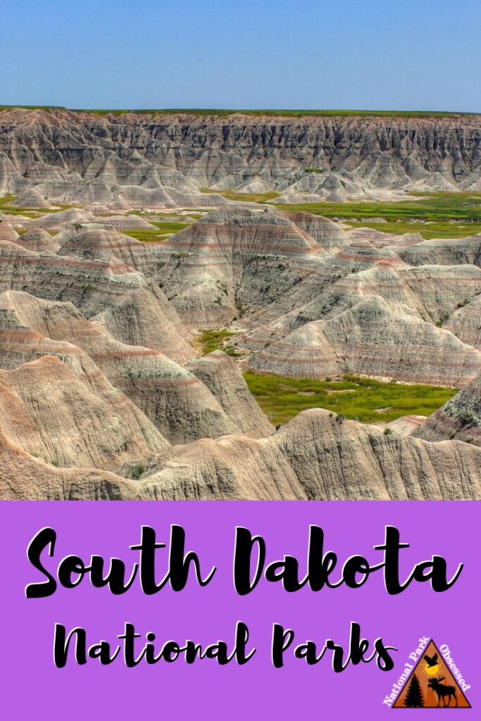
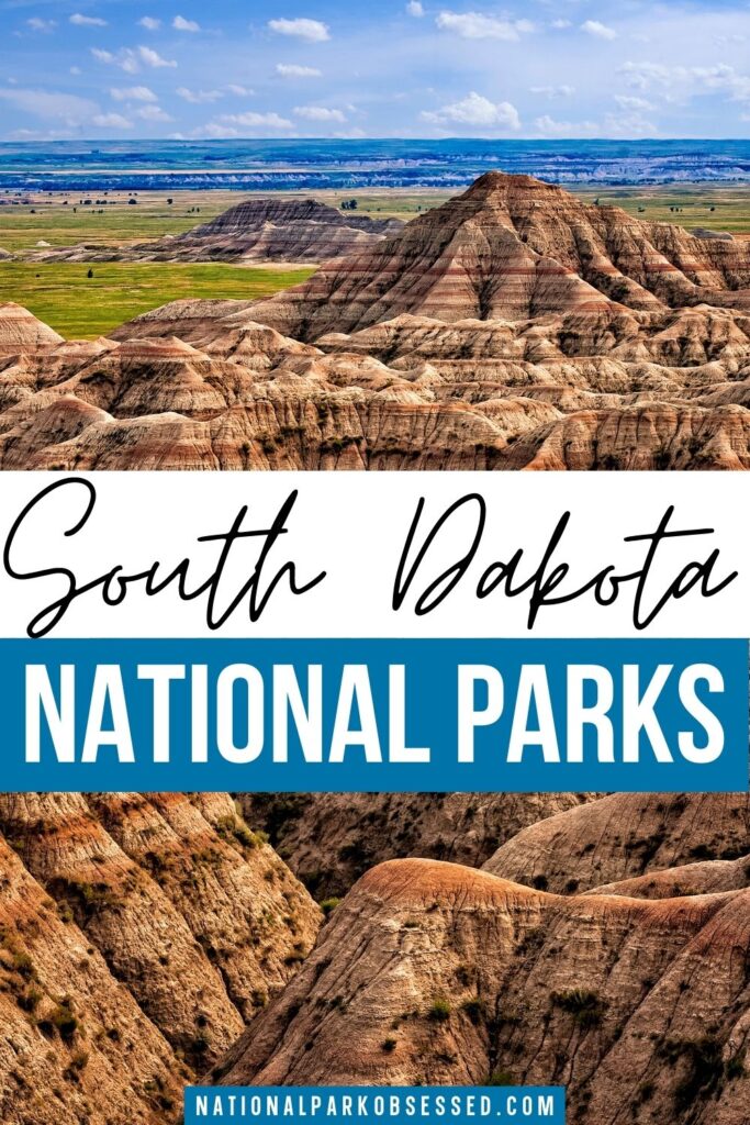
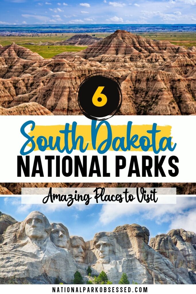
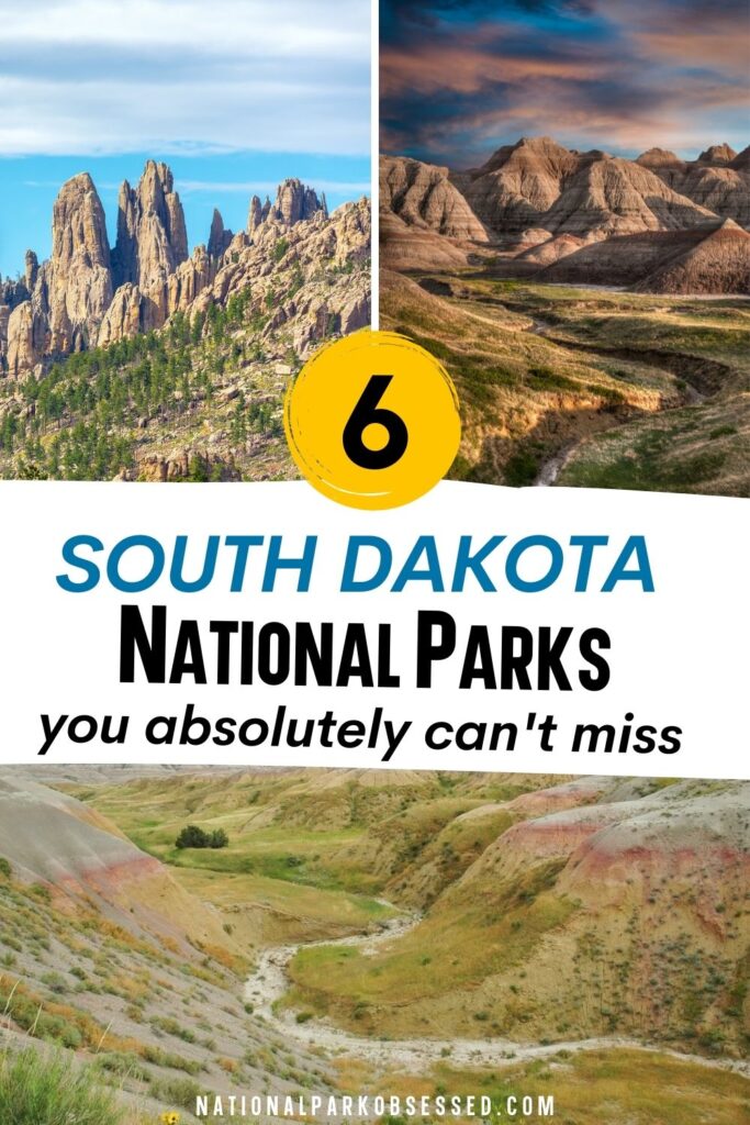
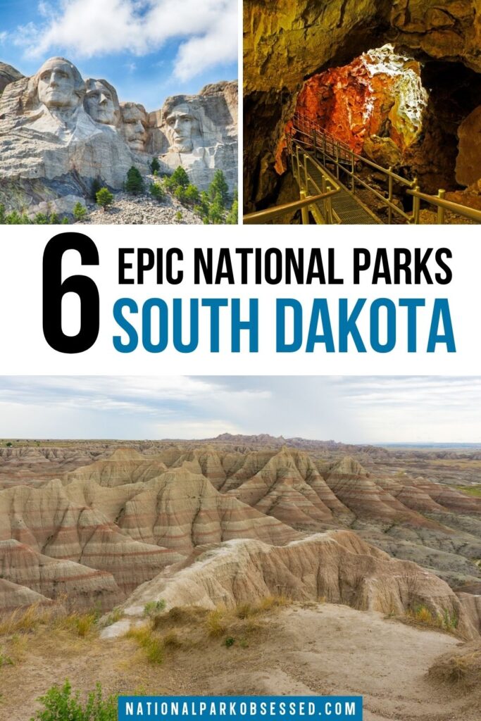
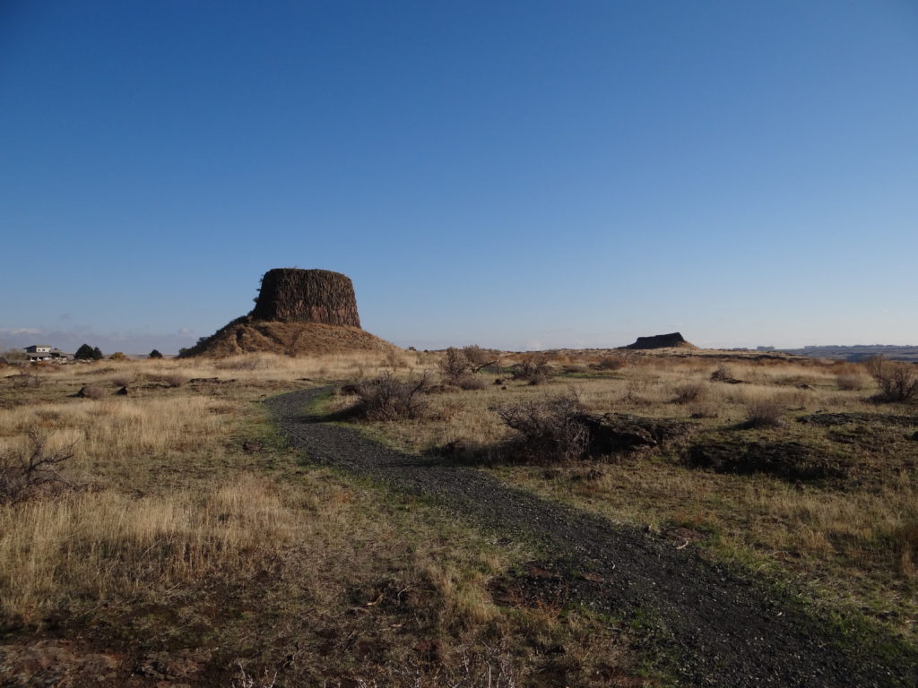
Badlands National Park is located just east of the famed South Dakota Black Hills. The Badlands is a special place where the landscape limited development. The landscape is rugged terrain full of spires, eroded buttes, and pinnacles. This landscape hides a secret. The area is one of the richest fossil beds in the world. Fossils of hornless rhinoceros, three-toed horses, deerlike creatures, and saber-tooth cats have been found.
The park is split into two units. The north unit is managed by NPS and the south unit is managed by NPS with the Oglala Lakota tribe. Most visitors will spend time in the north unit were hiking trails, scenic drives and most visitor services are. It isn’t uncommon for visitors to find fossils in the park. Please leave them where you found them. The southern unit is a sacred site to the Oglala Lakota tribe. The 1890’s Ghost Dances and the tribe’s requests that visitors not touch or remove any objects tied to trees.
Things to do: Hiking, Night Sky Viewing, Wildlife Watching, Backpacking, Looking for Fossils
How to get there: Badlands is about 75 miles east of Rapid City. The park can be reached via I-90 and Highway 240.
Where to Stay: There are options at Wall and Interior, SD >> Check prices of nearby hotels on Booking.com or Hotels.com
Entrance Fee: $30 per vehicle or free with an America the Beautiful Pass.
Official Website: Click Here
Map: Download
Jewel Cave National Monument
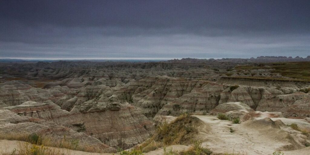
Jewel Cave National Monument doesn’t look like much on a map. The site is 1,273 acres (1.98 sq miles) in size yet the real wonder of this monument is hidden beneath the surface. There is 200.3 mapped miles of cave in Jewel Cave National Monument. Jewel Cave is currently the third largest cave in the world (and the second largest cave in the United States). The cave is only accessible via a ranger-guided tour and there are two hiking trails in the park.
Jewel Cave gets its name from the calcite crystals. This formation cove the cave along formations such as flowstone, draperies, and popcorn make this a special cave. There are two main cave tours. One is the Historic Lantern Tour with follows the original cave discovery route. The second is the Discovery tour which takes you down the caves great room.
Jewel Cave National Monument was created on February 7, 1908. As of 1959, only two miles of cave had been mapped. In 1960 and 1961, Herb and Jan Conn added 15 miles of mapped cave and it has exploded from there. On December 18, 2018, a group of six cavers mapped the 200th mile of cave in Jewel Cave. Jan Conn was there to celebrate this milestone.
Things to do: Guided Cave Tours, Hiking
How to get there: Jewel Cave is 13 miles west of Custer, SD along Highway 16.
Where to Stay: Custer, SD offers a range of hotel and lodging options. >> Check prices of nearby hotels on Booking.com or Hotels.com
Entrance Fee: Free, but cave tours are an additional charge not covered by the America the Beautiful Pass
Official Website: Click Here
Map: Download
Minuteman Missile National Historic Site
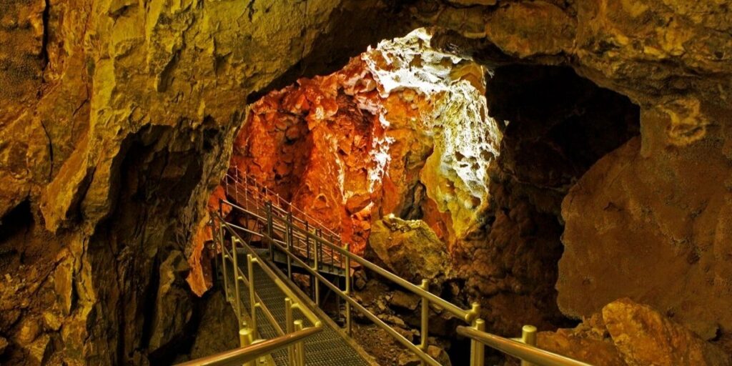
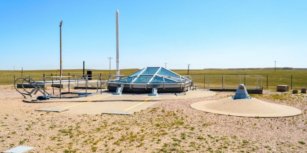
Minuteman Missile National Historic Site is an unimposing site. It is one of the smaller National Park Service Units. The site is only 15 acres but they are important 15 acres. Stand at the doors of the visitor center and look around. The landscape looks much the same as it did in the 1950s. However, for about 30 years starting in the 1960s, this barren landscape was home to 150 Minuteman Missiles and 15 launch-control centers. These missiles were part of the Cold War’s nuclear arms race.
It was a time of great paranoia between the United States and the USSR. And all it would take was 2 sets of young men to turn a few keys to launch all 15o missiles towards the USSR. With the missiles away, the USSR would launch their own arsenal and both counties would have destroyed each other. Thankfully, the fear of mutually assured destruction kept the missiles safely stored in their silos.
In the 1990s, Strategic Arms Reduction Treaty was signed and the Soviet Union fell. The missiles were decommissioned and most the silos were filled in. It was decided to save underground missile silo D-01 (Delta One) and launch facility D-09 (Delta Nine). These two sites plus a visitor center make up Minuteman Missile National Historic Site. This site was established by November 29, 1999.
Things to do: Historical Tours
How to get there: There are 3 sites in the park which are all along I-90. The Visitor Center is at Exit 131. Delta-01 is at Exit 127 (guided tour entrance only). Delta-09 is at Exit 116 and is open year round.
Where to Stay: The best place to stay in around Wall, SD. >> Check prices of nearby hotels on Booking.com or Hotels.com
Entrance Fee: Free, guided tours are an additional charge not covered by the America the Beautiful Pass.
Official Website: Click Here
Map: Download
Missouri National Recreational River
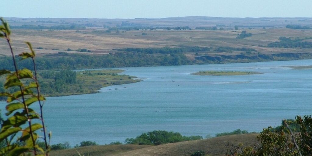
Missouri National Recreational River is a 98 miles section of the Missouri River along with 20 miles of the lower Niobrara River and 8 miles of the Verdigre Creek along the borders of South Dakota and Nebraska. This section of the Missouri River is the only section not controlled by a dam or in channels.
Visitors will find the river wild and untamed much as Lewis and Clark saw on their expedition to the Pacific Ocean. It is possible to launch canoes and kayaks to explore the river. Head to Ponca State Park and Niobrara State Park for visitor services.
Missouri National Recreational River was established on November 10, 1978.
Things to do: Boating, Bird Watching, Camping, Canoe/Kayaking, Scenic Drives, Hiking, Biking, Fishing
How to get there: Missouri River can be reached from US 81 from Yankton, SD or US 52 via Wagner, SD.
Where to Stay: If not camping, then stay at Yankton or Wagner, SD. >> Check prices of nearby hotels on Booking.com or Hotels.com
Entrance Fee: Free but the partner state parks change fees.
Official Website: Click Here
Map: Download
Mount Rushmore National Memorial
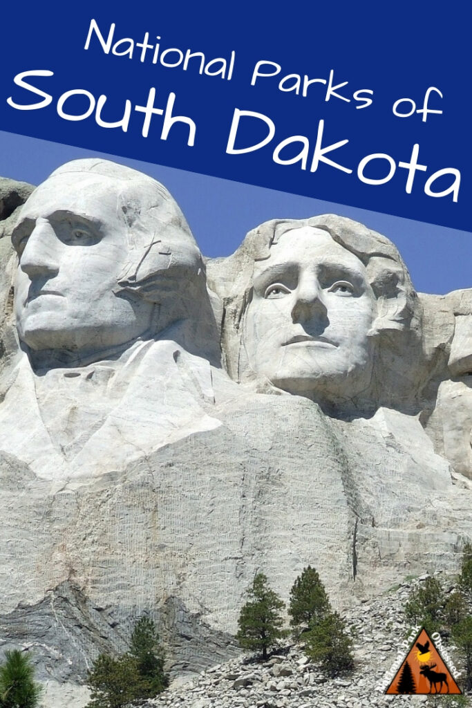
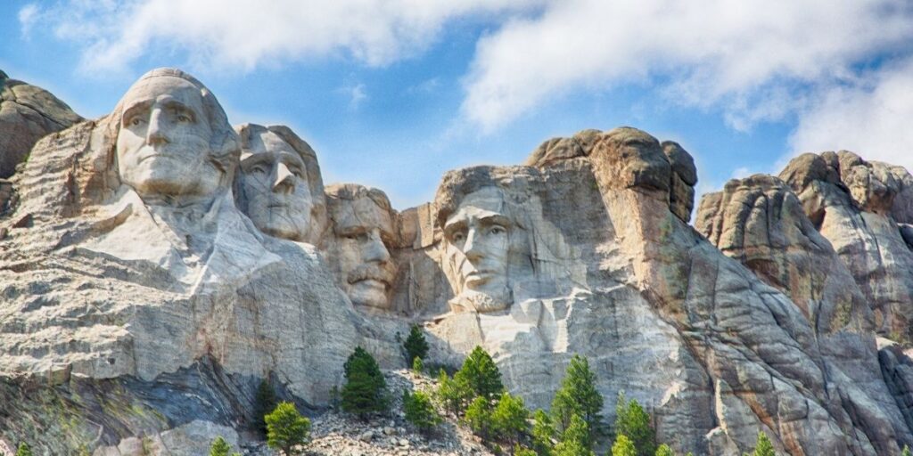
Mount Rushmore National Memorial is one of the most famous statues in the United States. It is one of the iconic images of America. Mount Rushmore is the original “Saw on Instagram.” The entire purpose of the site was to increase tourism to the region. This massive sculpture was designed by Gutzon Borglum. Borglum came up with the sculpture after being approached by historian Doane Robinson.
Borglum started work on the sculpture in October 1927 with the help of his son. The plan was to depict Presidents George Washington, Thomas Jefferson, Theodore Roosevelt, and Abraham Lincoln from head to waist. These four Presidents were selected by Borglum for their role in preserving the Republic and expanding the nation. Construction lasted until October 1941. The project ended due to lack of funds and Borglum had died in March 1941. Lincoln Borglum oversaw the final stage of work after his father’s death. In the end, only the heads were finished.
Mount Rushmore National Memorial was established on March 3, 1925.
Things to do: Hiking, Ranger Programs, Self-Guided Tours
How to get there: Mount Rushmore can get reached via I-90 and US Highway 16 to SD 244 or US 385 to SD 244.
Where to Stay: Custer,SD has a range of lodging and food options. >> Check prices of nearby hotels on Booking.com or Hotels.com
Entrance Fee: Free but parking is $25. Parking fees are NOT covered America the Beautiful Pass.
Official Website: Click Here
Map: Download
Wind Cave National Park
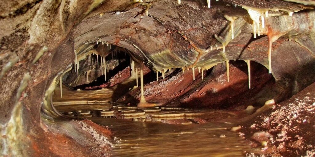
Wind Cave National Park contains the 7th longest cave in the world. Wind Cave was the cave to be designed a national park in the world. Wind Cave has 143.15 miles of mapped cave and is the world’s densest cave system. Visitors should check out the three-dimensional maps in the visitor center to understand the size and complexity of Wind Cave.
Wind Cave gets its name from the airflow into or out of the cave. If a high-pressure system is moving into the area. Air will rush into the cave. When a low-pressure system is present, air rushes out of the cave. Wind Cave is less than 30 miles from Jewel Cave, yet it is highly unlikely that these two caves are connected. Jewel Cave has a different pressure and air doesn’t flow in and out of Jewel Cave the same way as Wind Cave. Wind Cave contains 95% of the world’s box work (a unique cave formation).
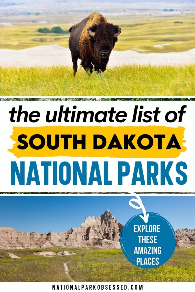
Visitors shouldn’t just focus on the cave when in Wind Cave. Above ground is a network of hiking trails thru a natural mixed-grass prairie. Bison, coyotes, and pronghorns are found throughout the grasslands.
Wind Cave National Park was established on January 9, 1903.
Things to do: Hiking, Cave Tours
How to get there: Wind Cave is located on US 385.
Where to Stay: Custer, SD is a little far but is really the best option for lodging near the park.>> Check prices of nearby hotels on Booking.com or Hotels.com
Entrance Fee: Free but guided tours are an additional charge not covered by the America the Beautiful Pass.
Official Website: Click Here
Map: Download
Affiliate Sites of South Dakota
Lewis and Clark National Historic Trail
Lewis and Clark National Historical Park preserves the Lewis and Clark Expedition’s 1805-1806 winter encampment site. The area protects a replica of Fort Clatsop and other sites associated with the encampment. These sites include the Fort to Sea Trail, Clark’s Dismal Nitch, Netul Landing, Saltworks, and Station Camp.
This site celebrated the completion of Lewis and Clark’s Corps of Discovery. They reached their goal of reaching the Pacific Ocean. Once here, they spent the winter before heading home to share their discoveries. They built a small fort called Fort Clatsop for the winter. While there, they developed relationships with the indigenous people before heading back east. When they left Fort Clatsop, they turned the fort over to the local tribe.
Lewis and Clark National Historical Park was established on May 29, 1958, as Fort Clatsop National Memorial. On October 20, 2004, the park was expanded and renamed Lewis and Clark National Historical Park and includes sites in both Oregon and Washington.
Things to do: Hiking, Auto Tours, Museums,
How to get there: The sites are located in the 16 states the trail runs through.
Where to Stay: There are various places to stay along the trail.
Entrance Fee: Free but various attractions along the trail may charge an entrance fee.
Official Website: Click Here
Map: Download
Frequently Asked Questions about South Dakota’s National Parks
How many national parks are in South Dakota?
South Dakota has 6 national parks or National Park Service Units. These include Badlands National Park. Jewel Cave National Monument, Minuteman Missile National Historic Site, Missouri National Recreational River, Mount Rushmore National Memorial, Wind Cave National Park. While 4 of these six units are called something other than National Park but they are still national parks in the eyes of the National Park Service.
Does South Dakota have any National Parks?
Yes, South Dakota has two National Parks – Badlands and Wind Cave.
What’s the name of the National Park in South Dakota?
Badlands National Park and Wind Cave National Park.
Is Mount Rushmore considered a National Park?
Yes. No. Let’s go with it’s complicated. Mount Rushmore is a national park but it isn’t a National Park. National Park Service considers the 423 units they manage to all be national parks not matter what their title is.
RELATED POST: What is the difference between a National Monument and National Park.
Is Lewis and Clark National Historic Trail part of the National Park System?
The Lewis and Clark National Historic Trail is not an official until the National Park System. It is an associated unit, meaning that NPS helps with the management, but it isn’t part of the 423 units.
What other national parks are near Mount Rushmore?
Mount Rushmore nearby attractions
- Crazy Horse Memorial – 30 minutes (17 miles)
- Custer State Park – 40 minutes (19 miles)
- Jewel Cave National Monument – 40 minutes (32 miles)
- Badlands National Park – 1.5 hours (84 miles)
- Minuteman Missile National Historic Site – 2 hours (94 miles)
- Devil’s Tower National Monument, Wyoming – 2.25 hours (130 miles)
South Dakota’s Neighboring States
Planning to visit a few of the National Parks in South Dakota and wondering what national parks are in neighboring states. Here is the list of National Parks in surrounding states.
- National Parks of Iowa – Iowa has 2 NPS units.
- National Parks of Minnesota – Minnesota is home to Voyageurs National Park and 4 other NPS units.
- National Parks of Montana – Montana is home to Glacier National Park and a small section of Yellowstone National Park as well as 6 other units.
- National Parks of Nebraska – Nebraska is home to 5 NPS units.
- National Parks of North Dakota – North Dakota is home to Theodore Roosevelt National Park and 2 other units.
- National Parks of Wyoming – Wyoming is home to Grand Teton and Yellowstone National Parks as well as 5 other units.
Final Thoughts on the National Parks of South Dakota
I hope this guide to the National Parks of South Dakota is helpful as you plan to explore these amazing National Parks.
Pin for Later: National Parks in South Dakota: Explore the 6 South Dakota National Parks (2021 Update)

Jennifer Melroy
Hi, I'm Jennifer!
Welcome to the wonderful world of National Parks. I'm here to help you plan your NEXT amazing adventure through the United States National Parks and beyond. I want the national parks to be accessible to all.
I live in Tennessee, and when I'm home, you can find me hiking in the Smokies and the Cumberland Plateau.
58/63 National Parks
250+/423 National Park Units
Want to know more? Start Here.
ACKNOWLEDGEMENT OF LAND
On this site, we promote travel to the United States and beyond that are the traditional lands of Indigenous and First Nations peoples.
With respect, I make a formal land acknowledgment, extending my appreciation and respect to these lands’ past and present people.
To learn more about the people who call these lands home, I invite you to explore Native Land.
DISCLAIMER
National Park Obsessed assumes no responsibility or liability for any errors or omissions in the content of this site (NationalParkObsessed.com). The information contained in this site is provided with no guarantees of completeness, accuracy, usefulness or timeliness. You are encouraged to conduct your own due diligence before acting on the information provided on this site and should not rely on the opinions expressed here.
There is an inherent risk in all outdoor recreation activities, the reader assumes all responsibility for their own personal safety.
DISCLOSURE
We are a participant in the Amazon Services LLC Associates Program, an affiliate program designed to provide a means for us to earn fees by linking to Amazon.com and affiliated sites.
Privacy Policy • About Us • Contact
Select stock photography provided depositphotos
Copyright ©2023 National Park Obsessed, LLC
Privacy Overview
Last Updated on 27 Aug 2022 by Jennifer Melroy
