This image features a promotional graphic for AllTrails with the text "AllTrails FREE TRIAL" superimposed over a topographic map background showing various hiking trails and elevation markers. The AllTrails logo is prominent in the center, and there's a badge for "National Park Obsessed" at the bottom left corner. The map details include named locations like Mount Le Conte and Mount Ambler.

AllTrails+ 7-Day Free Trial

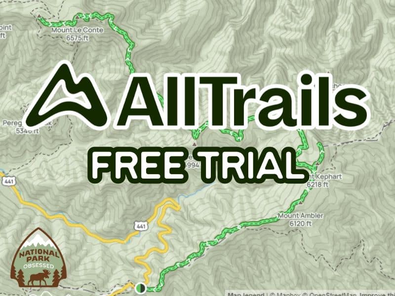
National Park Obsessed members get a 7-Day Free Trial of AllTrails+.

It doesn’t matter if you are new to exploring National Parks or are an old hat at it. AllTrails is a must-have app for all National Park explorers. It revolutionizes your hiking experience by offering detailed trail maps, user reviews, and essential tips to help you navigate and enjoy the trail like never before.

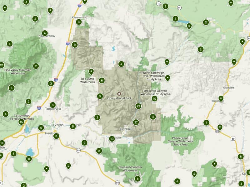
Whether you’re planning a visit to Yellowstone, Yosemite, or any other of the 63 National Parks, the AllTrails app can help you find the perfect trail on the fly.

This post may contain affiliate links, meaning if you book or buy something through one of these links, I may earn a small commission at no extra cost to you! Read the full disclosure policy here

This image displays a map view centered around Zion National Park and its surrounding areas. It features various marked points indicating trails, landmarks, and wilderness areas, such as Pine Valley Mountain Wilderness and Red Butte Wilderness. Major routes and towns like Hurricane and Springdale are visible, and the terrain is differentiated by shades of green and gray to distinguish between mountainous regions and flatlands. Each marked point is labeled with a number, possibly representing specific trails or attractions within the park.

NPO Readers and NPTP Group Members get a 7-Day Free Trial of AllTrails+.

These discounts are for NPO readers and NPTP Facebook Group members. Users are required to be in our free Facebook group. If you’re not on Facebook, you must be an NPO newsletter subscriber. By booking through us, you will enjoy a discount while supporting us.

AllTrails app is available for both iOS and Android devices. Users can opt for the free version or upgrade to AllTrails Pro, which unlocks additional features like offline maps and real-time overlays.

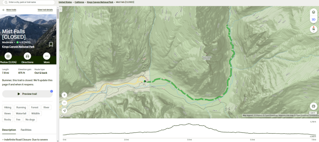
AllTrails has an extensive database of over 200,000 trails worldwide. Each trail entry includes:

  • Detailed Descriptions: Information about the trail length, elevation gain, difficulty level, and estimated time to complete.
  • Interactive Maps: Topographic maps with trail routes clearly marked, including waypoints and points of interest.
  • User Reviews and Photos: Real-time feedback from fellow hikers provides invaluable insights into current trail conditions and highlights.
This image is a detailed screenshot from the AllTrails website featuring the Mist Falls trail in Kings Canyon National Park, currently marked as closed. The left side shows a photograph of the Mist Falls area, trail stats such as a 7.8 mile length and 875 feet elevation gain, and user ratings. The main part of the image displays a topographic map with the trail route highlighted in green, elevation contours, and points of interest like Buck Peak. Additional features like trail descriptions, tags for activities (like hiking and running), and warnings about the trail closure are included in the interface.

NPO Readers and NPTP Group Members get a 7-Day Free Trial of AllTrails+.

Hi, I'm Jennifer!

Welcome to the wonderful world of National Parks. I'm here to help you plan your NEXT amazing adventure through the United States National Parks and beyond. I want the national parks to be accessible to all.

I live in Tennessee, and when I'm home, you can find me hiking in the Smokies and the Cumberland Plateau.

58/63 National Parks

250+/423 National Park Units

Want to know more? Start Here.

Explore More
Snag one of my National Park Ebooks and Downloadable Itineraries
Talk with an Expert
Share your love of the parks with a shirt, ornaments, hoodies, frames, and more.

ACKNOWLEDGEMENT OF LAND

On this site, we promote travel to the United States and beyond that are the traditional lands of  Indigenous and First Nations peoples.

With respect, I make a formal land acknowledgment, extending my appreciation and respect to these lands’ past and present people.

To learn more about the people who call these lands home, I invite you to explore Native Land.

DISCLAIMER

National Park Obsessed assumes no responsibility or liability for any errors or omissions in the content of this site (NationalParkObsessed.com). The information contained in this site is provided with no guarantees of completeness, accuracy, usefulness or timeliness. You are encouraged to conduct your own due diligence before acting on the information provided on this site and should not rely on the opinions expressed here.

There is an inherent risk in all outdoor recreation activities, the reader assumes all responsibility for their own personal safety.

DISCLOSURE

We are a participant in the Amazon Services LLC Associates Program, an affiliate program designed to provide a means for us to earn fees by linking to Amazon.com and affiliated sites.

Privacy Policy • About Us • Contact

Select stock photography provided depositphotos

Copyright ©2023 National Park Obsessed, LLC