National Parks of Massachusetts
There is currently sixteen National Park Service Site in Massachusetts and five associated sites.
Official National Parks of Massachusetts
- Adams National Historical Park
- Appalachian National Scenic Trail
- Blackstone River Valley National Historical Park
- Boston African American National Historic Site
- Boston Harbor Islands National Recreation Area
- Boston National Historical Park
- Cape Cod National Seashore
- Frederick Law Olmsted National Historic Site
- John F. Kennedy National Historic Site
- Longfellow House–Washington’s Headquarters National Historic Site
- Lowell National Historical Park
- Minute Man National Historical Park
- New Bedford Whaling National Historical Park
- Salem Maritime National Historic Site
- Saugus Iron Works National Historic Site
- Springfield Armory National Historic Site
Associated sites of Massachusetts
- Essex National Heritage Area
- John H. Chafee Blackstone River Valley National Heritage Corridor
- New England National Scenic Trail
- The Last Green Valley National Heritage Corridor
- Washington-Rochambeau National Historic Trail
[show-map id=”36″]
Massachusetts National Parks
Adams National Historical Park
Appalachian National Scenic Trail
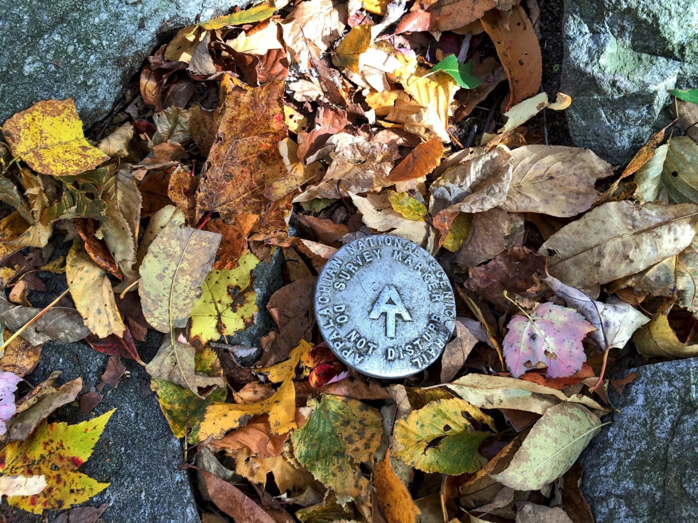
Depending on where you are from, the Appalachian National Scenic Trail either starts in Mount Katahdin, Maine and ends in Springer Mountain, Georgia, or starts in Springer Mountain, Georgia, and ends in Katahdin, Maine. The Appalachian Trail is 2,181 miles long and passes through 14 states (Georgia, North Carolina, Tennessee, Virginia, West Virginia, Maryland, Pennsylvania, New Jersey, New York, Connecticut, Massachusetts, Vermont, New Hampshire, and Maine).
There is 90 miles of trail in the state of Massachusetts. The highest point of the trail is Mount Everett at 2,604 ft before heading down into the Housatonic River Valley before passing the Mount Greylock, the highest point in Massachusetts.
Every year several thousand people attempt to thru-hike the trail. Tens of thousands of people will hike sections of the trail each year. The trail was officially completed in 1937 but the improvement has been ongoing since then. The trail is maintained by 31 different trail clubs and other partnerships.
Things to do in Appalachian National Scenic Trail: Hiking, Wildlife Viewing, Scenic Views
How to get to Appalachian National Scenic Trail: There are multiple access points along the trail. Many of which are driveable.
Where to Stay in Appalachian National Scenic Trail: Along the trail, there are numerous shelters and backcountry campgrounds. Hotels are available in towns along the trail.
Appalachian National Scenic Trail Entrance Fee: There is no entrance fee for the Appalachian Trail but the trail passes through numerous state and national parks, forests and public lands which may charge an entrance fee or have overnight permit fees.
Appalachian National Scenic Trail Official Website: Click Here
Map of Appalachian National Scenic Trail: Download
Blackstone River Valley National Historical Park
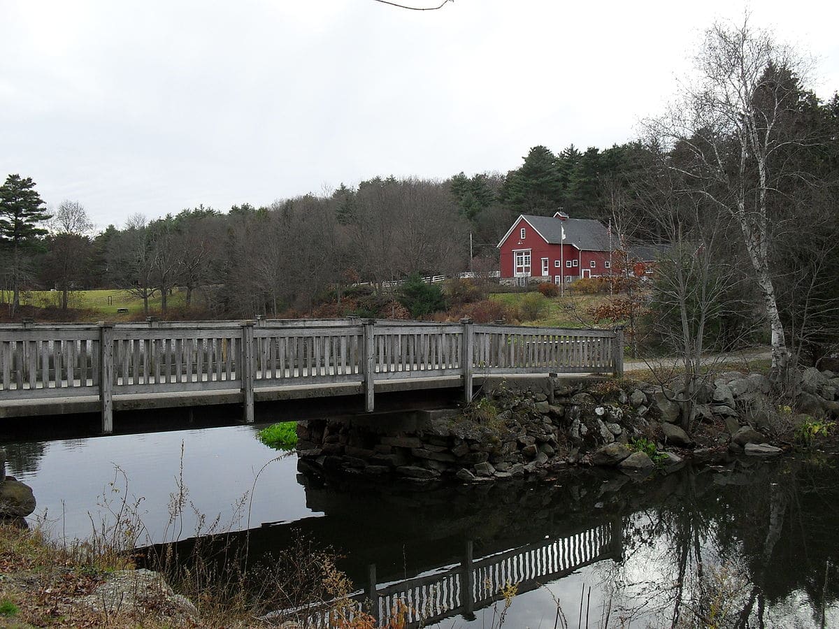
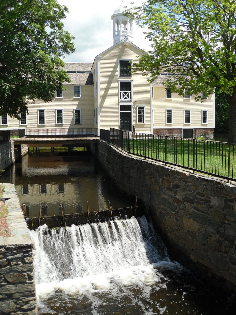
Blackstone River Valley National Historical Park protects the industrial heritage of the Blackstone River Valley. The Historical Park is made up of seven sites in Massachusetts and Rhode Island. Blackstone River Valley was the site of some of the earliest textile mills in the United States. They helped bring about the American Industrial Revolution.
The park is made of the Blackstone River and the Blackstone Canal both waterways connect Massachusetts and Rhode Island. Four sites are located in Rhode Island. These are Blackstone River State Park, Ashton Historic District, Slater Mill National Historic Landmark District, and the Slatersville Historic District. The Massachusetts sites are Whitinsville Historic District and Hopedale Village Historic District.
Blackstone River Valley National Historical Park was established on December 19, 2014. The sites are managed in conjunction with private institutions and state governments.
Things to do in Blackstone River Valley National Historical Park: Self-guided walking tours, museums, ranger programs
How to get to Blackstone River Valley National Historical Park: The park is located between I-395 and I-495. If you are flying in the closest major airport is Boston’s Logan International Airport.
Where to Stay in Blackstone River Valley National Historical Park: There are many hotel options near Blackstone or surrounding areas. Worcester, MA is the closest mid-sized city.
Blackstone River Valley National Historical Park Entrance Fee: Free, but some of the state and privately managed buildings in the park may have an entrance fee.
Blackstone River Valley National Historical Park Official Website: Click Here
Boston African American National Historic Site
Boston Harbor Islands National Recreation Area
Boston National Historical Park
Cape Cod National Seashore
Frederick Law Olmsted National Historic Site
John F. Kennedy National Historic Site
Longfellow House–Washington’s Headquarters National Historic Site
Lowell National Historical Park
Minute Man National Historical Park
New Bedford Whaling National Historical Park
Salem Maritime National Historic Site
Saugus Iron Works National Historic Site
Springfield Armory National Historic Site
Essex National Heritage Area
John H. Chafee Blackstone River Valley National Heritage Corridor
John H. Chafee Blackstone River Valley National Heritage Corridor overs 24 cities in Rhode Island and Massachusetts. The Corridor helps protect the history of the Blackstone River Valley. The Blackstone River Valley National Historical Park makes up a small portion of the Heritage Corridor. The Corridor promotes the protection of the historic mill towns that made up the early American Industrial Revolution.
John H. Chafee Blackstone River Valley National Heritage Corridor is managed by National Park Service, two state governments, dozens of local municipalities, businesses, nonprofit historical and environmental organizations, educational institutions, and many private citizens. John H. Chafee Blackstone River Valley National Heritage Corridor was created on October 12, 2006.
Things to do in John H. Chafee Blackstone River Valley National Heritage Corridor: Bicycling, Padding, Historic tours, museums
How to get to John H. Chafee Blackstone River Valley National Heritage Corridor: The Corridor follows Route 146 and intersects with I-95 and I-295. The closest major airports are Providence, RI, and Boston, MA.
Where to Stay in Bering Land Bridge National PreserveJohn H. Chafee Blackstone River Valley National Heritage Corridor: Lodging is available in Providence, Pawtucket, Lincoln and Woonsocket, RI as well as Uxbridge and Worcester, MA
John H. Chafee Blackstone River Valley National Heritage Corridor Entrance Fee: Free, but some of the state and privately managed buildings in the park may have an entrance fee.
John H. Chafee Blackstone River Valley National Heritage Corridor Official Website: Click Here
Map of John H. Chafee Blackstone River Valley National Heritage Corridor: Download
New England National Scenic Trail
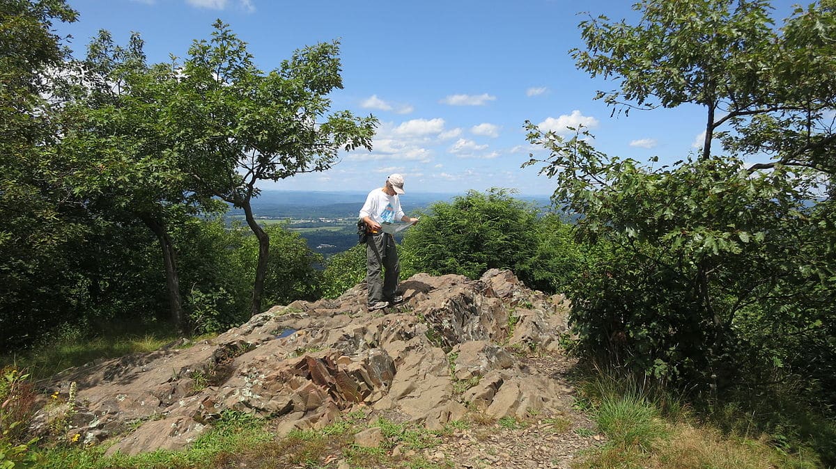
The New England National Scenic Trail is a 215-mile trail from Long Island Sound across the mountain ridges of Connecticut and Massachusetts. Approximately 115 miles of the trail is located in Connecticut. The trail is made of parts of the Metacomet-Monadnock Trail, Mattabesett Trail, and the Metacomet Trail. The New England trail is sometimes called the Triple M Trail. The trail starts at 0 ft in elevation and will reach its highest point at the summit of Mount Grace at 1,617 ft.
The New England National Scenic Trail is administered by the National Park Service and managed by the Connecticut Forest and Park Association and Appalachian Mountain Club. The trail was officially designated in 2009.
Things to do in New England National Scenic Trail: Hiking, Rock Climbing
How to get to New England National Scenic Trail: There are multiple access points along the trail. Many of which are easily accessible from the road system.
Where to Stay in New England National Scenic Trail: There designated campsites along the trail. There are plenty of hotels
New England National Scenic Trail Entrance Fee: Free but some overnight sites have a suggested donation.
New England National Scenic Trail Official Website: Click Here
Map of New England National Scenic Trail: Download
The Last Green Valley National Heritage Corridor
On a drive from Washington DC, to Boston, Massachusetts, you will see lots of buildings and towns. That is until you get into the northeast corner of Connecticut. This area is known as The Last Green Valley National Heritage Corridor. This 1,100 square mile area is 77% rolling New England upland intermixed with coastal forests. Much of the area is split between farmland, state forests and a wildlife sanctuary. The region has the darkest skies between Boston and DC making for decent star gazing.
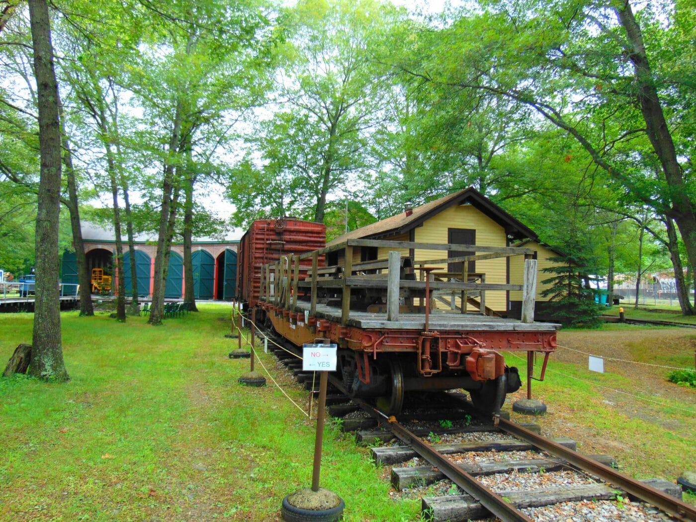
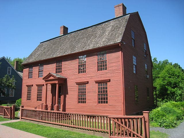
The Last Green Valley National Heritage Corridor was created in the 1980s to help stem the over the development of the land. Today the area includes sites such as the Edward Waldo House, Clara Barton Birthplace Museum, and the Connecticut Eastern Railroad Museum.
Things to do in The Last Green Valley National Heritage Corridor: Boating, camping, fishing, hunting, wildlife viewing
How to get to The Last Green Valley National Heritage Corridor: There are no roads to Alagnak Wild River. Alagnak Wild River can only be reached via air taxi. Please check the list of authorized air taxis.
Where to Stay in AThe Last Green Valley National Heritage Corridor: There only lodging in Alagnak is Alaska Trophy Adventure Lodge and Alagnak Wilderness Camps. There are several other wilderness lodges in the surrounding area. Lodging is available in King Salmon.
The Last Green Valley National Heritage Corridor Entrance Fee: Free
The Last Green Valley National Heritage Corridor Official Website: Click Here
Map of The Last Green Valley National Heritage Corridor: Download
Washington-Rochambeau National Historic Trail
Washington-Rochambeau National Historic Trail is a 680-mile long Historical Trail. The trail is sometimes known as the Washington–Rochambeau Revolutionary Route. The route follows the road used by George Washington’s Continental Army and Jean-Baptiste de Rochambeau’s Expédition Particulière took on their way from Newport, Rode Island to Yorktown, Virginia. Yorktown was the final battle of the American Revolutionary War.
Washington-Rochambeau National Historic Trail is primary an auto trail. While the route forces on the march to Yorktown, the trail passes thru or near many other important revolutionary war sites. Rhode Island sites include the Joy Homestead.
Washington-Rochambeau National Historic Trail passes through Connecticut, Rhode Island, Massachusetts, New York, New Jersey, Pennsylvania, Maryland, Delaware, Washington D.C, and Virginia.
Things to do in Washington-Rochambeau National Historic Trail: Auto touring, bicycling, walking, historical tours, guided tours, museums
How to get to Washington-Rochambeau National Historic Trail: There are major airports all along the route.
Where to Stay in Washington-Rochambeau National Historic Trail: The trail follows major highways and lodging is located along the route.
Washington-Rochambeau National Historic Trail Entrance Fee: Free, but some of the federal, state, and privately managed buildings along the trail may have an entrance fee.
Washington-Rochambeau National Historic Trail Official Website: Click Here
Map of Washington-Rochambeau National Historic Trail: Download
View all the National Park Service Sites in neighboring states:
- National Parks of New York
- Connecticut National Parks – Connecticut has 2 NPS units.
- New Hampshire National Parks – New Hampshire has 2 other units.
- National Parks of Rhode Island
- Vermont National Parks – Vermont has 2 other units.
