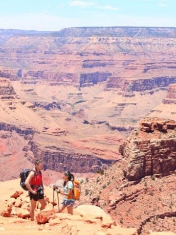
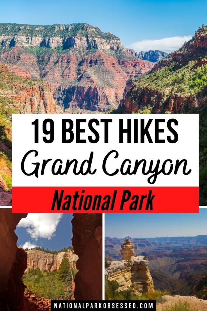
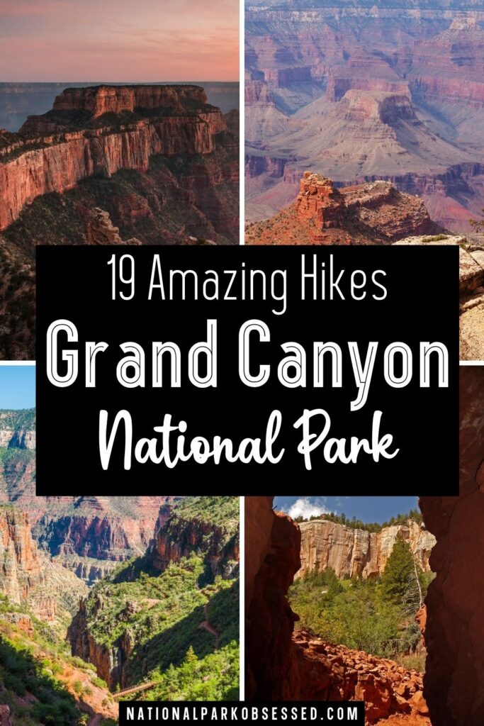
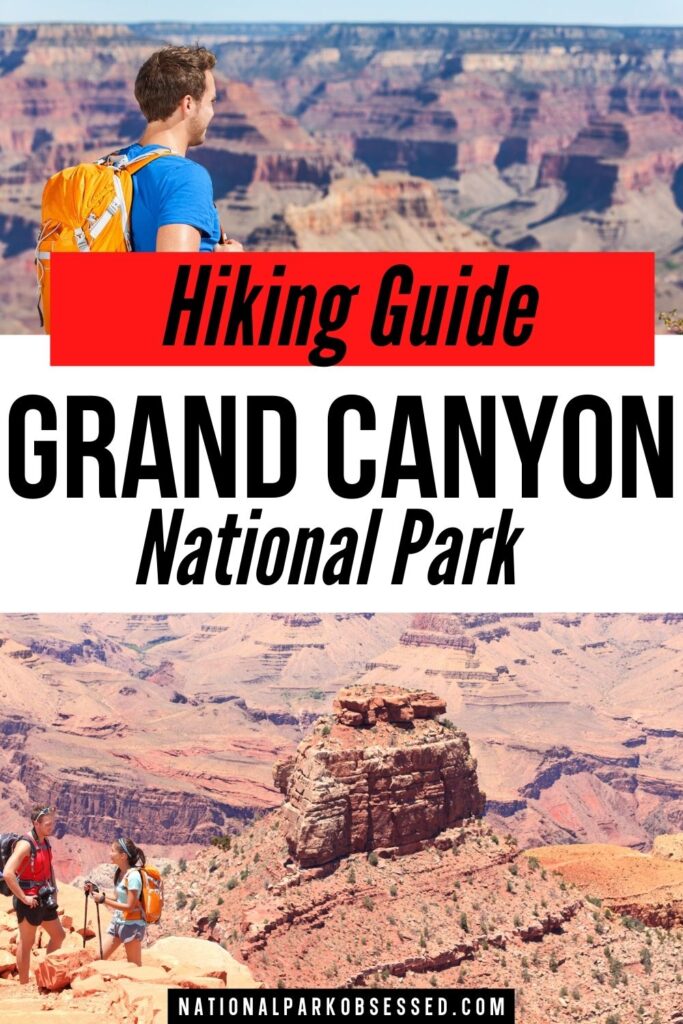
Post Summary: Best Grand Canyon Hikes
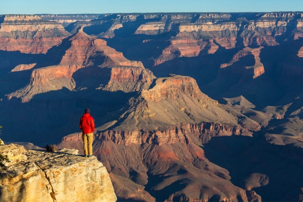
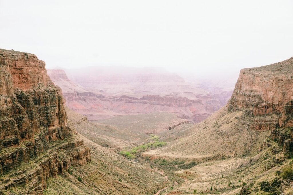
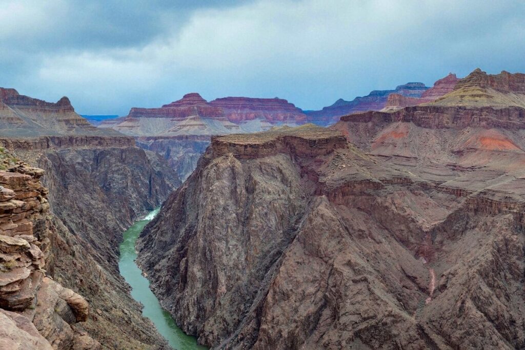
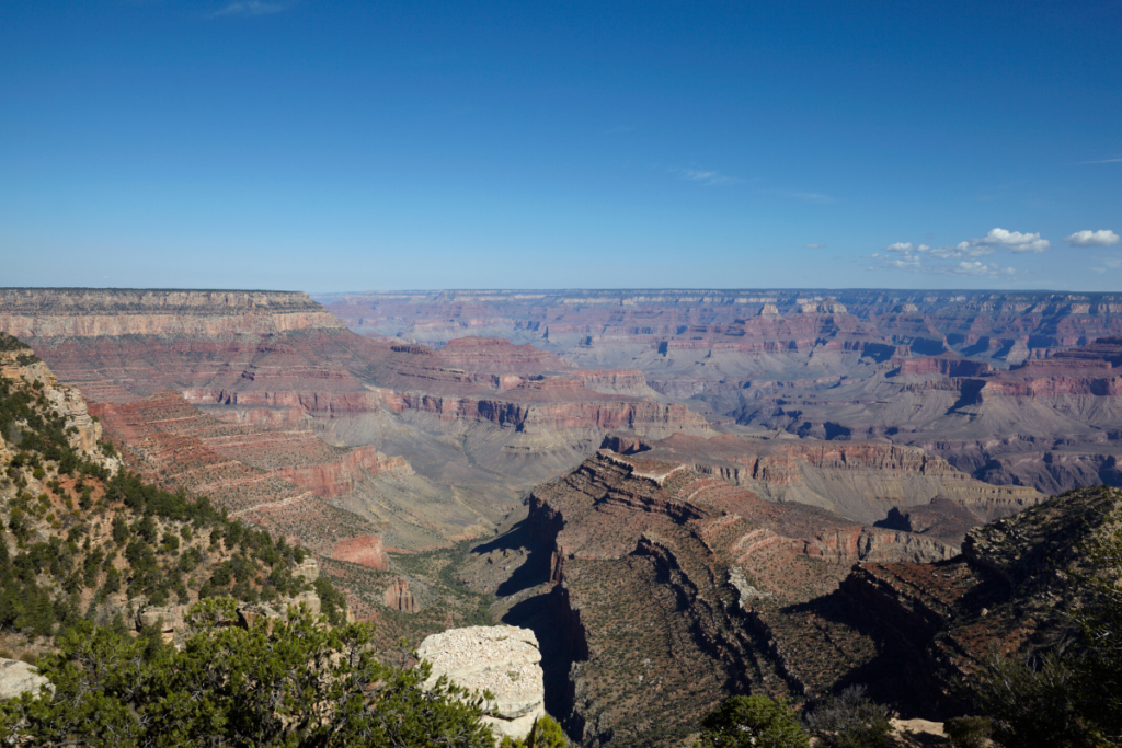
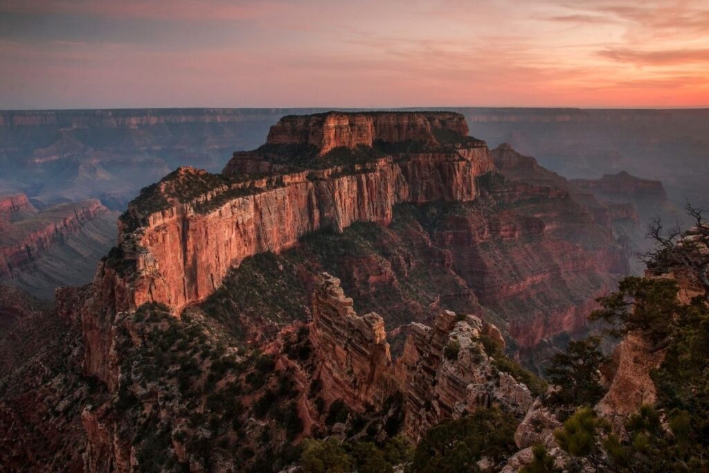
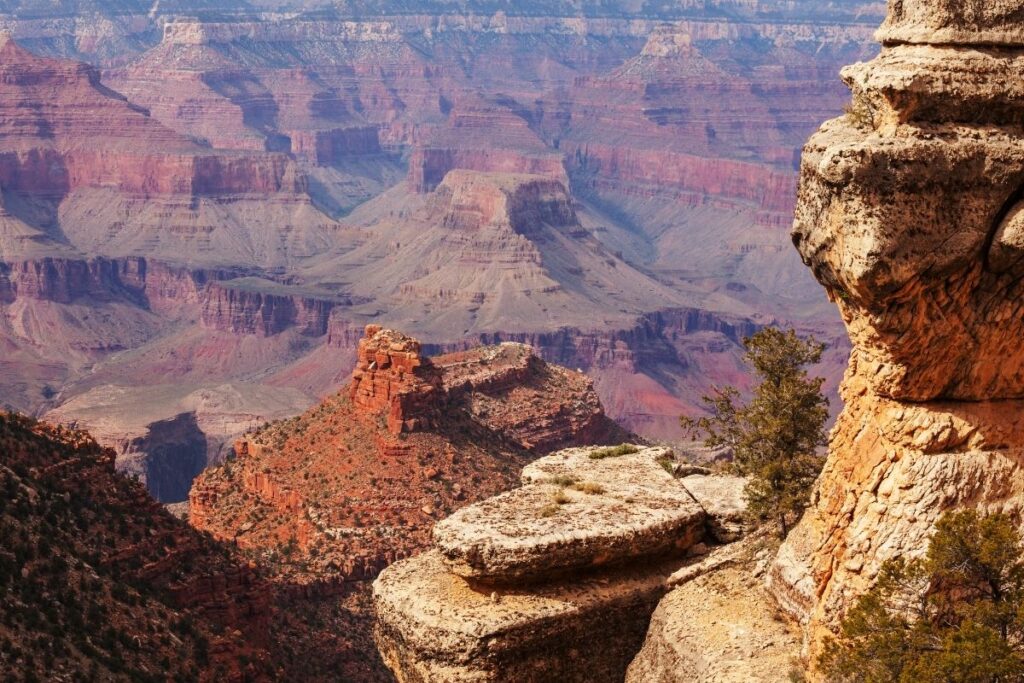
The Grand Canyon is one of the most famous places in the United States and is a popular attraction for tourists all across the world. Located in Arizona, the Grand Canyon National Park covers an area of 1,904 square miles (4,931 km2). Of course, its most popular site is the Grand Canyon itself which was listed as a UNESCO World Heritage Site in 1979. The canyon is a mile deep (1.6km), 277 miles (446km) long, and an impressive 18 miles (29km) wide, so as you can imagine is a sight to see. However, the National Park also offers plenty of hiking trails that will leave you with breathtaking views and memories to last a lifetime.
This post is going to go through the 19 best hikes in Grand Canyon National Park, and why they need to be on your list during your visit. Whether you are an advanced hiker or a beginner, this National Park has plenty of trails to suit all fitness levels. Some of the trails can be done within a day’s visit to the park, whilst some require an overnight stay and camping permits. Depending on how much time you have to explore the National Park and your fitness level, you can weigh up the hikes in this article and decide which ones are for you!
Please note that this article focuses on hikes inside Grand Canyon National Park. This does NOT include Havasu Falls which is located outside the park on the Havasupai Indian Reservation.
This post may contain affiliate links, meaning if you book or buy something through one of these links, I may earn a small commission at no extra cost to you! Read the full disclosure policy here
Quick Guide to Best Grand Canyon Hikes
| Trail Name | Region | Difficulty | Distance | Elevation |
| 1.5 Mile Rest House | South Rim | Strenuous | 3 miles | 1,185 ft |
| 3 Mile Rest House | South Rim | Strenuous | 6 miles | 2,112 ft |
| Indian Garden | South Rim | Strenuous | 4.5 miles one way | 3,040 ft |
| Plateau Point | South Rim | Strenuous | 13 miles | 3,402 ft |
| Grandview Trail | South Rim | Strenuous | 12.5 miles | 3,937 ft |
| Hermit Trail | South Rim | Strenuous | 17.5 miles | 5,059 ft |
| South Kaibab and Bright Angel Via Tonto Trail | South Rim | Strenuous | 13.3 miles | 3,458 ft |
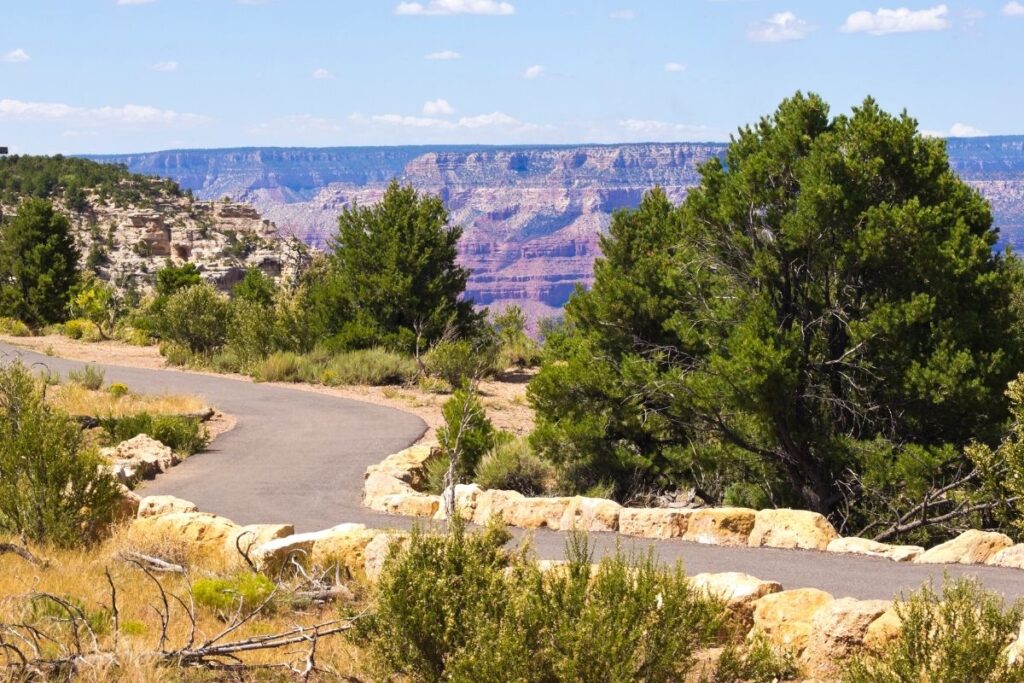
| Rim Trail | South Rim | Easy | 12.6 miles | 584 ft |
| Shoshone Point | South Rim | Easy | 2.1 miles | 154 ft |
| Bright Angel Point Trail | North Rim | Strenuous | 0.8 mile | 144 ft |
| Coconino Overlook | North Rim | Strenuous | 1.3 miles | 469 ft |
| Supai Tunnel | North Rim | Strenuous | 3.7 miles | 1,397 ft |
| Roaring Spring | North Rim | Strenuous | 10.9 miles | 3,517 ft |
| Transept Trail | North Rim | Moderate | 2.9 miles | 282 ft |
| Widforss Trail | North Rim | Moderate | 9 miles | 1,036 ft |
| Cape Final Trail | North Rim | Easy | 3.9 miles | 495 ft |
| Cape Royal Trail | North Rim | Easy | 0.9 mile | 65 ft |
| Cliff Spring Trail | North Rim | Easy | 1.1 miles | 308 ft |
| Point Imperial Trail | North Rim | Easy | 0.1 mile | 0 ft |
Things to Know about Hiking in Grand Canyon National Park
- Make sure to bring plenty of food and snacks with you during your hikes. Salty snacks are a good choice as they replace electrolytes that your body loses as it sweats. Some of the trails are incredibly strenuous and will take a lot of exertion, so make sure you eat more than you normally would and more often.
- Drinking plenty of water when hiking in Grand Canyon National Park is one of the most important things to do. Make sure to drink small amounts of water often, even if you don’t feel thirsty. Some trails within the National Park have refill stations, but most do not. It’s important to work out how much water to carry along with you, and if there are any springs or creeks where you can refill – however, make sure you purify or filter the water if you are refilling this way. You can also choose to add electrolyte powder to your water to compensate for sweating.
- Sunblock is a must whilst trekking through the National Park even if you have layers on, or don’t tend to burn usually. On a sunny day, the heat here can reach up to 100° F (38° C) and the sun is scorching. The last thing you want to end up with is heatstroke.
- There is plenty of wildlife here that you would choose to avoid. Scorpions, venomous insects and rattlesnakes are found along the trails so be mindful of where you are standing. Mountain lions, bison and elk are also found within the park so make sure to give them a wide berth.
- Mules have right of way along the trails, so if you come across one step off the trail, and follow the directions of the mule wrangler.
What to pack for hiking in Grand Canyon?
When it comes to hiking in the Grand Canyon no matter what time of year you visit, it’s so important to pack the right clothing. Depending on the season and which area you are visiting be prepared for temperatures ranging from 30° to 100° F (-1° to 38° C).
There are different areas to visit within the Grand Canyon, and the temperature will range depending on where you are hiking, and the altitude you are at. For this reason, the most important thing to remember is to layer up your clothing. This way you can drop layers if you are getting too warm as you head down in altitude. It is always best to dress this way, rather than start out with too few layers and find yourself inadequately dressed for the climate, once you reach a higher altitude.
Moisture-wicking t-shirts are a great underlayer to have whilst trekking the Grand Canyon, with a fleece vest or thermal worn over the top. It’s also important to have a waterproof lightweight jacket in case the weather takes a turn. Layering up with shorts, and waterproof trousers over the top is another way to combat the quick temperature changes. If you know you’re sensitive to temperature drops, it may also be a good idea to pack a beanie.
When it comes to footwear, make sure you have appropriate and sturdy shoes. The terrain can be rugged underfoot, so it’s important to have footwear of great quality. Hiking boots or trail runners are both popular options, but make sure they are properly broken in before you head out onto the trails. Wearing wool socks is also beneficial whilst hiking as they are soft and thermal.
Best Hikes in Grand Canyon National Park – South Rim
Strenuous South Rim Hikes
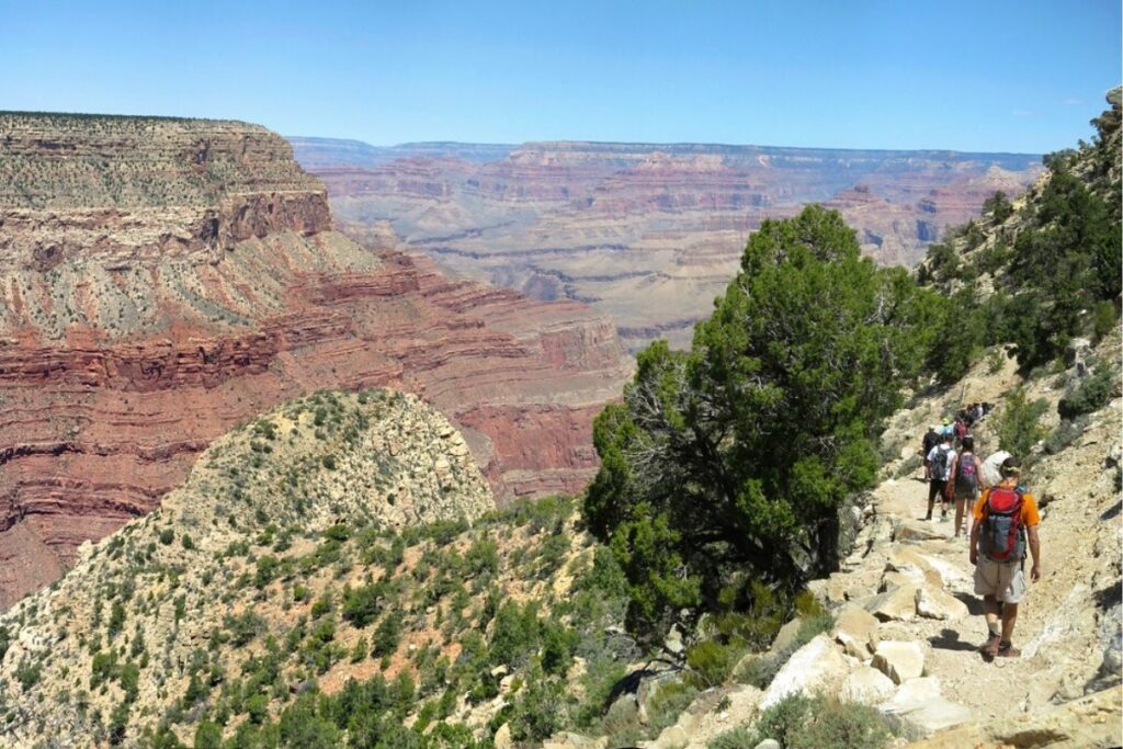
Bright Angel Trail from the South Rim
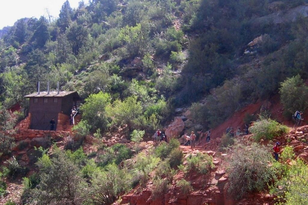
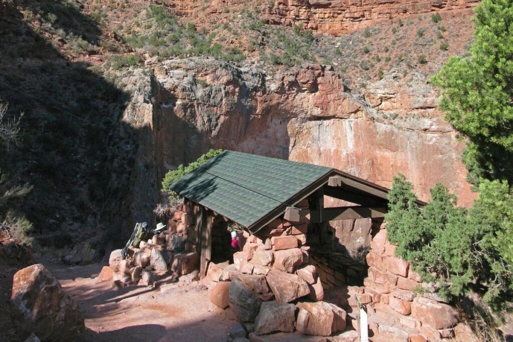
The Bright Angel Trail is the most popular trail in Grand Canyon National Park. It offers plenty of stunning views, as well as convenient amenities along the way including water refill stops and toilets. Along the trail, there are various destinations you can reach meaning the hike can be shortened or lengthened depending on your time and fitness level.
1.5 Mile Rest House
- Distance: 1.5 miles / 2.4 km one way (3 miles / 4.8 km round trip)
- Elevation Gain: 1,185 feet (361 m)
- Estimated Time: 2-4 hours
- Type of Trail: out and back
- Trailhead Location: Bright Angel Lodge
- Map: All Trails
The 1.5 Mile Rest House is a hike that runs along the Bright Angel Trail and is the shortest alternative trail. If you aren’t a big hiker, have just started out, or don’t have much time then this trail is perfect. It is well maintained and heads down into the Grand Canyon to give you spectacular views. However, the journey back up is quite steep so be prepared as this is the hardest part of the hike. Once you reach the resthouse you can stop and then turn back or you can continue along the trail until you reach the 3 Mile Rest House.
3 Mile Rest House
- Distance: 3 miles / 4.85 km one way (6 miles / 9.7 km round trip)
- Elevation Gain: 2,112 feet (644 m)
- Estimated Time: 4-6 hours
- Type of Trail: out and back
- Trailhead Location: Bright Angel Lodge
- Map: All Trails
3 Mile Rest House is one of the most popular hikes in Grand Canyon National Park as it offers beautiful views throughout. The trail is one of several Bright Angel Trail hikes and can be shortened or lengthened depending on your preference. The best way to start this hike is to head to Bright Angel Lodge and then head west to the Bright Angel Trailhead. This trail includes plenty of steep switchbacks and gives you a 360° view of the Grand Canyon. Once you reach the end of the trail you can choose to continue on the Bright Angel Trail for as long as you like, or you can simply head back.
Indian Garden
- Distance: 4.5 miles / 7.2km one way
- Elevation Gain: 3,040 feet (925 m)
- Estimated Time: 6-9 hours
- Type of Trail: point to point
- Trailhead Location: Bright Angel Lodge
- Map: All Trails
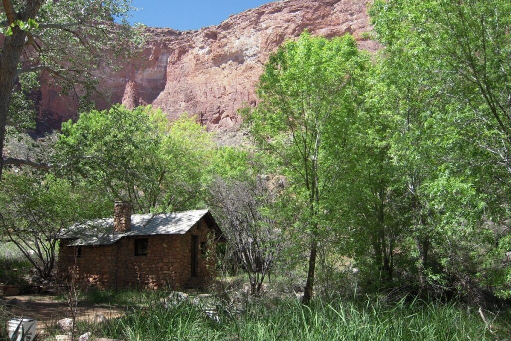
If you continue to head along the Bright Angel Trail you will eventually reach the Indian Garden Campground. This is where many people camp and then head onward to Plateau Point the next morning. The trail to Indian Garden passes both rest houses meaning there are places to stop and refill your water along the way. The hike drops you further into the Grand Canyon offering incredible views, and the trail along the way is well maintained. However, with a return feat of climbing over 3,000 feet on the way back out, this is no easy trail and hikers must be prepared.
Plateau Point
- Distance: 6.5 miles / 10.9km one way (13 miles / 21.4km round trip)
- Elevation Gain: 3,402 feet (1,037 m)
- Estimated Time: 9-12 hours
- Type of Trail: out and back
- Trailhead Location: Bright Angel Lodge
- Map: All Trails
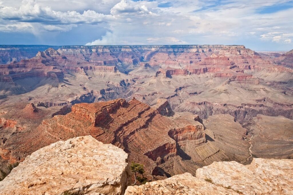
Hiking to Plateau Point from the trailhead is not recommended as a day trip due to the length of the hike, blistering heat, and the increase in elevation change. Doing this trail in one day is only for the most experienced hikers and even then you should check in with a ranger first. This is why many people camp at Indian Garden and then continue onward the next day. Although the trail offers outstanding views of the canyon, once you reach Plateau Point you will truly be struck with the beauty of this spot. You will get to look down into the canyon and see the Colorado River located around 1300 feet below. The trail to Plateau Point is well maintained, but as you head further into the canyon the temperatures increase, and the elevation change makes the hike much more difficult.
Grandview Trail
- Distance: 12.5 miles / 20.1 km round trip
- Elevation Gain: 3,937 feet (1,200 m)
- Estimated Time: 6-9 hours
- Type of Trail: loop
- Trailhead Location: Grandview Point
- Map: All Trails
**Every website seems to say a different distance for this trail, but I’ve gone with All trails as the map is attached**
The Grandview Trail is recommended for experienced hikers only, as the trail is rugged, narrow, and very steep. There is a large drop-off to the side of the trail, and conditions are intense so don’t attempt this trail if you don’t have a lot of hiking experience. The trail heads down to the right of the Grandview Point Overlook with a steep gradient. Some of the old trail has been eroded over time along this part so it’s important to be vigilant. As you continue along the trail you will be rewarded with dramatic views of the canyon and the surrounding landscape. The Coconino saddle and Horshoe Mesa are also located along the Grandview Trail. With plenty of steep switchbacks, increases in gradient and high elevation this hike isn’t for the faint-hearted.
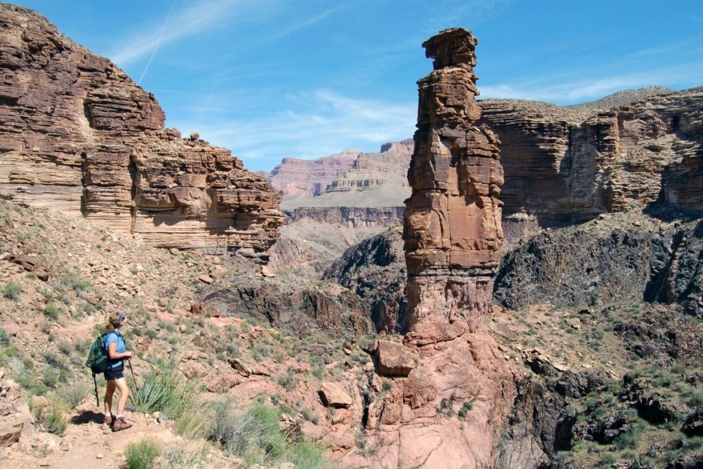
Hermit Trail
- Distance: 8.75 miles / 14.1 km one way (17.5 miles / 28.2 km round trip)
- Elevation Gain: 5,059 feet (1542 m)
- Estimated Time: N/A – often a 2 day hike
- Type of Trail: out and back
- Trailhead Location: Hermits Rest
- Map: All Trails
Due to the length of this trail and the conditions, it isn’t recommended to hike the Hermit Trail in a day. The trail is also only recommended for experienced hikers only. The Hermit Trail is pretty steep and drops almost 2000 feet in the first 2.5 miles, and then you will head along several switchbacks on this route. There are various stop-off points along this hike including the Waldron Basin, the Santa Maria Spring, Dripping Spring, and Breezy Point until eventually, the hike takes you down to the banks of the Colorado River.
South Kaibab and Bright Angel Via Tonto Trail
- Distance: 13.3 miles / 21.2 km
- Elevation Gain: 3458 feet (1,054 m)
- Estimated Time: 9-11 hours
- Type of Trail: point to point
- Trailhead Location: Yaki Point
- Map: All Trails
If you are incredibly fit you can choose to do this trail in one day, however, most people choose to complete the hike over two days and take their time. It’s also recommended to do the hike this way, as people have had to be rescued previously due to exaggerating their fitness levels. Heading along the South Kaibab and Bright Angel via Tonto Trail gives you the best of all worlds. The hike takes you from the rim of the canyon down to the Colorado River, and then you head back up the canyon along the Bright Angel Trail. There are campgrounds along the way to break up the trail, and you will be rewarded with the most incredible views during this hike.
Easy South Rim Hikes
Rim Trail
- Distance: 12.6 miles / 20.4 km
- Elevation Gain: 584 feet (178 m)
- Estimated Time: 5-6 hours
- Type of Trail: point to point
- Trailhead Location: Yaki Point
- Map: All Trails
The Rim Trail is one of the easiest and most popular walks within Grand Canyon National Park. As the name suggests the trail runs right along the rim of the canyon offering incredible views down to the Colorado River. Many of the overlooks along the trail offer unrestricted views to the other side of the canyon, making this the perfect hike to bring your camera. There are plenty of popular stop-off points along the way including Hopi Point, Mohave Point, and Pima Point. However, the trail is long so most people choose to do it over two days or they simply walk part of it and get the shuttle back.
Shoshone Point
- Distance: 1 mile / 1.7 km one way (2.1 miles / 3.4 km round trip)
- Elevation Gain: 154 feet (47 m)
- Estimated Time: 1-2 hours
- Type of Trail: out and back
- Trailhead Location: First parking lot on the left after Yaki Point Road
- Map: All Trails
Shoshone Point is another easy trail within the National Park and is popular with families. The trail starts in a Ponderosa pine forest and then heads out onto a picnic area. When you continue further along you will come to Shoshone Point which offers spectacular views of the canyon. The trail is well maintained and hiking gear isn’t a necessity although it does make the hike more pleasant. If you are looking for an easy hike with the family, but still want an epic view of the canyon that hiking to Shoshone point is the trail for you. The trailhead parking lot is unmarked but if you are traveling from the visitor center, look out for the first parking lot on the left after Yaki Point Road.
Best Hikes in Grand Canyon National Park – North Rim
Strenuous North Rim Hikes
Bright Angel Point Trail
- Distance: 0.4 miles / 0.7 km one way (0.8 miles / 1.4 km round trip)
- Elevation Gain: 144 feet (44 m)
- Estimated Time: 30 minutes
- Type of Trail: out and back
- Trailhead Location: Grand Canyon Visitor Center
- Map: All Trails
The Bright Angel Point Trail begins on the bridle trail behind the visitor center. It is only a short hike so is a great choice for beginner hikers. However, there are steep drop-offs to the side of the trail so be very cautious. Although only a small distance, parts of the trail are surprisingly steep so a good level of fitness is required. If you are short of time but still looking for great views of the canyon, then hiking the Bright Angel Point Trail is for you.
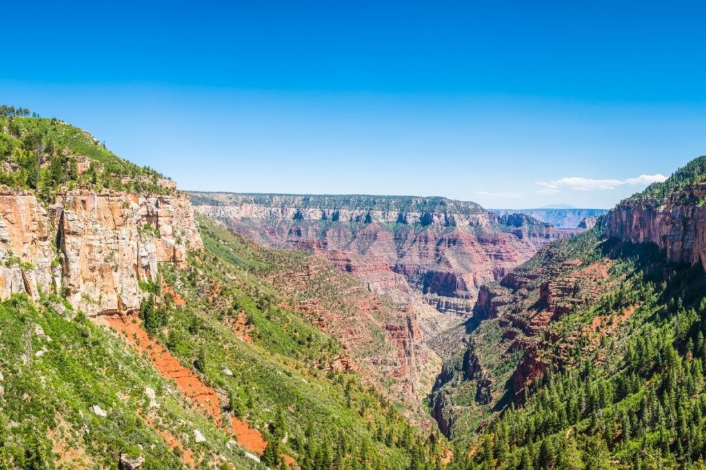
North Kaibab Trail
The North Kaibab trail itself is over 14 miles long and runs from the rim of the canyon down to the Colorado River. It is the only maintained trail on the North Rim that descends into the Grand Canyon. Due to its length, the trail is a multi-day hiking trip and does require different permits. However, there are plenty of choices if you are looking to do a shorter hike along this trail. Some of the most popular shorter hikes include Coconino Overlook, Supai Tunnel, and Roaring Spring.
Coconino Overlook
- Distance: 0.65 miles / 1 km one way (1.3 miles / 2.1 km round trip)
- Elevation Gain: 469 feet (143 m)
- Estimated Time: ??
- Type of Trail: out and back
- Trailhead Location: ??
- Map: All Trails
The Coconino Overlook is the shortest route along the North Kaibab Trail, making this trail quite popular with families. The route is named after the Coconino sandstone that is found at the end of this trail. The viewpoint is made of this sandstone, but that’s not the most special part about this hike. Once you reach the viewpoint you will be rewarded with an incredible overlook of the canyon. If you are lucky you might even spot the bright blue Steller’s Jay which call this area their home. If you want a longer hike, you can continue along the trail to Supai Tunnel.
Supai Tunnel
- Distance: 1.85 miles / 3 km one way (3.7 miles / 6 km round trip)
- Elevation Gain: 1397 feet (426 m)
- Estimated Time: 4-5 hours
- Type of Trail: out and back
- Trailhead Location: ??
- Map: All Trails
The Supai Tunnel Trail is a longer hike along the North Kaibab Trail and goes past the Coconino Overlook. There is a toilet and seasonal water located at Supai Tunnel, although the water is usually only available between May and October. Whether you choose to head onwards along the trail or head back, this is the perfect spot to rest and refill your water. If you decide to continue along the trail, you will find that it heads towards the bottom of Roaring Springs Canyon.
Roaring Spring
- Distance: 5.45 miles / 8.85 km one way (10.9 miles / 17.7 km round trip)
- Elevation Gain: 3517 feet (1072 m)
- Estimated Time: 7-8 hours
- Type of Trail: out and back
- Trailhead Location: ??
- Map: All Trails
If you continue onward from Supai Tunnel, you will find that the trail goes through a series of switchbacks down a steep gulley. From there you will head along the trail until you reach a picnic area near the creek. The views along this trail are beautiful, with the water of Roaring Spring crashing down the side of the canyon. Once witnessing Roaring Spring, you will have to head back along the way you came. The trail back up the canyon is ruthless with an elevation of over 3,000 feet, meaning excellent fitness levels are required for this hike.
Moderate Hikes in Noth Rim Grand Canyon
Transept Trail
- Distance: 1.45 miles / 2. 35 km one way (2.9 miles /4.7 km round trip)
- Elevation Gain: 282 feet (86 m)
- Estimated Time: 1.5-2 hours
- Type of Trail: out and back
- Trailhead Location: Grand Canyon North Ridge Lodge
- Map: All Trails
Transept Trail starts from the Grand Canyon Lodge and heads down to the North Rim Campground. The trail is well maintained and follows along the rim of a side canyon before taking you through forestry. It also passes by an ancestral Puebloan ruin about halfway to the campsite, which is an interesting sight to see. Although this hike doesn’t boast incredible views of the canyon, like some of the others, it is a relaxing and short trail. If you’re lucky you might even get to spot some of the wildlife that inhabits this area including mule deer.
Widforss Trail
- Distance: 4.5 miles / 7.3 km one way (9 miles / 14.6 km round trip)
- Elevation Gain: 1036 feet (316 m)
- Estimated Time: 6-7 hours
- Type of Trail: out and back
- Trailhead Location: Widforss Trail parking area
- Map: All Trails
The Widforss trail gives hikers the best of both worlds as it weaves through picturesque forests and along the rim of the canyon. This makes it one of the best hikes in the Grand Canyon National Park as it offers beautiful scenery, a picnic area, and the opportunity to see wildlife throughout the hike. Whilst trekking through the forest you might even get to spot deer, coyotes, and the endemic Kaibab Squirrel. If you want a longer, more strenuous hike then you can carry on along the trail until you reach Widforss Point. However, the hike to Widforss Point takes around 10 miles so isn’t one for beginners.
Easy North Rim Hikes
Cape Final Trail
- Distance: 1.95 miles / 3.2 km one way (3.9 miles / 6.4 km round trip)
- Elevation Gain: 495 feet (151 m)
- Estimated Time: 2-3 hours
- Type of Trail: out and back
- Trailhead Location: dirt parking lot found about 2 miles north of the Cape Royal parking lot.
- Map: All Trails
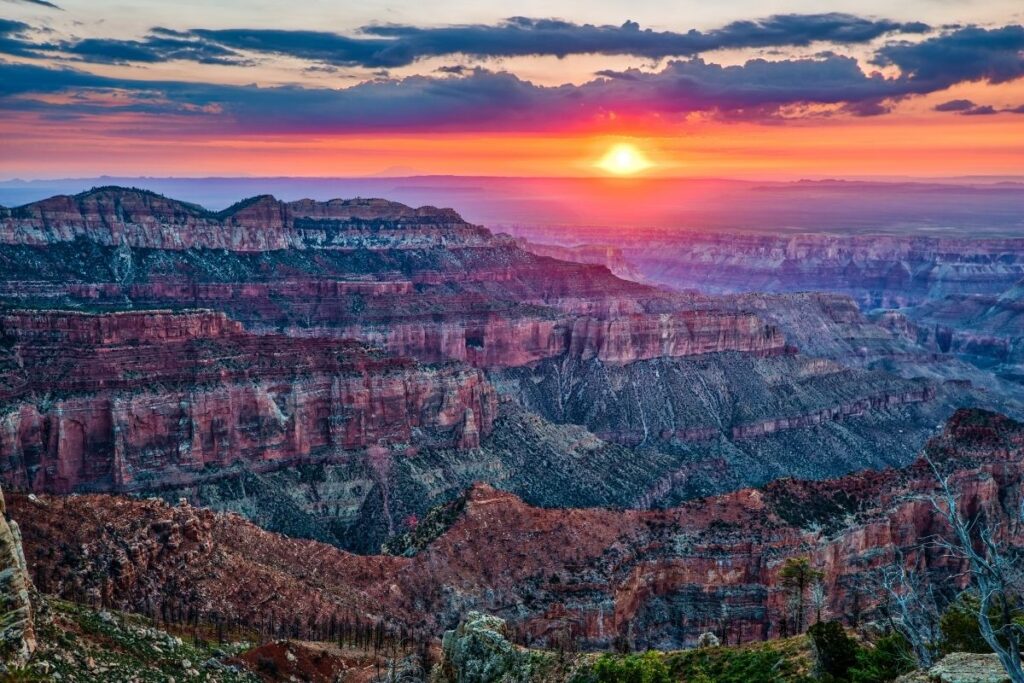
The Cape Final Trail is one of the easiest hikes along the North Rim and offers one of the most beautiful views. The first half of the trail weaves through forestry, but views of the Grand Canyon start to peak through at around the halfway point. At the end of the trail is Cape Final – one of the most spectacular viewpoints in the area. If you don’t have much time in the National Park, then the Cape Final Trail is one of the best choices. Not only is it a great hike, but it is also a beautiful sunset spot.
Cape Royal Trail
- Distance: 0.45 mile / 0.8 km one way (0.9 mile / 1.6 km round trip)
- Elevation Gain: 65 feet (20 m)
- Estimated Time: 30 minutes
- Type of Trail: out and back
- Trailhead Location: Cape Royal Parking Area
- Map: All Trails
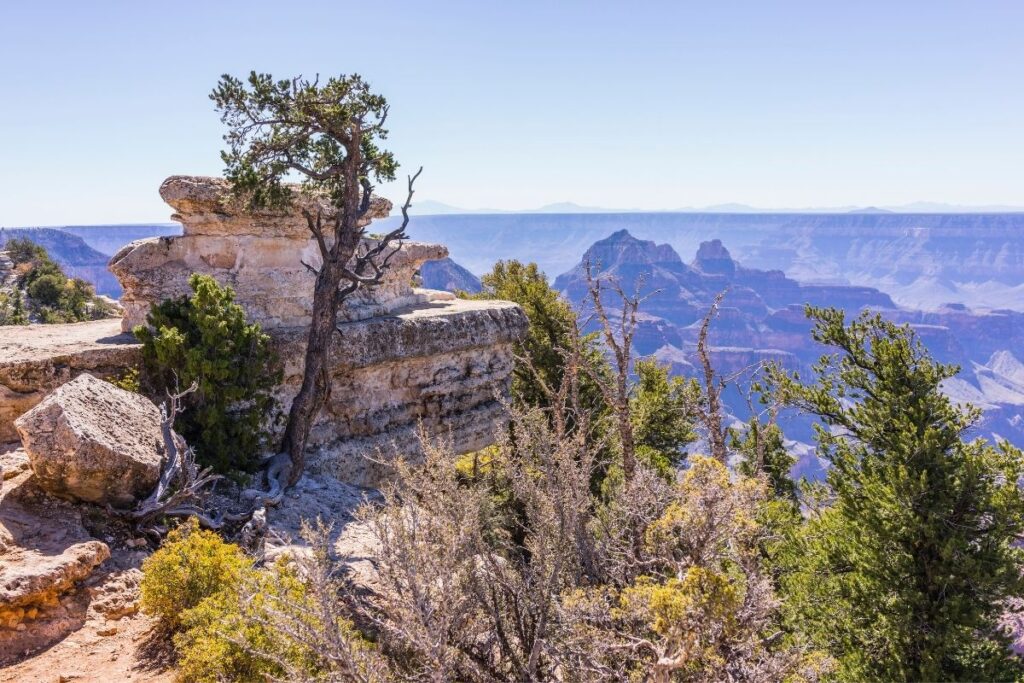
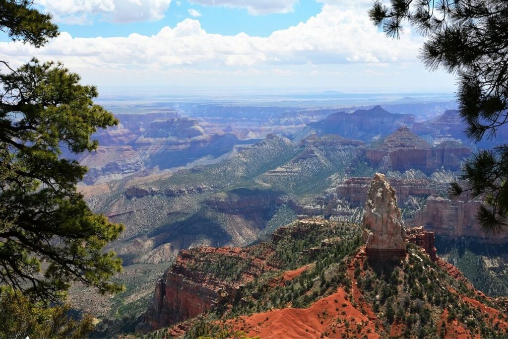
The Cape Royal Trail is another easy hike in the National Park. The path is paved, and flat so is the perfect hike for a beginner or families. The highlight of this hike is Cape Royal itself which is a peninsula extending from the North Rim out over the Grand Canyon. The views from here are breathtaking – not only do you get an incredible view of the canyon, but you also get to see Angel’s Window and the Colorado River. There are also markers along the trail which interpret the area’s natural history so make sure to keep an eye out for those.
Cliff Spring Trail
- Distance: 0.55 mile / 0.9 km one way (1.1 miles / 1.8 km round trip)
- Elevation Gain: 308 feet (94 m)
- Estimated Time: 1-2 hours
- Type of Trail: out and back
- Trailhead Location: A pullout on Cape Royal Road
- Map: All Trails
The trailhead for Cliff Spring Trail isn’t very clear, but it can be accessed from a pullout that is located on the left side of the road about 0.3 miles from Cape Royal. Once there, the trail heads down into a ravine and underneath rocky outcrops until it ends at the spring. Although a pretty site, make sure you don’t drink the water from the spring as it could be contaminated. When you start your hike back, make sure to allow more time on the way back up the trail as the path can get steep at times.
Point Imperial Trail
- Distance: 0.1 mile / 0.2 km
- Elevation Gain: N/A
- Estimated Time: 30 minutes
- Type of Trail: out and back
- Trailhead Location: Point Imperial Overlook car park
- Map: All Trails
The Point Imperial Trail is probably the shortest trail within Grand Canyon National Park. However, it takes you to the highest point in the National Park at 8,803 feet (2,683 m) which is near the most northern boundary of the park. From this point, you will get the most incredible views of the Painted Desert and the Grand Canyon, and for the least exertion. This is also another great trail to do if you don’t have much time, or your fitness levels aren’t yet up to scratch to tackle the more strenuous hikes.
Frequently Asked Questions about Grand Canyon Trails?
What is the best hike in Grand Canyon?
When it comes to the best hike in the Grand Canyon, it’s a difficult decision. Some of the best and most popular trails in the park include the South Kaibab Trail, the Grandview Trail, and the Bright Angel Trail. Each trail offers something unique to hikers.
However, it is often the Bright Angel Trail that steals the spotlight. The views along the trail are spectacular and there are two rest stops with a toilet and water. You can also head back along this trail at any point making it a big hit with families. As you head past the rest stops and up to Plateau Point you will see for yourself why this is possibly the best hike in Grand Canyon. The view from Plateau Point is one of the most dramatic views throughout the whole National Park and one you will remember for a lifetime. The viewpoint is located 1500 feet directly above the canyon, letting you gaze right down to the Colorado River and the Inner Canyon. If you want to head right down to Plateau Point from the trailhead, you are looking at a round trip hike of 12 miles so it isn’t for the faint-hearted.
What is the hardest hike in the Grand Canyon?
The South Kaibab and Bright Angel Trail is known to be dangerously difficult and is regarded as one of the hardest hikes in the Grand Canyon. The main reason is due to its location as it’s down in the center of the Grand Canyon which is also known as “the death zone”. The area gets this name because the temperatures here can reach 120° F (50°) at their most extreme. This can lead to heat stroke and exhaustion if you are not properly prepared. If you want to do this hike make sure you drink plenty of fluids and eat salty snacks to replace any electrolytes lost.
Two other hikes that are known to be notoriously difficult are ‘the Maze’ and the Nankoweap trail – both aren’t included in this list. That is because either the trail is unmaintained or is incredibly difficult to plan and tackle, meaning they are only for the most advanced hikers out there and often aren’t recommended. The Maze is known for its labyrinths of rock and dead ends making it incredibly difficult to navigate. Water supply along this trail is also very scarce, and temperatures soar in this area of the National Park. The Nankoweap Trail is 11 miles long, and there is no exposure to water along this hike. There are also plenty of deadly drops and cliff edges along the trail, making it very treacherous. These hikes aren’t included in the list for a reason and aren’t recommended for anyone other than an extremely experienced and talented hiker.
What should you not miss at the Grand Canyon?
This may be an obvious one but getting a good vantage point of the Grand Canyon is of course a must! Luckily there are endless trails located within the National Park for you to do this. Here are some of the trails/places that you shouldn’t miss during your visit:
- Bright Angel Point
- Angels Window and Cape Royal
- Point Imperial
- Widforss Trail
- Rim Trail
- Bright Angel Trail
- Grandview Point
- Coconino Overlook
- Roaring Springs
- Grand Canyon Visitor Center
What is the best month to hike the Grand Canyon?
The months of March, April, and May are known as the best times to hike within the Grand Canyon. This is known as the ‘shoulder season’. There are many different reasons why these months are the best time to hike within the Grand Canyon, but the main one is the lower daytime temperatures. This makes your hiking experience far more comfortable than if you were to visit in the scorching summer months. Precipitation levels are also lower at this time of year, and the crowds are much thinner during the shoulder season. That means fewer people to share the trails and views with! And as if you didn’t need another reason to visit during these months, it’s also Wildflower season which truly is a sight to behold.
However, there are some disadvantages to hiking in the Grand Canyon within these months. The weather gets very cold at night, so if you are camping you will have to take plenty of thermals. Also due to snowfall some of the areas at higher altitudes become inaccessible.
Can you hike to the bottom of the Grand Canyon and back in one day?
Have you ever run the Boston Marathon? Do you think you could finish the Boston Marathon in three hours and four minutes? Margaret Bradley could and she died of dehydration on a 27 mile run in the Grand Canyon. While Bradley wasn’t trying to run from the rim to the river in one day, she overestimated her hiking ability in the Grand Canyon and didn’t properly prepare for her hike. Sadly, Bradley lost her life and that is why people shouldn’t overestimate their abilities when it comes to fitness levels and capability.
It is never recommended to hike to the bottom of the Grand Canyon and back in one day. The heat, water scarcity, and harsh sunlight don’t make for good hiking conditions. You will put yourself at significant risk if you choose to attempt it.
How much does it cost to hike in the Grand Canyon?
The entrance fees to hike in the Grand Canyon vary, but all grant admission for 7 days. That includes trails in both the North and South Rim. If 7 days doesn’t sound enough, you can purchase an annual pass for $70. The different permits are as follows:
- Grand Canyon National Park Vehicle Permit – $35 (admits a single, non-commercial vehicle and all its passengers).
- Grand Canyon National Park Motorcycle Permit – $30 (admits a motorcycle and its passenger/passengers).
- Grand Canyon National Park Individual Permit – $20 (admits one individual entering by foot, bicycle, park shuttle bus, Grand Canyon Railway and private rafting trip.
If you time your visit right there will be 5 days in 2022 where it’s free admission so you won’t be charged to enter the National Park. These days are:
- January 17th – Martin Luther King, Jr. Day
- April 16th – The first day of National Park week
- August 4th – The anniversary of the Great American Outdoors Act
- September 24th – National Public Lands Day
- November 11th – Veterans Day
How fit do you need to be to hike the Grand Canyon?
Hiking in the Grand Canyon is not for the faint-hearted, and a good level of fitness is required. If you choose to do some of the easier hikes as a family day out, then you probably don’t need a high level of fitness. However, if you want to tackle some of the longer more strenuous trails it’s important to get some training in first.
During training, the most important part is to choose some hikes in your area that will get you acclimatized to elevation changes. If it’s possible choose trails that have an elevation gain of at least 1,000 feet or are located at a higher altitude. This will help prepare you when it comes to hiking in the Grand Canyon. Another big factor when it comes to hiking within the Grand Canyon National Park is the conditions. You will likely be hiking in very hot, dry conditions which can have detrimental effects on your body. If you can get used to hiking in warmer conditions and taking in plenty of fluids, this will make things a lot easier for you when it comes to the real deal. Other than that, the main aspects of your body to train are its endurance and strength.
Final Thoughts on Day Hiking in the Grand Canyon
We hope this article has encouraged you to visit the many trails that Grand Canyon National Park has to offer. This part of the United States offers views unlike anywhere else, and they aren’t to be missed. Which is your favorite hike in the Grand Canyon? If it isn’t on this list then please leave a comment below to inspire other hikers to follow in your footsteps! If you have a goal to visit all the National Parks in America or you simply just love the outdoors, why not join us in our National Park Trip Planning Community.
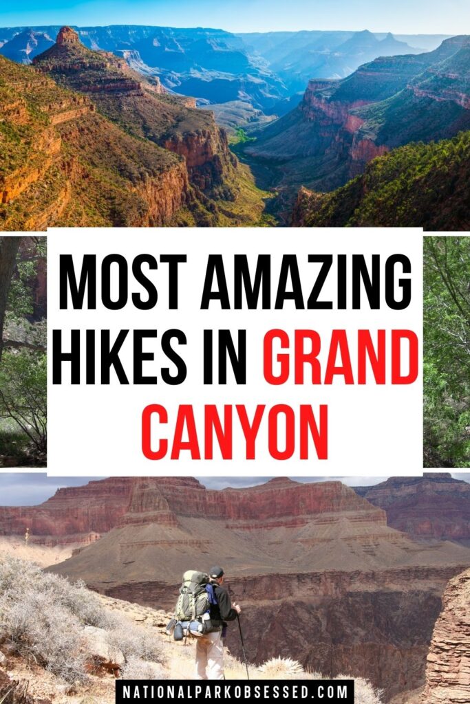
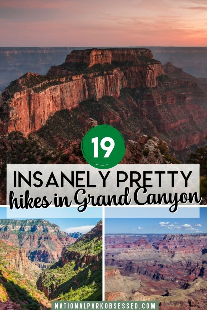
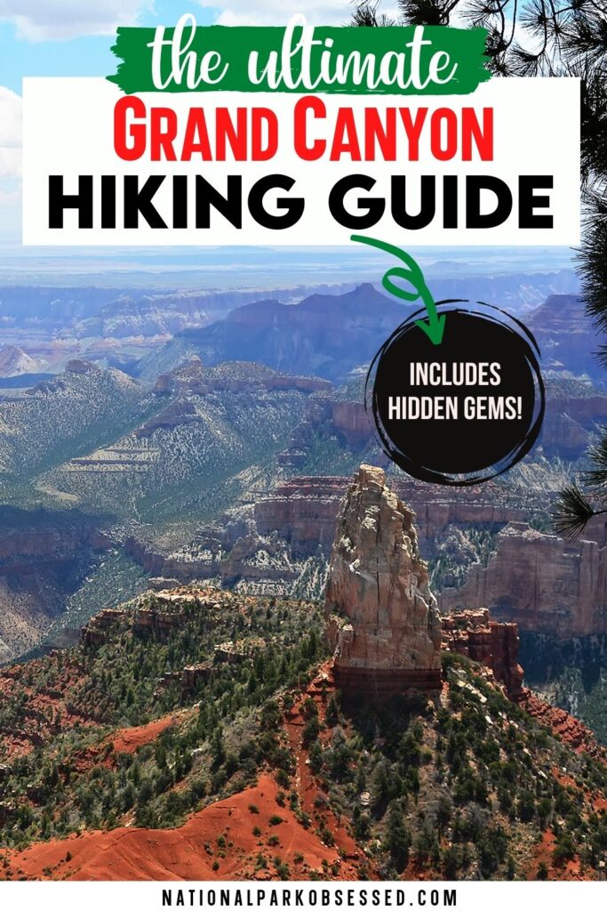
Pin for Later: The 19 ABSOLUTE Best Grand Canyon Hikes in 2022

Hi, I'm Jennifer!

Welcome to the wonderful world of National Parks. I'm here to help you plan your NEXT amazing adventure through the United States National Parks and beyond. I want the national parks to be accessible to all.
I live in Tennessee, and when I'm home, you can find me hiking in the Smokies and the Cumberland Plateau.
58/63 National Parks
250+/423 National Park Units
Want to know more? Start Here.
Snag one of my National Park Ebooks and Downloadable Itineraries

Talk with an Expert

Share your love of the parks with a shirt, ornaments, hoodies, frames, and more.
