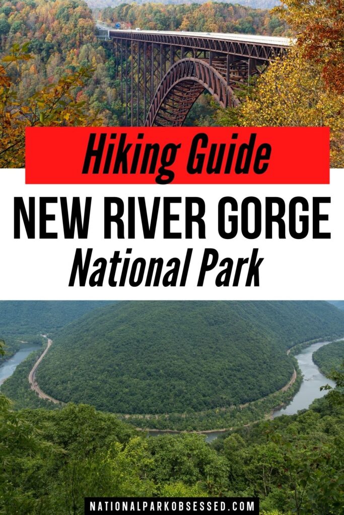
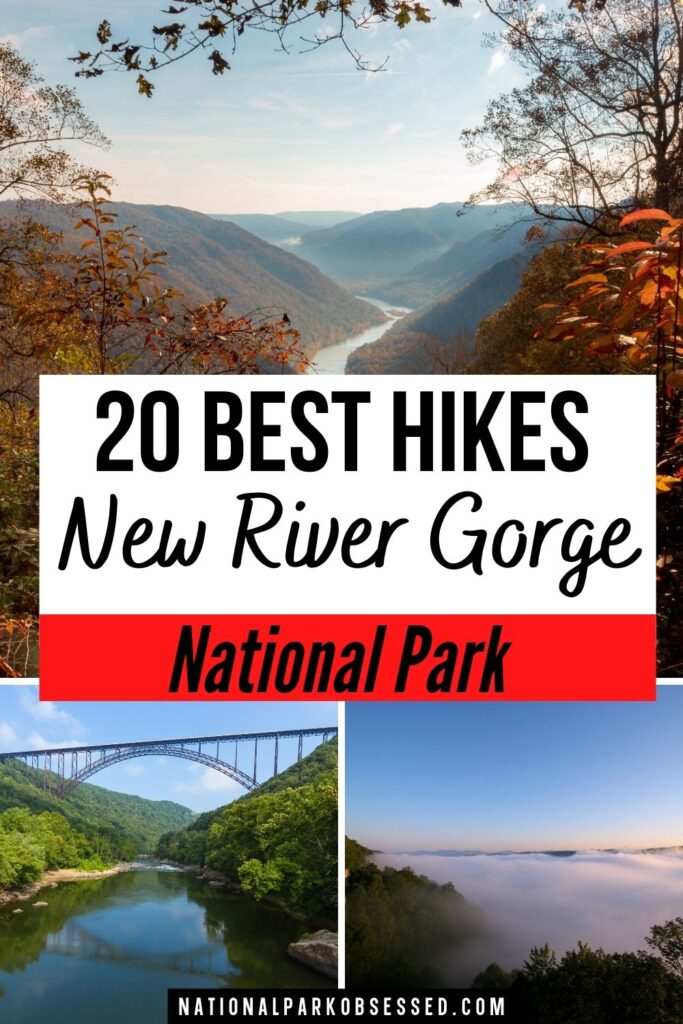
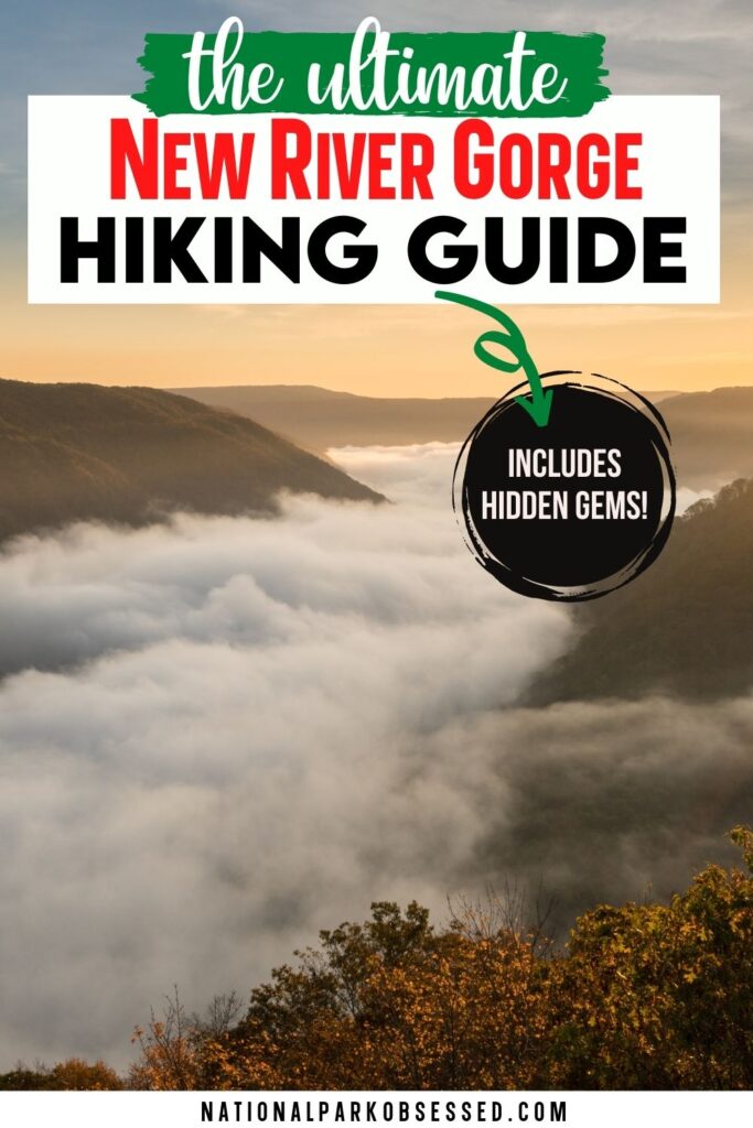
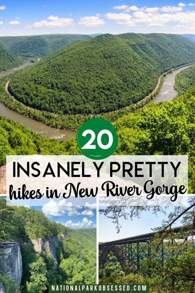
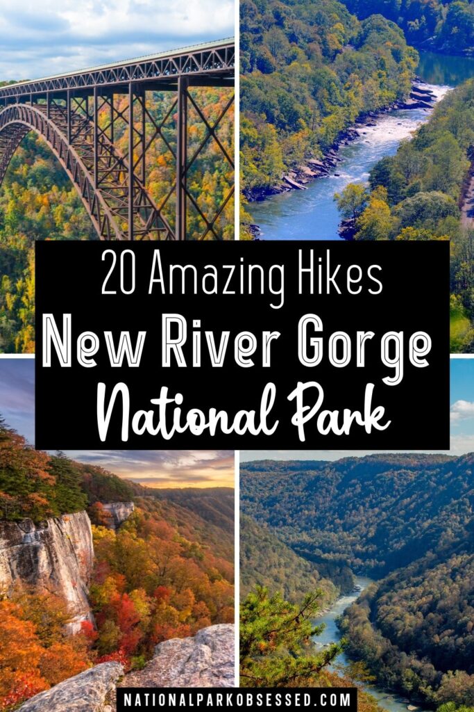
Post Summary: New River Gorge Hikes
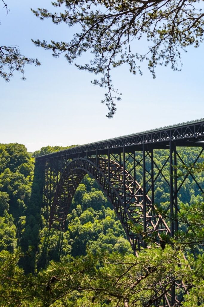
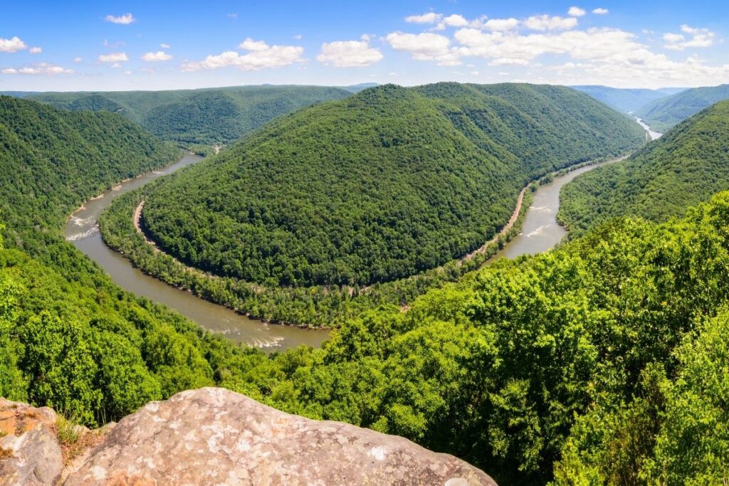
New River Gorge National Park is located within the Appalachian mountains in West Virginia. It’s the most recently declared national park and is home to one of the oldest rivers in the United States – The New River. Throughout the years, the river has sculpted the deepest and longest river gorge in the Appalachian Mountains which means the park is full of incredible scenery.
The New River has been protected as one of America’s four national rivers since 1978, but in 2020 the area was officially made a United States national park. That makes it the 63rd national park in America, and since that point, the area has become more popular with hikers and cyclists.
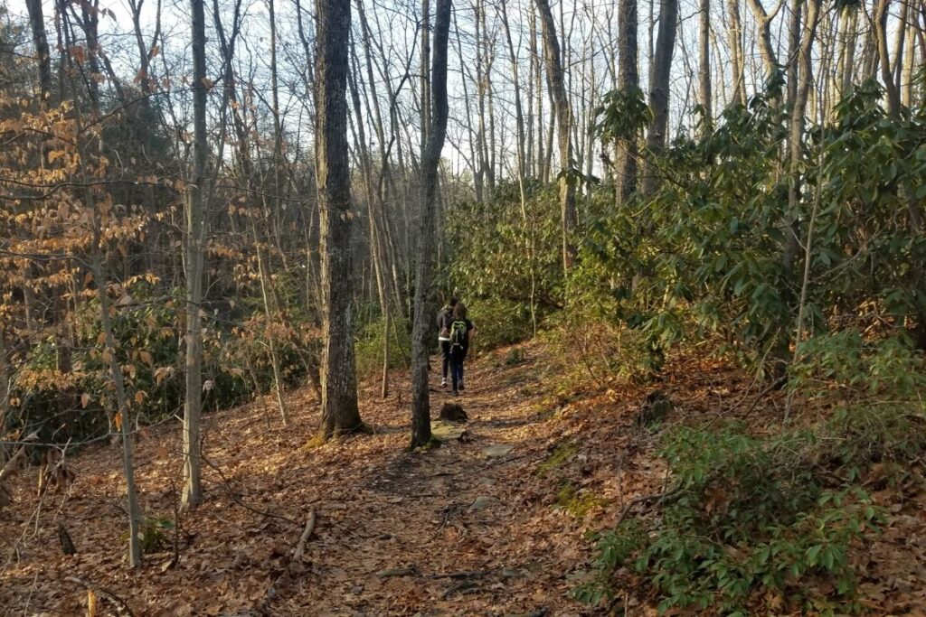
With the park covering over 70,000 acres, there are plenty of great trails for you to try out. This post is going to go through 20 of the best hikes in New River Gorge National Park. Whether you are an advanced hiker or a beginner who is looking for relatively easy hikes, this list has it all. We have sectioned the hikes into strenuous, moderate, and easy so you know which hikes you’re capable of, and which ones might be a bit too challenging for you… YET! Everyone varies in fitness level so it’s important not to overdo things and just enjoy the sights in this beautiful national park.
This post may contain affiliate links, meaning if you book or buy something through one of these links, I may earn a small commission at no extra cost to you! Read the full disclosure policy here
Quick Guide to Best New River Gorge Hikes
| Trail Name | Region | Difficulty | Distance | Elevation |
| Big Branch Trail | Sandstone | Moderate | 1.9 miles | 528 ft |
| Bridge Trail | Fayetteville | Strenuous | 3.4 miles | 754 ft |
| Brooklyn Mine Trail | Thurmond | Moderate | 5.7 miles | 403 ft |
| Butchers Branch Trail | Fayetteville | Moderate | 1.6 miles | 246 ft |
| Canyon Rim Overlook Boardwalk | Fayetteville | Easy | 0.6 mile | 88 ft |
| Castle Rock Trail | Grandview | Moderate | 0.9 mile | 150 ft |
| Concho Overlook | Thurmond | Easy | 0.3 mile | 22 ft |
| Endless Wall Trail | Fayetteville | Easy | 2.3 miles | 288 ft |
| Glade Creek Trail | Glade Creek | Moderate | 11.9 miles | 1,394 ft |
| Grandview Rim Trail | Grandview | Easy | 2.9 miles | 288 ft |
| Gwinn Ridge Trail | Sandstone | Strenuous | 3.4 miles | 495 ft |
| Headhouse Trail | Nuttallburg | Moderate | 1.3 miles | 393 ft |
| Kate’s Falls Trail | Glade Creek | Strenuous | 0.2 mile | 1,952 ft |
| Kaymoor Miner’s Trail | Fayetteville | Strenuous | 1.6 miles | 869 ft |
| Little Laurel Trail | Grandview | Strenuous | 5.0 miles | 1,204 ft |
| Long Point Trail | Fayetteville | Moderate | 2.9 miles | 321 ft |
| Rend Trail | Thurmond | Moderate | 9.0 miles | 1,030 ft |
| Stone Cliff Trail | Thurmond | Moderate | 5.7 miles | 354 ft |
| Timber Ridge Trail | Fayetteville | Easy | 1.8 miles | 164 ft |
| Tunnel Trail | Grandview | Easy | 0.4 mile | 108 ft |
Things to Know about Hiking in New River Gorge National Park
- Developed campsites and lodging are only available outside the park boundaries. There are some primative camping areas within the park but these offer no drinking water or hook up and have very limited restroom facilities.
- There is a wide array of wildlife in New River Gorge National Park including white-tailed deer, chipmunks, coyotes, racoons and river otters. Black bears also make this park their home although they are sledom seen by hikers. However, even though these creatures are rarely seen it’s always best to be cautious and keep a bear spray with you.
- There is currently no fee to enter New River Gorge National Park and the park is open 24 hours a day, 365 days per year. However, it’s important to note that many of the visitor centers have seasonal operating hours.
- Pets are allowed within New River Gorge National Park, but must be kept on a leash at all times. It’s also important to take your own drinking water for them as some of the streams may contain harmful bacteria or parasites such as Giardia.
- As the National Park is located within the Appalachian Mountains, the weather can be very unpredictable and change suddenly. It’s always important to pack for cooler and wet weather whilst on the trails, even if it’s warm and sunny when you set out. It’s also important to be cautious if it starts to rain whilst you are out on the hiking trails. Some of the trail surfaces can become slippy, and some trails have steep drop off’s so be very mindful of your footing.
Best Hikes in New River Gorge National Park
Strenuous New River Gorge Hikes
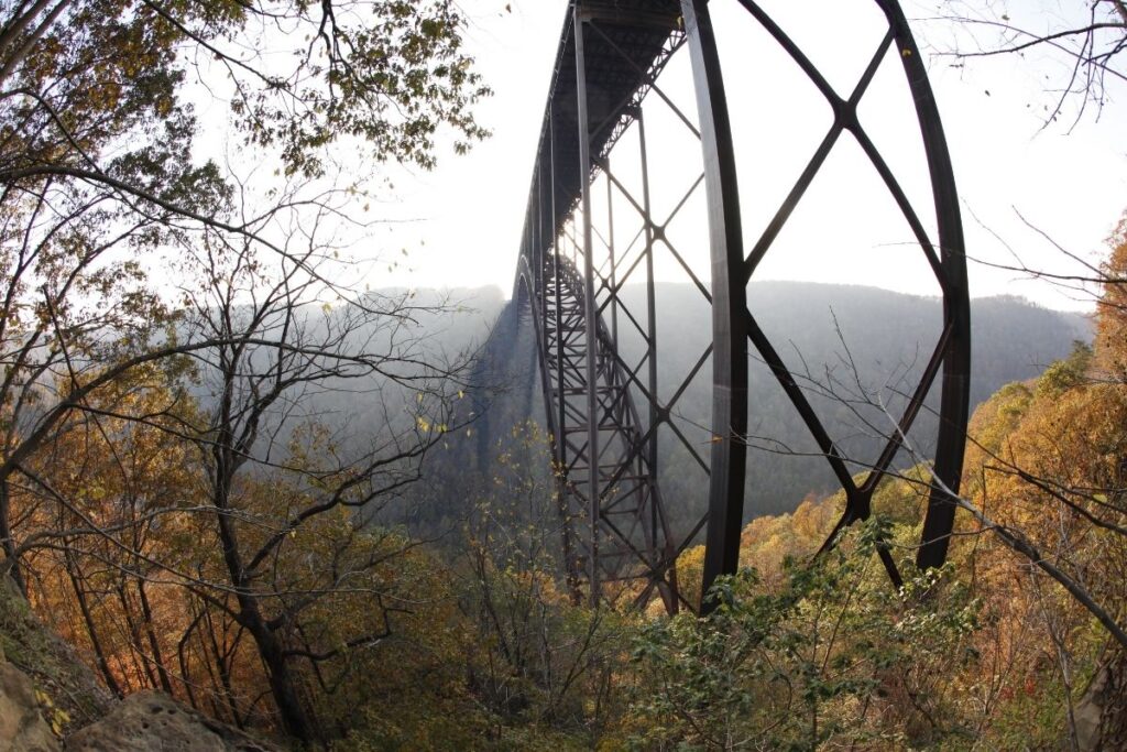
Bridge Trail
- Distance: 1.7 miles / 2.75 km one way (3.4 miles / 5.5 km round trip)
- Elevation Gain: 754 feet (230m)
- Estimated Time: 1-2 hours
- Type of Trail: Out and back
- Trailhead Location: Parking lot near Fayette Station Road
- Map: All Trails
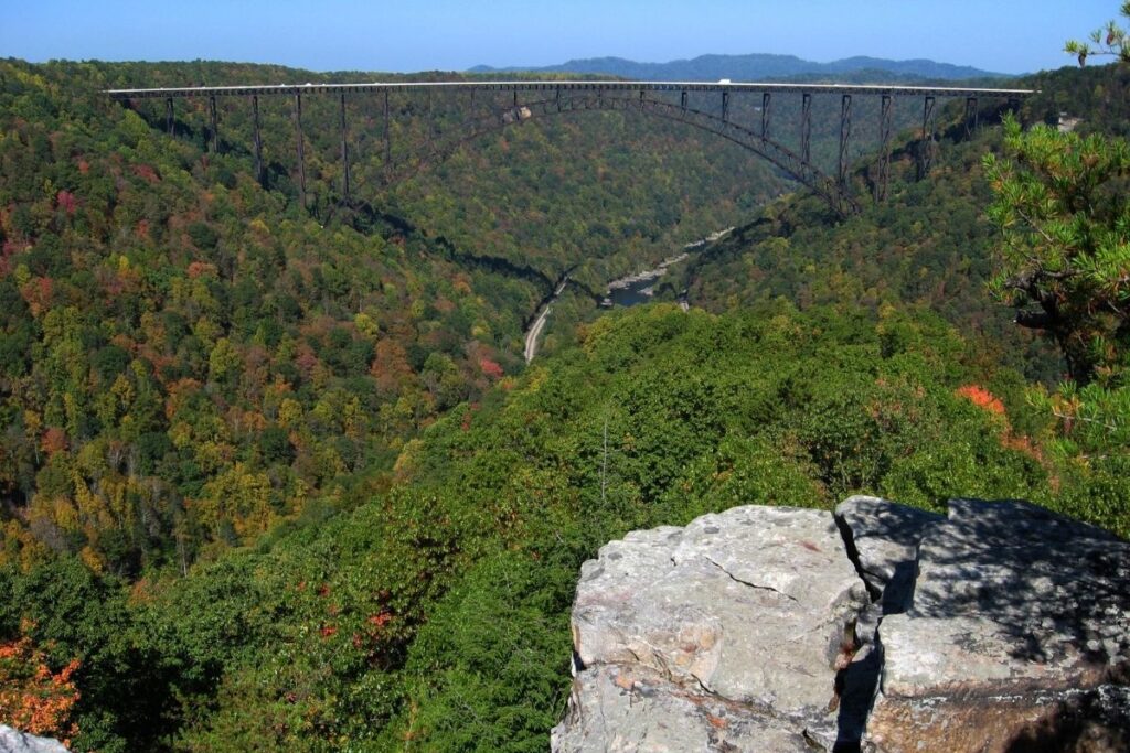
When it comes to reaching the trailhead you want to turn off Route 19 and then follow Fayette Station Road for around 0.8 miles. Then as you turn right you will come to a parking area for the trailhead. The Bridge Trail passes under the New River Gorge Bridge and connects to the Fayetteville Trail. The hike is listed as strenuous due to the terrain being occasionally steep and rocky, so be cautious with your footing. However, it’s worth it as the trail offers stunning views of the gorge and New River Gorge Bridge.
Gwinn Ridge Trail
- Distance: 3.4 miles / 5.6 km round trip
- Elevation Gain: 495 feet (151m)
- Estimated Time: 3-5 hours
- Type of Trail: Loop
- Trailhead Location: A small parking area on Brooks Mountain Road
- Map: All Trails
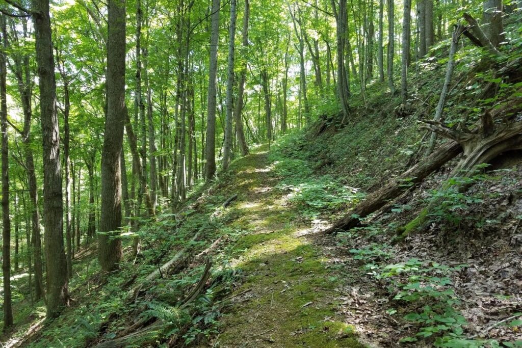
The trailhead can be quite hard to spot, so just follow Brooks Mountain Road from Route 20 for around 2.5 miles and you will come to a small parking area. The Gwinn Ridge Trail loops through a ridge top forest and is a relaxing hike with woodland scenery and wildflowers depending on what time of year you visit. The southern part of the trail follows the edge of the ridge, and in winter when the trees are bare you should be able to see beautiful views. Some of the trail is quite difficult to follow at times, and you may come across some obstacles – namely fallen trees. However, if you’re looking for a serene hike but with some difficulty, then this is a great trail to choose.
Kate’s Falls Trail
- Distance: 0.2 miles / 0.32 km one way
- Elevation Gain: 1952 feet (595m)
- Estimated Time: 30 minutes
- Type of Trail: Out and back
- Trailhead Location: Off the Glade Creek Trail
The trailhead of Kate’s Falls Trail is accessed off the Glade Creek Trail; either 4.6 miles upstream from Glade Creek Campground or 1.09 miles downstream from the upper trailhead. Although only a short route to reach Kate’s Falls the trail is very steep. However, the exertion is worth it as the waterfall is beautiful and is the perfect spot for a break during your hike. This route is a spur trail meaning it reaches a dead end and doesn’t connect with any other trails in the National Park. Its purpose is simply to view the waterfall, and then you will head back along the Glade Creek Trail. Currently, there is a partial trail washout near the start of Kates Falls Trail, and it can be impassible at high water times. Do your research and take caution, if the trail looks too dangerous then don’t attempt it.
Kaymoor Miner’s Trail
- Distance: 0.8 mile / 1.3 km one way (1.6 miles / 2.6 km round trip)
- Elevation Gain: 869 feet (265m)
- Estimated Time: 1.5-2.5 hours
- Type of Trail: Out and back
- Trailhead Location: Kaymoor Top
- Map: All Trails
Although short, the Kaymoor Miner’s Trail is one of the most difficult hikes in New River Gorge National Park. Starting on the upper rim of the Gorge, the trail then quickly descends towards the river. The hike will then take you down a large number of steps to reach a historical coal mine called the Kaymoor One Mining Complex. There are signs located around the area that explain the history of the land, mine, and the communities that worked here. Unfortunately, the only way to get back to the trailhead is to hike back up all those steps that you just walked down. It is no easy feat, so be prepared for this trail to push you. The railroad track next to the river is active and is located on private property so be careful not to trespass.
Little Laurel Trail
- Distance: 2.5 miles / 4.1 km one way (5 miles / 8.2 km round trip
- Elevation Gain: 1204 feet (367m)
- Estimated Time: 2.5-3.5 hours
- Type of Trail: Out and back
- Trailhead Location: The parking area for shelter #3 and #4 at Grandview
- Map: All Trails
There are two trailheads for Little Laurel Trail; the upper trailhead and the lower trailhead. The upper trailheads location is noted in the list, whilst the lower trailhead is located on Glade Creek Road. Whilst following Route 41 towards Prince, there is a gravel road on the right that leads past the trailhead. It is located just before the bridge crosses the New River. The trail connects Grandview with New River and is a popular hike in the national park. It follows an old road for around 2 miles as it descends to the river. With an elevation change of around 1400 feet and the trail descending steeply in some areas, this hike is one of the most strenuous in New River Gorge. However, if you do this hike during spring you will be rewarded with a large diversity of wildflowers along the way.
Moderate Hikes in New River Gorge
Big Branch Trail
- Distance: 1.9 miles / 3.2 km round trip
- Elevation Gain: 528 feet (161m)
- Estimated Time: 1-2 hours
- Type of Trail: Loop
- Trailhead Location: Accross the road from Brooks Falls Overlook
- Map: All Trails
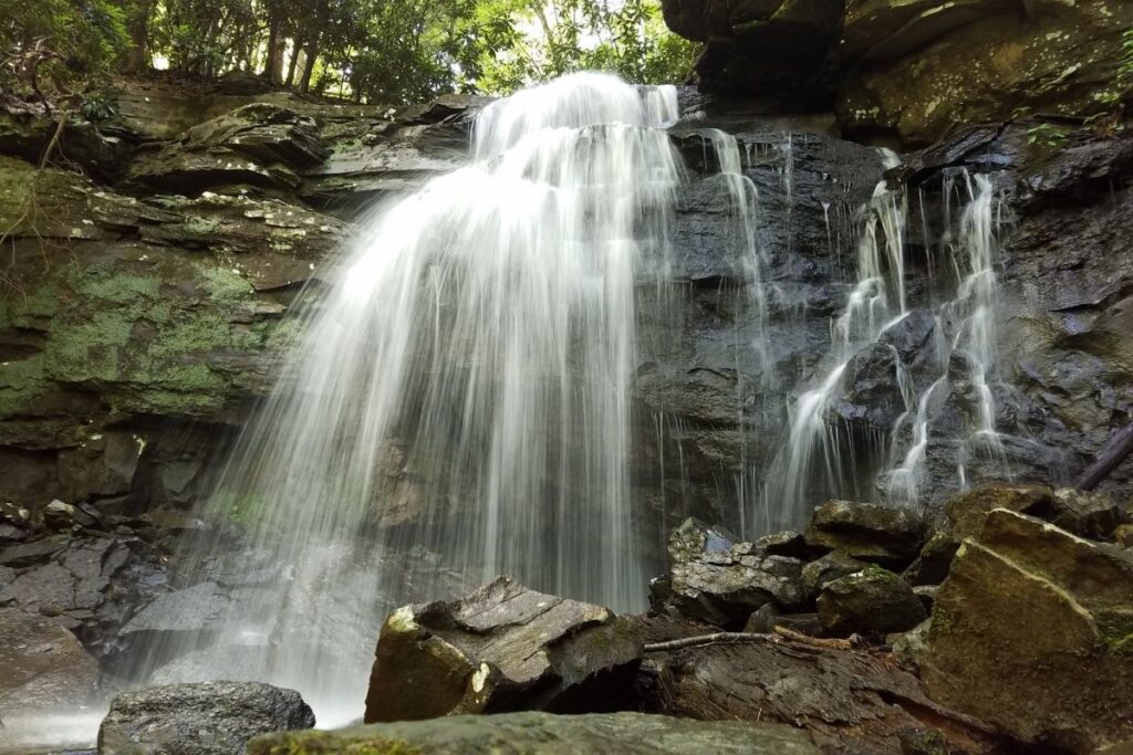
The Big Branch Trail is relatively short in distance but will test your endurance. As well as a steep descent throughout the hike, this trail also requires an intimidating climb up a rocky creek bed. Although challenging, the Big Branch Trail rewards you with numerous waterfalls and incredible views of the New River. If you decide to hike during springtime, you will also get to see the beautiful wildflowers that line the trail. As you get to the southern part of the loop, the trail crosses a stream and you will come to the ruins of an old farmstead. From there, the trail climbs up to the ridge top offering incredible views of the gorge. As you descend back down to the trailhead, you will also get scenic views of Brooks Falls.
Brooklyn Mine Trail
- Distance: 2.85 miles / 4.65km one way (5.7 miles / 9.3 km round trip)
- Elevation Gain: 403 feet (123m)
- Estimated Time: 2-3 hours
- Type of Trail: Out and back
- Trailhead Location: The parking area near the signs for Cunard River Access Road
- Map: All Trails
The Brooklyn Mine Trail follows an old road through the forest before ending up at the old Brooklyn Coal Mine Site. The old mine is an interesting site, where you can still see the mine workings including the mine tracks. Although quite decayed, it’s incredible to imagine what this area used to look like. You also get beautiful views of the river through the trees as you walk along the trail. The Brooklyn Mine Trail is also popular with cyclists and horse riders, so be respectful and don’t take up a large area of the trail.
ltrails” src=”https://www.alltrails.com/widget/trail/us/west-virginia/brooklyn-mine-trail–3?u=i” width=”100%” height=”400″ frameborder=”0″ scrolling=”no” marginheight=”0″ marginwidth=”0″ title=”AllTrails: Trail Guides and Maps for Hiking, Camping, and Running”>Butchers Branch Trail
- Distance: 0.8 mile / 1.3 km one way (1.6 miles / 2.6 km round trip)
- Elevation Gain: 246 feet (75m)
- Estimated Time: 1 hour
- Type of Trail: Out and back
- Trailhead Location: Kaymoor Top Trailhead
- Map: All Trails
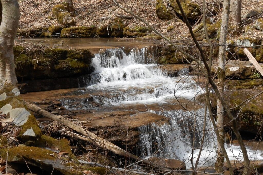
The Butchers Branch Trail connects the Kaymoor Top area to the Long Point Trail, so if you are wanting to lengthen the trail it’s possible. The trail starts downhill and then flattens out as it approaches the rim of New River Gorge. This trail is popular with rock climbers, and there is a Butcher Branch climbing area located off the main trail. However, it’s important to be wary after a long day of rainfall as the rock continues to seep, which makes the rockface incredibly slippy. If you continue along the spur trail past the climbing area you will come to Butcher Branch Falls. The trail will then end slightly farther on, so head back the way you came and go back onto the main trail.
Castle Rock Trail
- Distance: 0.9 mile / 1.6 km round trip
- Elevation Gain: 150 feet (46m)
- Estimated Time: 30 minutes
- Type of Trail: Loop
- Trailhead Location: Grandview Visitor Center
- Map: All Trails
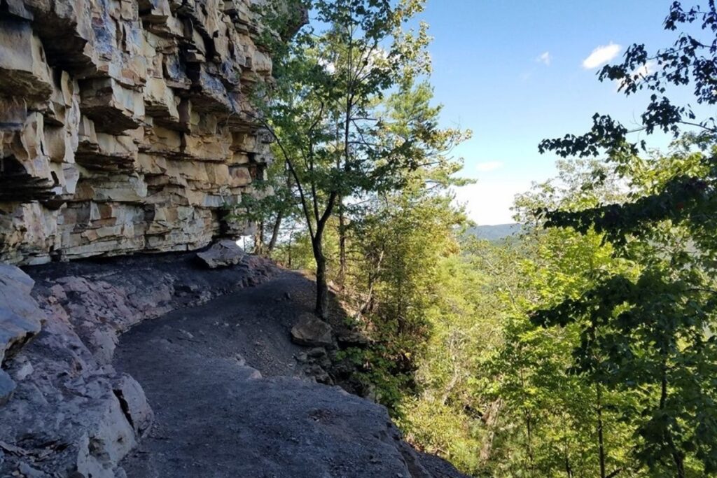
The Castle Rock Trail follows the base of several large cliffs along Grandview Rim and ends where it intersects with the Grandview Rim Trail. Along the way, you will be rewarded with incredible views of rock walls, exposed coal seams, and of course New River. Although a moderately challenging hike, this trail is suitable for most fitness levels. However, as there are a lot of steep drop-offs on this trail it isn’t recommended for young children. The surface of the trail can also be very uneven so it’s important to be cautious when doing this hike.
Glade Creek Trail
- Distance: 5.95 miles / 9.65 km one way (11.9 miles / 19.3 km round trip)
- Elevation Gain: 1394 (425m)
- Estimated Time: 4-6 hours
- Type of Trail: Out and back
- Trailhead Location: Glade Creek Campground
- Map: All Trails
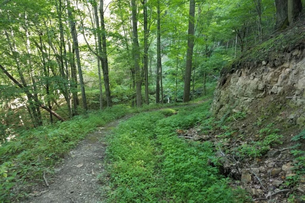
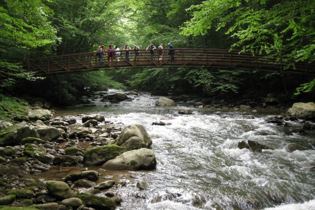
This New River Gorge trail follows the beautiful Glade Creek throughout most of the hike. It’s a well-maintained trail and the gradient is steady, so there aren’t any really steep parts of the hike. Throughout the trail, there are multiple swimming holes and some beautiful waterfalls where you can take a dip. This is often the most popular part of the hike and gives you a chance to cool off. When you reach the lower part of the trail, you will be crossing the rivers via a footbridge. However, if the water level is too high you may not be able to cross so it’s best to research the weather before your trip. Aside from Glade Creek Campground, there is another trailhead located further up but It’s important to note that a 4×4 high clearance vehicle may be needed to get to it.
Headhouse Trail
- Distance: 0.65 mile / 1.05 km one way (1.3 miles / 2.1 km round trip)
- Elevation Gain: 393 feet (120m)
- Estimated Time: 1-2 hours
- Type of Trail: Out and back
- Trailhead Location: Small parking area just beyond Nuttal Cemetery Road
- Map: All Trails
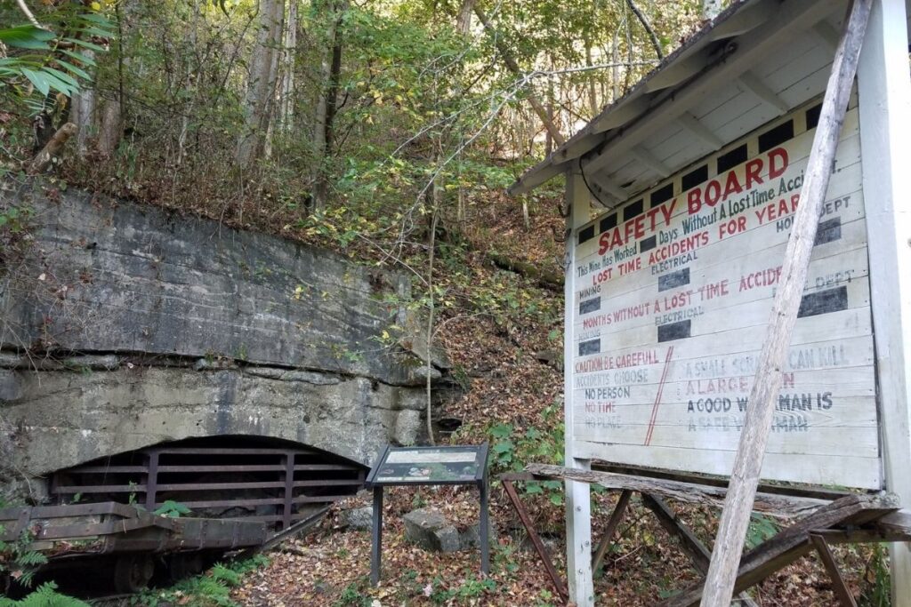
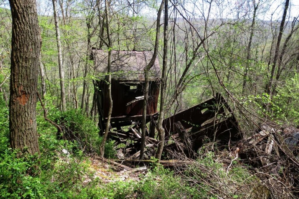
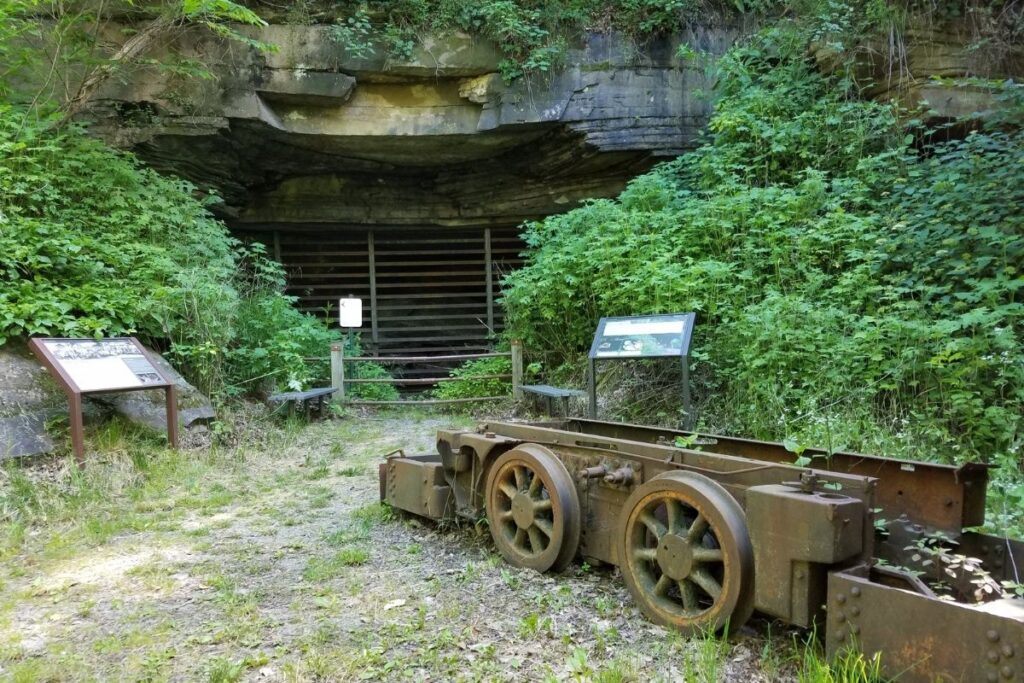
The trailhead to Headhouse Trail can be quite difficult to spot. First of all, you want to head onto Lansing-Edmond Road, and then turn right onto Beauty Mountain Road. Next, you want to turn right on the road beyond Nuttal Cemetary Road and you will come to a small parking area next to a gate. The trail follows a gravel road down to Nuttal Coal Mine which was used in the 1940s. There is an old coal conveyor still located on-site, and informational signs that tell you about the history of the area. Several other structures also still remain including the electric substation, the hoist house, the mine itself, and the headhouse. Make sure you allow yourself a good amount of time to explore the area and learn about its history.
Long Point Trail
- Distance: 1.45 mile / 2.4km one way (2.9 miles / 4.8 km round trip)
- Elevation Gain: 321 feet (98m)
- Estimated Time: 1.5 -2.5 hours
- Type of Trail: Out and back
- Trailhead Location: Long Point Trail parking area
- Map: All Trails
The Long Point Trail is known for having one of the best views in all of New River Gorge National Park. The trail descends through the forest and is relatively easy apart from a few steep sections. The trail then comes to an end at Long Point where you will get a panoramic view of the gorge and New River Gorge Bridge. The bridge’s architecture, with the New River running below and its forested setting, makes for a pretty spectacular view. Bicycles are permitted on part of the trail, but not all of it so there is a bicycle rack for when you aren’t allowed to take your bike any further. If you only have a short amount of time to explore the National Park, then make sure this hike is on your list.
Rend Trail
- Distance: (9 miles / 14.6 km round trip)
- Elevation Gain: 1030 feet (314m)
- Estimated Time: 6-8 hours
- Type of Trail: Loop
- Trailhead Location: The Thurmond Trailhead or Minden Trailhead
- Map: All Trails
When it comes to the trailhead for the Rend Trail you have two choices; either the Thurmond trailhead or the Minden trailhead. Although a long hike, the trail is relatively easy and flat making it one of the more popular hikes in the National Park. The trail was originally constructed in 1906 as a railroad line. It was used to move coal from the mines in Minden to the mainline tracks in Thurmond until it was abandoned in 1972. Now it’s a popular spot with hikers and cyclists alike. Unfortunately, the Rend Trail is currently closed at the second bridge from the Minden side due to structural damage and will remain shut for the foreseeable future. Due to this, the accessible part of the trail from that trailhead is a distance of around 2 miles, and it isn’t possible to do the full loop.
Stone Cliff Trail
- Distance: 2.85 miles / 4.6 km one way (5.7 miles / 9.2 km round trip)
- Elevation Gain: 354 feet (108m)
- Estimated Time: 4-5 hours
- Type of Trail: Out and back
- Trailhead Location: By the picnic tables in the parking area
- Map: All Trails
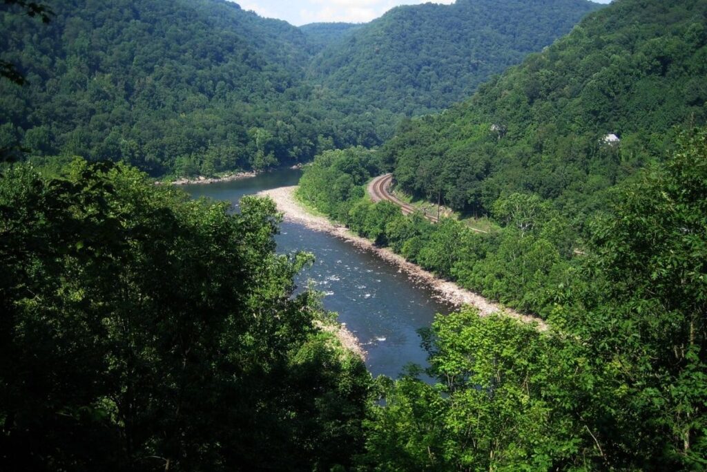
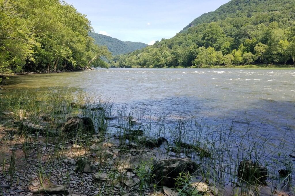
The trailhead for Stone Cliff Trail is pretty complicated. First of all, you need to follow the signs for Thurmond on the WV Route 25 until you come to a three-way intersection. From there bear right, and head down the road for 1.5 miles until a gravel road appears. Take a right on the gravel road just before the bridge crosses the New River, and continue past the boat launch to the parking area. The trail runs through a forest following the New River on one side, and the base of a tall ridge on the other. There are several points where you can access the river, and this trail is known for its great views.
Easy New River Gorge Hikes
Canyon Rim Overlook Boardwalk

- Distance: 0.6 mile / 1 km round trip
- Elevation Gain: 88 feet (27m)
- Estimated Time: 30 minutes
- Type of Trail: Out and back
- Trailhead Location: Canyon Rim Visitor Center
- Map: All Trails
The Canyon Rim Overlook Boardwalk is one of the shortest and easiest hikes in the National Park. Starting from the Canyon Rim Visitor Center, this trail offers stunning views of the gorge below and the New River Gorge Bridge. Although a short and easy trail, there are plenty of stairs to get up and down from the viewpoint. From the visitor center to the overlook of the bridge is wheelchair and stroller friendly as the trail is wide and relatively flat. Although the main viewpoint has stairs, there is a viewpoint slightly to the right from the main path which has no stairs. If you don’t have much time in the New River Gorge National Park, then make sure this short hike is on your list.
Concho Overlook
- Distance: 0.3 mile / 0.5km round trip
- Elevation Gain: 22 feet (7m)
- Estimated Time: 20 minutes
- Type of Trail: Out and back
- Trailhead Location: ACE Adventure Resort parking area
- Map: All Trails
The Concho Overlook Trail is one of the easiest hikes in the park and can be done no matter what your fitness level. The overlook itself offers a great view over the Thurmond railroad and is located at a point where the New River bends. It is also possible to drive straight up to the overlook but it often gets quite busy. This is a great hike to do if you are looking for an easy, small-distance hike that still offers great views. It’s especially beautiful in the evening with the street lights and car headlights.
Endless Wall Trail
- Distance: 2.3 miles / 3.7 km one way
- Elevation Gain: 288 feet (88m)
- Estimated Time: 1-2 hours
- Type of Trail: Point to point
- Trailhead Location: Fern Creek Trailhead or Nuttal parking lot.
- Map: All Trails
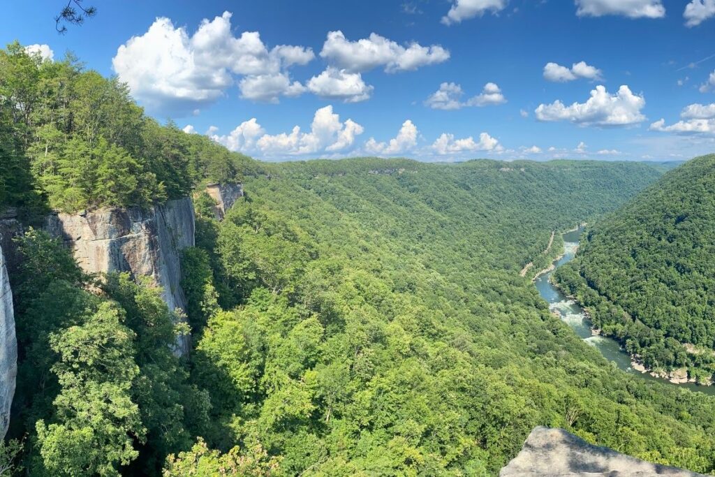
The Endless Wall Trail is one of the best hikes in New River Gorge National Park. Aside from the fact that the trail is relatively easy and flat, it also offers some of the most beautiful views in the national park. The trail runs through a forest and along the cliff edge until it ends at Diamond Point Overlook. Diamond Point is the main overlook on the trail and has beautiful views of the New River and its surroundings. As well as beautiful views, this trail is also important historically as it’s the site of Nuttalburg Mine which was the largest mine in New River until the late 1800s. It’s also possible to do this hike as a loop trail where you can either start at Fern Creek Trailhead or Nuttal parking lot. If you have a car then Nuttal parking lot is often the quieter choice.
Grandview Rim Trail
- Distance: 1.45 miles / 2.4 km one way (2.9 miles / 4.8 km round trip)
- Elevation Gain: 288 feet (88m)
- Estimated Time: 1-3 hours
- Type of Trail: Out and back
- Trailhead Location: The main overlook in Grandview
- Map: All Trails
The Grandview Rim trail is the longest trail at Grandview, connecting the main overlook and Turkey Spur overlook. Although this trail is rated as easy, there are a few steep hills located near Turkey Spur. There are also a set of stairs located close to the overlook. Along the way, you will get scenic views of the river and gorge below, so this isn’t a hike to forget your camera. At around 1,400 feet above New River, it’s the deepest section of the New River Gorge. The Grandview Rim Trail is a great hike to do if you only have a limited amount of time in the National Park. If you want to learn more about this trail during your hike you can pick up a self-guided trail brochure.
Timber Ridge Trail
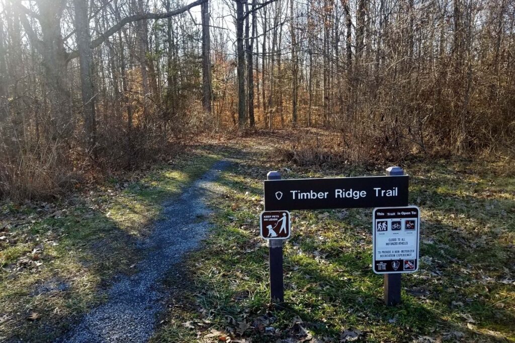
- Distance: 0.9 mile / 1.45 mile one way (1.8 miles / 2.9 km round trip)
- Elevation Gain: 164 (50m)
- Estimated Time: 1-2 hours
- Type of Trail: Out and back
- Trailhead Location: Newton Road
- Map: All Trails
When it comes to finding the trailhead for Timber Ridge Trail, things can get a little tricky. First of all, you need to follow Route 16 south through Fayetteville and then turn left on Gatewood Road. Head along Gatewood Road for around 2 miles, and then turn left onto Newton Road. You will find the trailhead about 50 yards up on the left side of the road. This hike follows an old roadbed and provides access to the Fayetteville Trail. Although there aren’t any notable viewpoints on this trail, if you hike during the springtime you will be rewarded with plenty of beautiful wildflowers.
Tunnel Trail
- Distance: 0.4 mile / 0.8 km round trip
- Elevation Gain: 108 feet (33m)
- Estimated Time: 30 minutes
- Type of Trail: Loop
- Trailhead Location: Grandview Visitor Center
- Map: All Trails
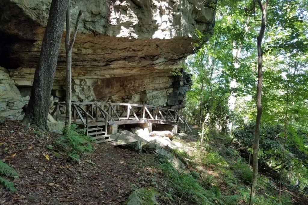
The Tunnel Trail is one of Grandview’s shortest trails so is perfect if you don’t have a lot of time in the National Park. The trail starts near the main overlook and then takes you around the base of a large rock overhang. As you head along the trail you will come to entrances in the tunnel, which is essentially a narrow cave that cuts through the cliffs. It used to be possible to go into the tunnel but unfortunately, it’s currently closed due to safety concerns. As the trail runs through lush forests and towering rock faces it is incredibly shady, so is a great hike for a hot summer’s day.
Frequently Asked Questions about New River Gorge Trails?
Can you hike to the bottom of New River Gorge?
You can certainly hike to the bottom of New River Gorge but many of the hikes are pretty strenuous. With the hot weather, lack of shade in some areas and the ascent back up from the gorge – it’s no easy feat.
The Kaymoor Miner’s Trail takes you right down into the gorge but with over 800 steps to get down, and then ascend on the way back it’s a very challenging hike. Unless you have a good level of fitness and are used to hiking, maybe opting to hike to a viewpoint would be a better option.
If you don’t feel like you’re up to the task of hiking down to the gorge there are plenty of trails that offer amazing viewpoints of the gorge instead. Some of the easier trails with great viewpoints include:
- The Grandview Rim Trail
- The Endless Wall Trail
- The Canyon Rim Overlook Boardwalk
If you are looking for something a bit more strenuous, then these are some of the moderately challenging hikes with the best views of the gorge:
- The Long Point Trail
- Big Branch Trail
Does the Appalachian trail go through New River Gorge National Park?
The Appalachian Trail is the longest hiking-only trail in the world and is incredibly popular. More than 2 million people hike part of the trail at least once a year, which is a pretty insane number. The Trail is around 2,200 miles (3,500km) long and runs between the Springer Mountain in Georgia to Mount Katahdin in Maine.
In the southern part of West Virginia, the Appalachian Trail crosses the New River. Although the trail crosses over the river at some point, the New River Gorge National Park itself is a couple of hours’ drive away from the Appalachian Trail.
How long is Endless Wall Trail?
The Endless Wall Trail is one of the best and most popular hikes in New River Gorge National Park. The trail is set as a point-to-point trail with a distance of 2.3 miles / 3.7 km one way. However, it is possible to do this hike as a loop trail where you can either start at Nuttal Parking lot or Fern Creek Trailhead and do a full loop. Just allow yourself extra time to do this, as the trail will be slightly longer. The estimated time to complete this trail is 1-2 hours.
Final Thoughts on Day Hiking in the New River Gorge
We hope this article has encouraged you to try some of the beautiful trails New River Gorge National Park has to offer, so you can experience the mesmerizing scenery for yourself. Which is your favorite hike in New River Gorge National Park? If it isn’t on this list, then leave a comment below to inspire other hikers or join us in talking about all things National Parks in our National Park Trip Planning Community.
Pin for Later: The 20 ABSOLUTE Best New River Gorge Hikes for 2022

Hi, I'm Jennifer!

Welcome to the wonderful world of National Parks. I'm here to help you plan your NEXT amazing adventure through the United States National Parks and beyond. I want the national parks to be accessible to all.
I live in Tennessee, and when I'm home, you can find me hiking in the Smokies and the Cumberland Plateau.
58/63 National Parks
250+/423 National Park Units
Want to know more? Start Here.
Snag one of my National Park Ebooks and Downloadable Itineraries

Talk with an Expert

Share your love of the parks with a shirt, ornaments, hoodies, frames, and more.
