National Parks of Idaho
There is currently six National Park Service Site in Idaho and 3 associated sites.
Official National Parks of Idaho
- City of Rocks National Reserve
- Craters of the Moon National Monument
- Craters of the Moon National Preserve
- Hagerman Fossil Beds National Monument
- Minidoka National Historic Site
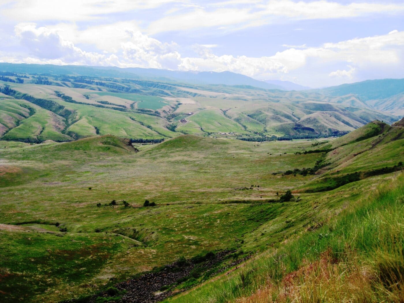
- Nez Perce National Historical Park
- Ant and Yellowjacket
- Asa Smith Mission
- Camas Meadows Skirmish Site
- Camas Prairie
- Canoe Camp
- Clearwater Battlefield
- Confluence Overlook
- Cottonwood Skirmishes
- Coyote’s Fishnet
- Craig Donation Land Claim
- Fort Lapwai
- Hasotino
- Heart of the Monster
- Lenore
- Lewis and Clark Long Camp
- Lolo Pass and Trail
- Looking Glass’ 1877 Campsite
- McBeth House
- Musselshell Meadow
- Northern Idaho Indian Agency
- Pierce Court House
- Spalding Sites
- St. Joseph’s Mission
- Tolo Lake
- Weippe Prairie
- Weis Rockshelter
- White Bird Battlefield
- Yellowstone National Park
Associated sites of Idaho
- California National Historic Trail
- Ice Age Floods National Geologic Trail
- Lewis and Clark National Historic Trail
- Oregon National Historic Trail
[show-map id=”10″]
Idaho National Parks
Idaho is part of the West Coast region.
City of Rocks National Reserve
Craters of the Moon National Monument
Craters of the Moon National Preserve
Hagerman Fossil Beds National Monument
Minidoka National Historic Site
Nez Perce National Historical Park
The Nez Perce National Historical Park follows the Nez Perce people’s traditional lands and history and their resistance to the United States government’s forced relocation. The park contains 38 sites in Idaho, Montana, Oregon and Washington.
The park is headquartered in Spalding, Idaho. It was created on May 15, 1965. Management of the 38 sites is split between NPS and several other federal and state agencies.
There are twenty-seven sites in Idaho. These are Ant and Yellowjacket, Asa Smith Mission, Camas Meadows Skirmish Site, Camas Prairie, Canoe Camp, Clearwater BattlefieldConfluence Overlook, Cottonwood Skirmishes, Coyote’s Fishnet, Craig Donation Land Claim, Fort Lapwai, Hasotino, Heart of the Monster, Lenore, Lewis and Clark Long Camp, Lolo Pass and Trail, Looking Glass’ 1877 Campsite, McBeth House, Musselshell Meadow, Northern Idaho Indian Agency, Pierce Court House, Spalding Sites, St. Joseph’s Mission, Tolo Lake, Weippe Prairie, Weis Rockshelter, White Bird Battlefield.
Things to do in Nez Perce National Historical Park: Hiking, Short Walks, Historical Sites, Museums
How to get to Nez Perce National Historical Park: There are 38 different sites spread out between Montana, Idaho, Oregon, and Washington. Look at the park map to figure out the best routes to the sites.
Where to Stay in Nez Perce National Historical Park: Many of the towns near the sites offer accommodation options.
Nez Perce National Historical Park Entrance Fee: Free
Nez Perce National Historical Park Official Website: Click Here
Map of Nez Perce National Historical Park: Download
Yellowstone National Park
Get help planning your trip to Yellowstone National Park
- National Parks of Wyoming
- National Parks of Montana
- National Parks of Idaho
- All About Yellowstone National Park
- How to Get to Yellowstone National Park
- 10 Things to Know Before Visiting Yellowstone National Park
- 11 Books to Read Before Visiting Yellowstone National Park
- One Day in Yellowstone National Park – Yellowstone’s Grand Loop Highlights Driving Tour
- The Ultimate Guide to Camping in Yellowstone National Park
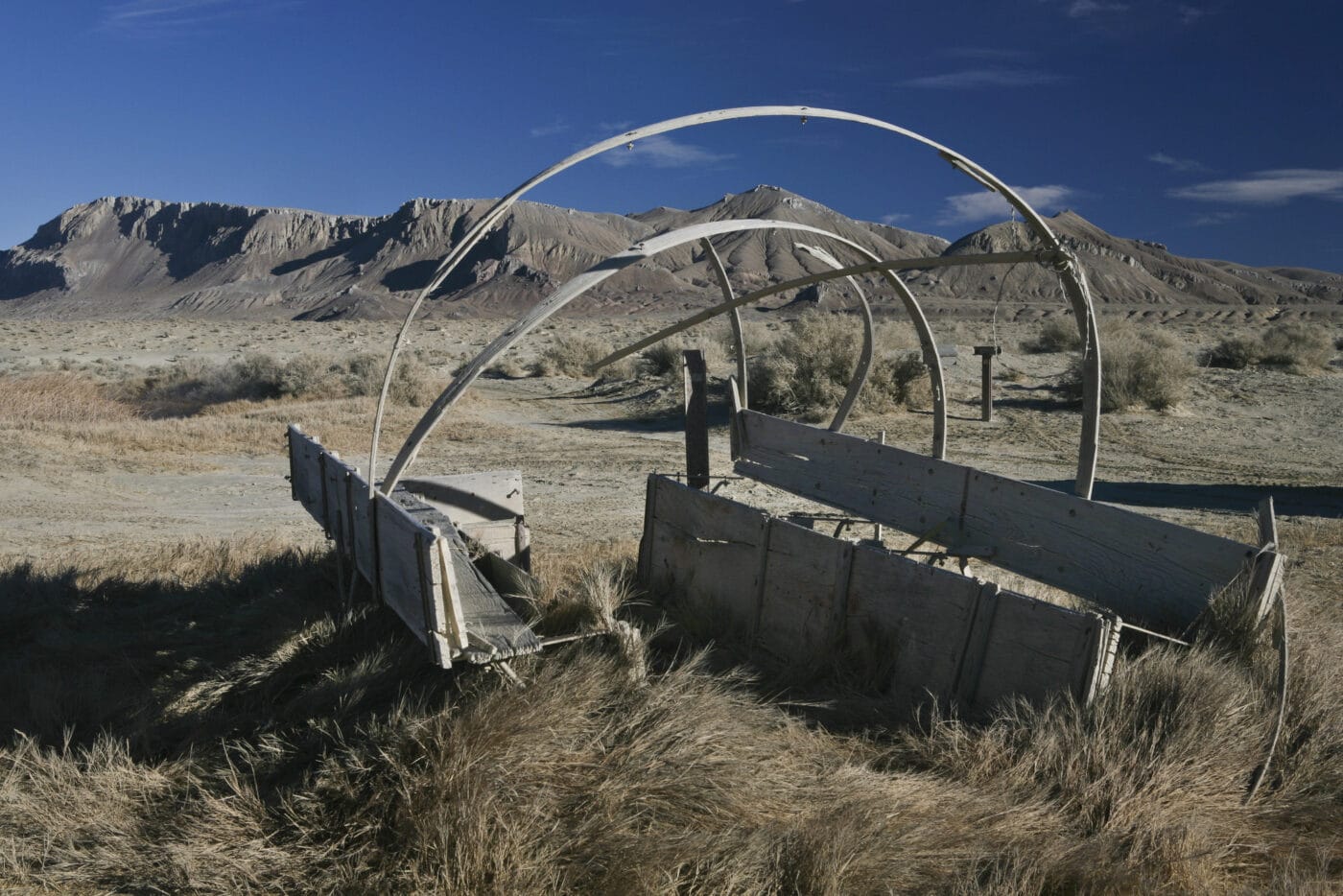
California National Historic Trail
The California National Historic Trail is a massive 5,000 mile trail and runs thru 10 different states. This trail retraces the overland routes over 250,000 emigrants took to reach the fertile farmlands and famed gold fields of California in the 1840’s and 1850’s.
Unlike some of the other trails of the National Trails System, the California Trail isn’t a single hiking trail. It is a disconnected series of hiking trails, roads, and sites. Many of the US highways follow the wagon trail the settlers created as they rushed to California. Emigrants had a choice of routes across the United States. These trails start in Missouri and Nebraska. The then run thru Kansas, Colorado, and Wyoming before splitting into Idaho and Utah. They go thru Nevada and into California and Oregon.
Things to do in California National Historic Trail: Auto Tours, Hiking, Horseback Riding, Museums, Camping
How to get to California National Historic Trail: The route runs from Missouri and Nebraska to California and Oregon. The various trail routes are approximately followed by various Highways and Interstates.
Where to Stay in California National Historic Trail:
California National Historic Trail Entrance Fee: There may be nominal fees at trail-related federal, state, or locally owned historic sites and interpretive facilities.
California National Historic Trail Official Website: Click Here
Map of California National Historic Trail: Download
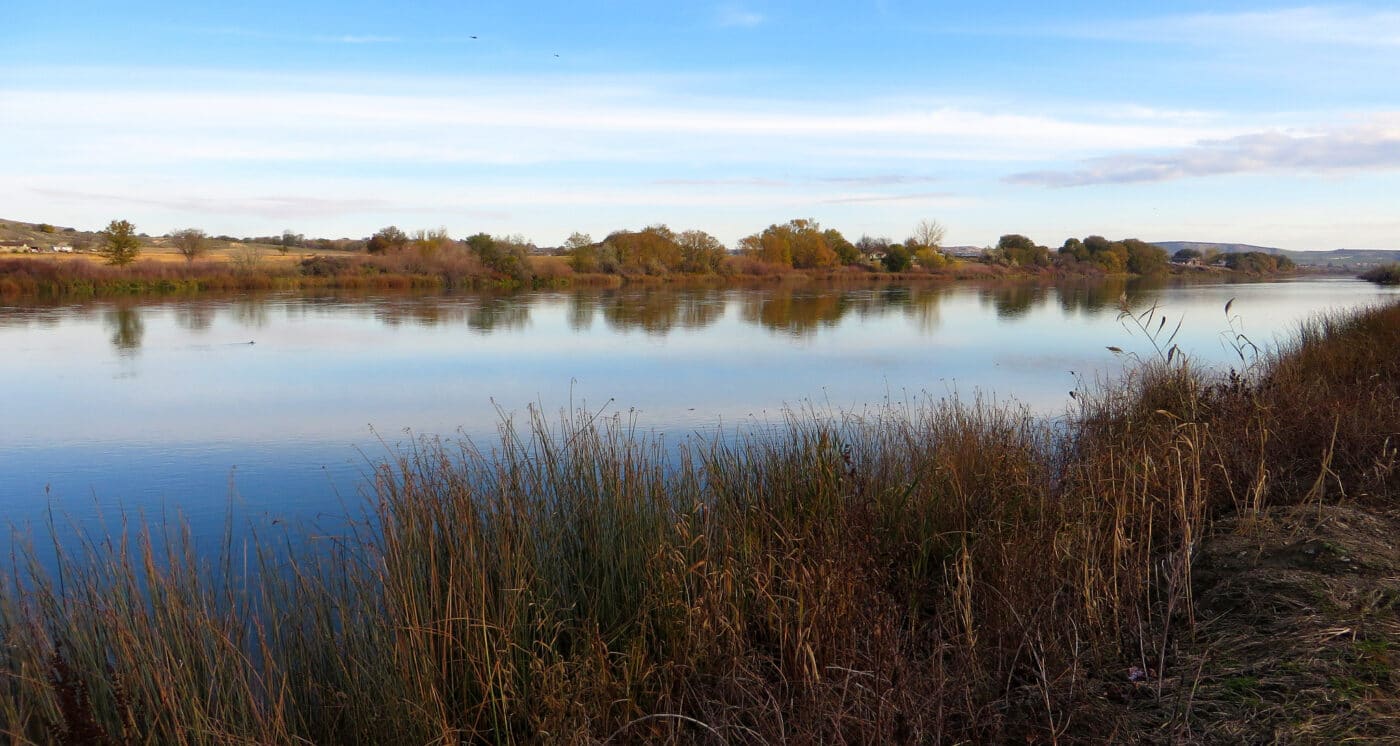
Ice Age Floods National Geologic Trail
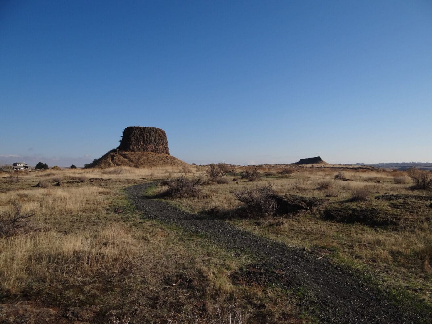
The Ice Age Floods National Geologic Trail will massive auto/hiking trail that follows the geological effects of the last ice age. The trail branches out and sections run thru the states of Washington, Oregon, Idaho, and Montana. The trail was designated in 2009 and much of the trail is still being formally developed.
At the end of the last ice age, a sheet of ice blocked several important rivers such as Clark Fork and the Columbia. These ice dams caused the water to back-up and created massive flooding. The effect of this flooding can be seen in massive canyons such as Columbia River Gorge and Wallula Gap.
Current stops on the trail include Multnomah Falls, Farragut State Park, Beacon Rock State Park, and Dry Falls/Sun Lakes State Park.
Things to do in Ice Age Floods National Geologic Trail: Hiking, Museums, Scenic Walks, Auto Tours
How to get to Ice Age Floods National Geologic Trail: The sites are located through Oregon, Montana Idaho and Washington.
Where to Stay in Ice Age Floods National Geologic Trail: There are various places to stay along the trail.
Ice Age Floods National Geologic Trail Entrance Fee: There may be nominal fees at trail-related federal, state, or locally owned historic sites and interpretive facilities.
Ice Age Floods National Geologic Trail Official Website: Click Here
Map of Ice Age Floods National Geologic Trail: Download
Lewis and Clark National Historic Trail
Lewis and Clark National Historical Park preserves the Lewis and Clark Expedition’s 1805-1806 winter encampment site. The area protects a replica of Fort Clatsop and other sites associated with the encampment. These sites include the Fort to Sea Trail, Clark’s Dismal Nitch, Netul Landing, Saltworks, and Station Camp.
This site celebrated the completion of Lewis and Clark’s Corps of Discovery. They reached their goal of reaching the Pacific Ocean. Once here, they spent the winter before heading home to share their discoveries. They built a small fort called Fort Clatsop for the winter. While there, they developed relationships with the indigenous people before heading back east. When they left Fort Clatsop, they turned the fort over to the local tribe.
Lewis and Clark National Historical Park was established on May 29, 1958, as Fort Clatsop National Memorial. On October 20, 2004, the park was expanded and renamed Lewis and Clark National Historical Park and includes sites in both Oregon and Washington.
Things to do in Lewis and Clark National Historic Trail: Hiking, Auto Tours, Museums,
How to get to Lewis and Clark National Historic Trail: The sites are located in the 16 states the trail runs through.
Where to Stay in Lewis and Clark National Historic Trail: There are various places to stay along the trail.
Lewis and Clark National Historic Trail Entrance Fee: There may be nominal fees at trail-related federal, state, or locally owned historic sites and interpretive facilities.
Lewis and Clark National Historic Trail Official Website: Click Here
Map of Lewis and Clark National Historic Trail: Download
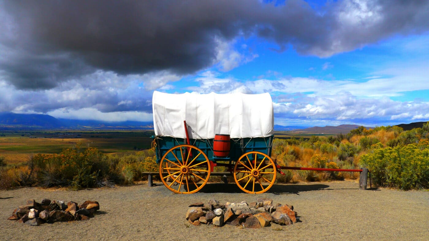
Oregon National Historic Trail
The Oregon National Historic Trail is often called the Oregon Trail. This 2,170-mile trail was used to travel from Independence, Missouri to Oregon Territory. These men and women headed west to fertile farmlands. The first half of the trail was used by travelers on the California National Historic Trail and the Mormon National Historic Trail.
Roughly 400,000 people packed up their lives into covered wagons to follow the Oregon Trail. Several stops along the Oregon Trail are their own national park sites such as Scotts Bluff National Monument, Fort Laramie National Historic Site, Hagerman Fossil Beds National Monument, and Fort Vancouver National Historic Site. Many other sites are within a couple hours drive of the trail.
Today, the trail runs thru Missouri, Kansas, Nebraska, Wyoming, Idaho, Washington, and Oregon. The Oregon National Historic Trail is mostly an autoroute.
Things to do in Oregon National Historic Trail: Auto Tours, Hiking, Sightseeing, Wildlife Watching
How to get to Oregon National Historic Trail: The sites are located in every state the trail runs through.
Where to Stay in Oregon National Historic Trail: There are various places to stay along the trail.
Oregon National Historic Trail Entrance Fee: There may be nominal fees at trail-related federal, state, or locally owned historic sites and interpretive facilities.
Oregon National Historic Trail Official Website: Click Here
Map of Oregon National Historic Trail: Download