14 ABSOLUTE Best Pinnacles Hiking Trails for 2022
- Jennifer Melroy
- Last Modified September 14, 2022
- First Published on February 27, 2022





Post Summary: Best Pinnacles Hiking Trails
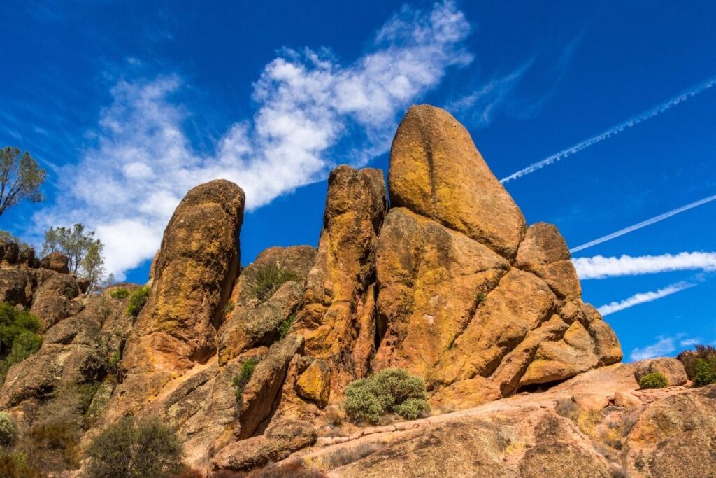
Pinnacles National Park is located east of the Salinas Valley in California and covers an area of 26,606 acres (107.67 km2). It’s one of the smaller national parks in the U.S and can easily be explored within a couple of days. The park has an interesting history and was created by an ancient volcanic eruption millions of years ago. This was due to the San Andreas Fault line and resulted in the many unique geological formations that we see today. With incredible scenery, unique geology and plenty of great wildlife – Pinnacles National Park is the perfect place to go hiking.
This post is going to through the 14 BEST hikes in Pinnacles National Park, and what you need to know about each one. There are more than 30 miles of hiking trails located within the park, and each one offers something special. The majority of them are pretty strenuous so it’s important not to overestimate your fitness level before attempting them. However, there are plenty of moderately challenging hikes within the Pinnacles too that still offer breathtaking views! With such a variety of awesome trails for you to hike, let’s get into the list.
Best of Pinnacles National Park in a Nutshell
- Best Things to Do: High Peaks Trail, California Condor Watching
- Best Time to Visit: The best time to visit is spring (the most popular time to visit) or fall. The temperatures are cooler, and the park facilities will be open, including the shuttle.
- Entrance Fees: The entrance fee is $30 per vehicle or free with the America the Beautiful National Park Pass. This $80 pass is valid for 12 months and includes over 2000+ federal lands for free.
- Make sure you have a National Park Passport: Here is my favorite National Park Passport.
- How to Get There: The only way to reach the park is to drive. You will need a vehicle to reach the park. Browse for deals on rental cars at RentalCars.com. Or rent an RV or campervan with RVshare or Outdoorsy.
- Best Airports: The closest airports are located in San Jose (SJC), Fresno (FAT), Oakland (OAK), or San Francisco (SFO). Use Skyscanner to get the best prices on your flights.
- How to Get Around: The park has an east side and a west side. Both sides have access to the most popular Pinnacles hiking trails. There is NO road connecting the two sides. There is limited parking. On the east side, there is a shuttle from the visitor center to the Bear Gulch trailhead.
- Where to Stay: The best place (and only) near the park is the Motel 6 Soledad. It is located on the west side of the park. If you are camping, there is a campground with RV & Tent sites along with small cabins on the east side of the park with a pool.
- Don’t forget travel insurance: I get my travel insurance through World Nomads.
- Nearby National Parks: Yosemite, Kings Canyon, Sequoia, Channel Islands, Lassen Volcanic, Death Valley, Joshua Tree, Redwoods
New to National Park Trip Planning? Check out the Ultimate National Park Planning Bundle to help guide you through planning a trip to the National Parks.
This post may contain affiliate links, meaning if you book or buy something through one of these links, I may earn a small commission at no extra cost to you! Read the full disclosure policy here

Quick Guide to Best Hikes in Pinnacles
| Trail Name | Difficulty | Distance | Elevation |
| Balconies Cave Trail | Moderate | 2.6 miles | 400 ft |
| Bench Trail | Moderate | 4.7 miles | 137 ft |
| Chalone Peak Trail | Strenuous | 7.7 miles | 2155 ft |
| Condor Gulch Trail | Moderate | 1.9 miles | 521 ft |
| High Peaks & Balconies Cave Loop | Strenuous | 9.3 miles | 2076 ft |
| High Peaks and Bear Gulch Loop | Strenuous | 7.7 miles | 1942 ft |
| High Peaks to Condor Gulch Trail Loop | Strenuous | 5.5 miles | 1630 ft |
| Juniper Canyon to High Peaks Loop | Strenuous | 4.4 miles | 1259 ft |
| Moss Springs and Rim Trail Loop | Moderate | 2.4 miles | 524 ft |
| Moss Springs to Bear Gulch Reservoir | Moderate | 1.1 miles | 311 ft |
| North Wilderness Loop | Moderate | 9.5 miles | 1220 ft |
| North Wilderness to Twin Knolls | Moderate | 3.1 miles | 629 ft |
| Old Pinnacles Trail to Balconies Cave | Moderate | 5 miles | 495 ft |
| Prewett Point Trail (Pinnacles Overlook Trail) | Easy | 0.9 mile | 78 ft |
Things to Know about Hiking in Pinnacles National Park
- There is an entry fee to enter the national park, and this can bought either as a 7-day pass or as an annual pass. An annual pass costs $55, whilst the 7-day passes vary in price (per vehicle; $30, per motorcycle; $25, per person/bicycle; $15).
- There are two entrances into Pinnacles National Park – the East Gate and the West Gate. There is no road that connects both entrances of the park, so you will need to pick one or the other. If you do want to visit both entrances, you will have to head back out and drive for an hour to reach the other entrance.
- No backpacking is allowed within the national park, and there is only one campground located within the Pinnacles. This is located at the east Gate.
- The best time to visit Pinnacles National Park is between October and May. This is when the weather is best for hiking. If you head to the national park during summertime, you have to be incredibly careful. The weather can be extreme during the summer months, so don’t hike early in the afternoon when temperatures are at their highest and take plenty of water.
- Parking is incredibly limited within the national park and can fill up by 10am on weekends and during the holidays. There is a shuttle that runs on the east side between the East Pinnacles Visitor Center and Bear Gulch. However, it only runs during the holidays and on weekends, and can be incredibly busy. Between 10 am and 3 pm the waiting times can be over an hour.
Related: 5 Things Not to Miss on Your First Visit to Pinnacles National Park
Best Pinnacles National Park Hikes
Strenuous Pinnacles Hikes
Chalone Peak Trail
- Distance: 3.85 miles / 6.2 km one way (7.7 miles / 12.4 km round trip)
- Elevation Gain: 2155 feet (657m)
- Estimated Time: 4-6 hours
- Type of Trail: Out and back
- Trailhead Location: Bear Gulch Day Use Area
- Map: All Trails
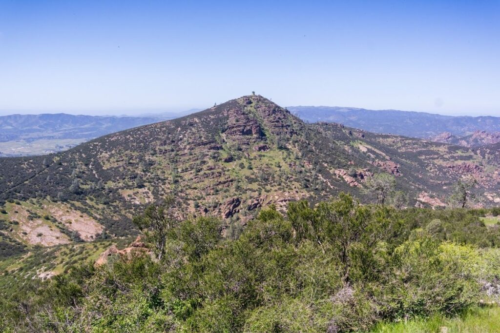
The Chalone Peak Trail is one of the most difficult hikes in Pinnacles National Park. The hike starts by following the Bear Gulch Trail and then juts off from the end of Bear Gulch Cave. As you emerge from the cave you will hike up a small staircase that will lead out to the Bear Gulch Reservoir. From here head along the trail past the ‘the sisters’ climbing area and the little Pinnacles, until you come to Chalone Peak. This is the highest point in the national park at an impressive 3,304 feet. Although a difficult hike for sure, you’ll be rewarded with outstanding views from the top. Before you decide to hike the Chalone Peak Trail it’s important to check at the Visitor Centre to ensure the caves are accessible. Make sure you bring a flashlight too because you’ll need it!
Deleted:High Peaks & Balconies Cave Loop
- Distance: 9.3 miles / 15.1 km round trip
- Elevation Gain: 2076 feet (633m)
- Estimated Time: 5-6 hours
- Type of Trail: Loop
- Trailhead Location: Juniper Canyon Trailhead
- Map: All Trails
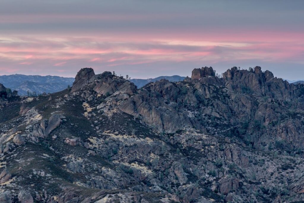
The High Peaks & Balconies Cave Loop is one of the best hikes to do within the Pinnacles. This is because it combines two of the most popular trails in the national park. The trailhead can be a little difficult to find for this trail, so make sure you enter through the right entrance. Head to the West Chaparral entrance from US 101, and start the hike from the parking lot. You will be starting this route along the Juniper Canyon Trail. You will begin by climbing into the High Peaks which will give you incredible views of the surrounding valley. After you’ve tackled this part of the hike you will head back along the Old Pinnacles Trail until you reach Balconies Cave. You then have the choice to head through the Caves or take the alternative route around which is the Balconies Trail.
High Peaks and Bear Gulch Loop
- Distance: 7.7 miles / 12.4 km round trip
- Elevation Gain: 1942 feet (592m)
- Estimated Time: 4-5 hours
- Type of Trail: Loop
- Trailhead Location: Bear Gulch Day Use Area
- Map: All Trails
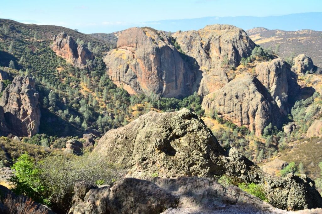
As you leave the trailhead for the High Peaks and Bear Gulch Loop you want to head towards Bear Gulch Cave. From here, you can go through the caves if they’re open or take the alternative route around. This will eventually lead you to the High Peaks trail which isn’t an easy route but boasts incredible views. If you’re lucky you might even be able to spot the rare Californian condors soaring above! This trail takes you along the entire High Peaks trail rather than just including part of it so is very popular. After you’ve conquered this part of the loop, you will head back down to the trailhead via the Bench Trail. If you do this route during springtime, there will also be plenty of wildflowers that line the trail.
High Peaks to Condor Gulch Trail Loop
- Distance: 5.5 miles / 8.9 km round trip
- Elevation Gain: 1630 feet (497m)
- Estimated Time: 3-5 hours
- Type of Trail: Loop
- Trailhead Location: Bear Gulch Nature Center
- Map: All Trails
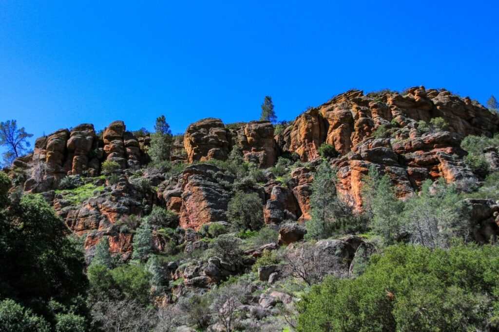
The High Peaks to Condor Gulch Trail Loop is well known for its incredible views and is one of the best hikes in Pinnacles National Park. However, it’s not an easy hike and is pretty steep in places. You will gradually climb up Condor Gulch Trail for a mile until you reach Condor Gulch Overlook. From here you will get an amazing view of the national park, and you might get to spot condors soaring high above! After you leave the overlook you will continue onwards to the High Peaks Trail which has a number of switchbacks and a handrail in places to help stabilize you. If you have a relatively high fitness level, this is a hike you don’t want to miss whilst visiting Pinnacles National Park.
Juniper Canyon to High Peaks Loop
- Distance: 4.4 miles / 7.2 km round trip
- Elevation Gain: 1259 feet (384m)
- Estimated Time: 2-3 hours
- Type of Trail: Loop
- Trailhead Location: Chaparral Picnic Area
- Map: All Trails
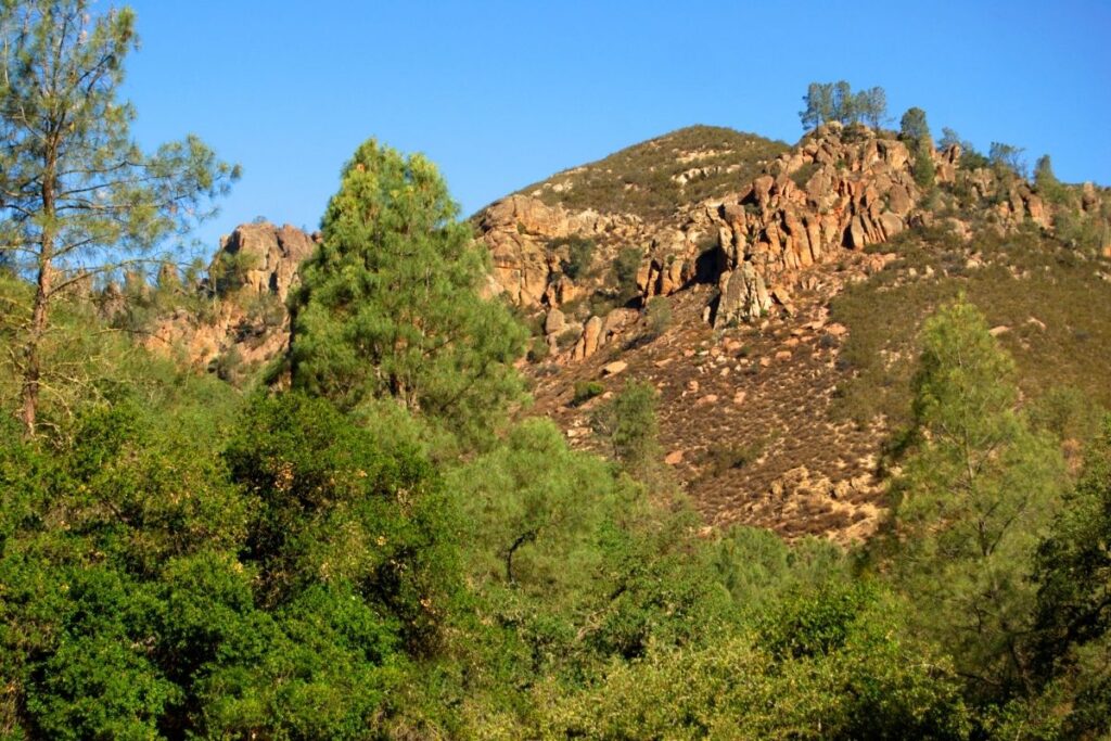
As you head from the Chaparral Picnic Area take the Juniper Canyon Trail, and head up to the High Peaks Trail. From here the trail climbs up and down and starts to get more difficult. There are handrails to help you along this part of the route, and it’s important to pace yourself along this part of the trail. However, once you get to the top you’ll be thoroughly rewarded because the views are incredible! You’ll be happy to hear that the most difficult part of the hike is done, and the trail becomes easier on the way back down. It’s important to note that this hike might not be for people who have a fear of heights due to steep drops and edges along the hike.
Moderate Hikes in Pinnacles
Balconies Cave Trail
- Distance: 1.3 miles / 2.1 km one way (2.6 miles / 4.2km round trip)
- Elevation Gain: 400 feet (122m)
- Estimated Time: 1-2 hours
- Type of Trail: Out and back
- Trailhead Location: Chaparral Picnic Area
- Map: All Trails
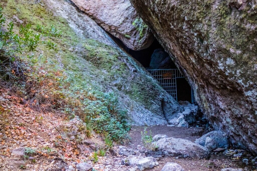
From Chaparral Picnic Area you need to take the Juniper Canyon Trail until it joins onto the Balconies Cave Trail. The trail will gradually head down into a canyon and then go through Balconies Cave. Make sure you have your flashlight for this part of the hike, as you will head down into the cave for about 400m. This part of the route is really cool and a great place to explore. As you exit the cave, take the Balconies Cliff Trail on the left and loop back around to the picnic area. The Balconies Cave is subject to closures so it’s always best to check before you start your hike. If you get to the Caves and they’re shut you can just take the alternative trail around the caves and continue the loop that way.
Deleted:Bench Trail
- Distance: 2.35 miles / 3.85 km one way (4.7 miles / 7.7 km round trip)
- Elevation Gain: 137 feet (42m)
- Estimated Time: 2-4 hours
- Type of Trail: Out and back
- Trailhead Location: Pinnacles Visitor Centre
- Map: All Trails
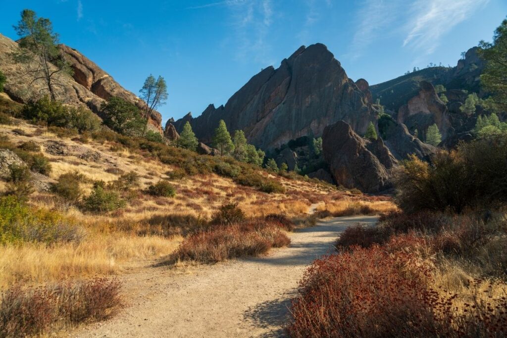
For this trail, you will walk along Chalone and Bear creeks from the Pinnacles Visitor Centre to Bear Gulch Day Use Area. The trail itself is beautiful, especially in fall with all the Autumn colors. If you’re lucky you might even be able to spot dear on this hike. Once you get to the Bear Gulch Day Use Area it’s possible to take the free shuttle back to the visitor center if you don’t want to walk back. The Old Pinnacles Trail starts where the Bench Trail ends, so if you want to make this hike longer just head along the Old Pinnacles Trail instead of heading back the same way.
Condor Gulch Trail
- Distance: 0.95 mile / 1.55 km one way (1.9 miles / 3.1 km round trip)
- Elevation Gain: 521 feet (159m)
- Estimated Time: 1 hour
- Type of Trail: Out and back
- Trailhead Location: Bear Gulch Nature Center
- Map: All Trails
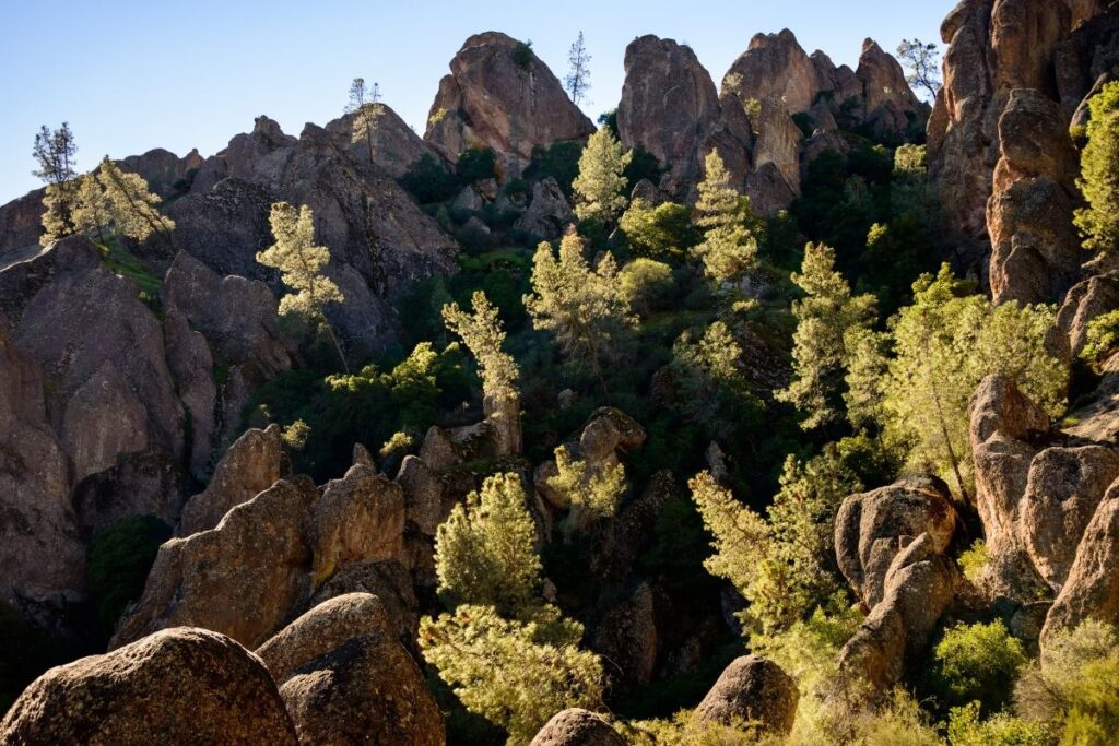
If you’re looking for a short hike in the Pinnacles that offers spectacular views, then the Condor Gulch Trail is for you. The trail starts from the Bear Gulch Nature Center and is relatively flat until it then climbs up the canyon walls and onto the pinnacles. As you continue along the trail you will reach the Condor Gulch Overlook which gives you incredible views of the High Peaks. From here you can head back along the same route or extend your hike. The trail meets up with the High Peaks Trail about 700m after the overlook and it’s possible to loop back from there. If you only have a short amount of time in Pinnacles National Park then this is a great hike to do!
Moses Spring and Rim Trail Loop
- Distance: 2.4 miles / 4 km round trip
- Elevation Gain: 524 feet (160m)
- Estimated Time: 1-1.5 hours
- Type of Trail: Loop
- Trailhead Location: Bear Gulch Nature Center
- Map: All Trails
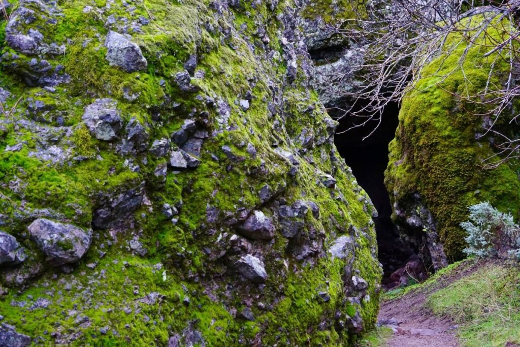
The Moses Spring and Rim Trail Loop is another great hike in the Pinnacles. It follows the Bear Gulch stream until you reach the Bear Gulch Caves. To head through the caves you’ll need a flashlight, as it’s incredibly dark. You might also get to see bats hanging from the ceiling as you go through. After you’ve exited the caves, continue along the trail and you will reach Bear Gulch Reservoir. From the reservoir, you then loop back to the trailhead. It’s important to note that the caves are subject to closures, and it’s important to check whether they are open before you attempt the hike. If they aren’t there is an alternative route that takes you around the caves.
Moses Springs Trail to Bear Gulch Reservoir
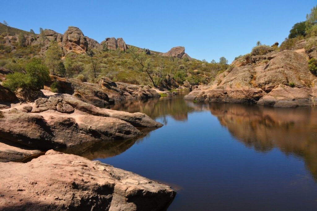
If you don’t want to do the full Moses Spring and Rim Trail Loop, you can simply head out to Bear Gulch Reservoir and back. You can choose to go through the caves on the way, and then end the trail at the reservoir. If you time your trail right it’s the perfect spot to relax and have a picnic or watch the sunset. It’s also surrounded by unique rock formations so the views are pretty incredible. The Bear Gulch Reservoir is home to the red-legged frog which is a threatened species in California. If you do come across one make sure you keep your distance as they’re protected.
North Wilderness Loop
- Distance: 9.5 miles / 15.3 km round trip
- Elevation Gain: 1220 feet (372m)
- Estimated Time: 6-8 hours
- Type of Trail: Loop
- Trailhead Location: Chaparral Picnic Area
- Map: All Trails
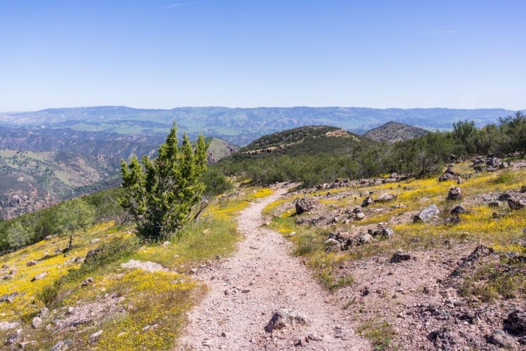
This is one of the longest hikes in the National Park, and at a length of 9.5 miles, it’s no easy feat. The trail is unmaintained and can be difficult to spot so is more suitable for experienced hikers. It’s a great route if you’re looking to go off the beaten track and explore more of the Pinnacles. The trail climbs along the ridge tops and then descends into the Chalone Creek Bed where it’s marked by rock cairns. You will then head back to the trailhead via the Old Pinnacles Trail and the Balconies Trail. The views throughout the trail are incredible, and if you’re up to it the North Wilderness Loop is an awesome trail.
North Wilderness Trail to Twin Knolls
- Distance: 1.55 miles / 2.5 km one way (3.1 miles / 5 km round trip)
- Elevation Gain: 629 feet (192m)
- Estimated Time: 2-3 hours
- Type of Trail: Out and back
- Trailhead Location: Chaparral Picnic Area
- Map: All Trails
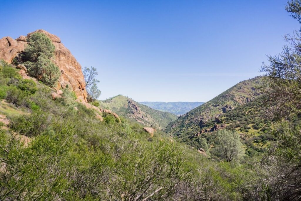
If you want to hike along the North Wilderness Trail, but don’t want to do the full loop then this is a great trail. The route to the Twin Knoll viewpoints is around 1.55 miles one way, so although not a long hike it still gives you a taste of the wilderness. The viewpoints look back at the west face of the Pinnacles and the North Chalone Peak Fire Tower. If you do this hike during springtime, the trail will also be lined with wildflowers. If you want to lengthen the trail, you can continue along the North Wilderness Trail and just head back to the trailhead whenever you’re ready.
Old Pinnacles Trail to Balconies
- Distance: 5 miles / 8.2 km round trip
- Elevation Gain: 495 feet (151m)
- Estimated Time: 3-5 hours
- Type of Trail: Loop
- Trailhead Location: Old Pinnacles Trailhead
- Map: All Trails
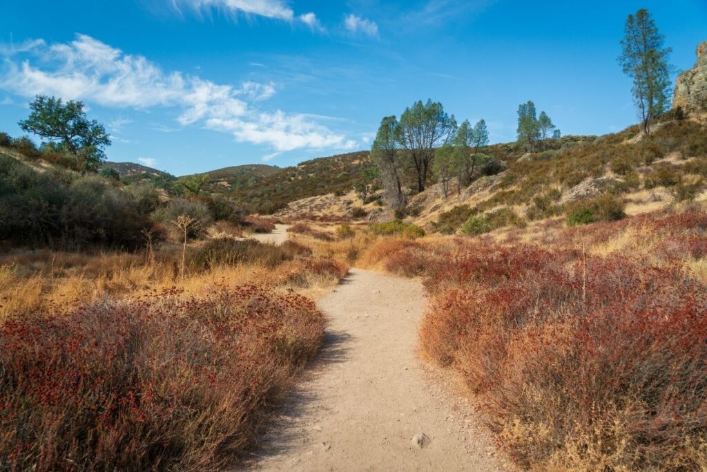
The Old Pinnacles Trail to Balconies allows you to explore caves, as well as see two huge rock formations – Machete Ridge and Balconies Cliff. The first 2 miles of the hike are relatively flat before you then start climbing into the cliffs. The views at the top of the hike are breathtaking so take some time to enjoy them before heading back down the trail. You can then choose to enter Balconies Cave if it’s open but make sure you have a flashlight with you! If the cave is closed, you can head around on the alternative trail.
Easy Pinnacles Hikes
Prewett Point Trail (Pinnacles Overlook Trail)
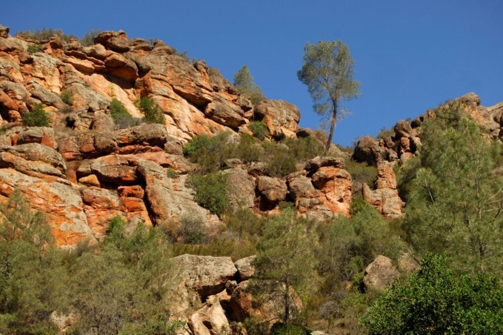
The Prewett Point Trail (or Pinnacles Overlook Trail) is only a short hike and takes you to an overlook of the Hain Wilderness. From here you will get incredible views of Balconies Cliffs, the High Peaks, and the fire tower on top of North Chalone Peak. There are plenty of benches for you to sit and take in the view, and you might even be able to spot some wildlife in the fields below. This is one of the easiest trails in Pinnacles National Park and has been packed down so that it’s accessible for most people including wheelchair users and strollers. If you don’t have much time in the national park or have low fitness levels then the Prewett Point Trail is a great option.
Frequently Asked Questions about Pinnacles Hiking?
Which is the best trail at Pinnacles National Park?
There are so many incredible hikes in Pinnacles National Park that it’s difficult to pick out the best trail.
However, some of the big hitters include:
- High Peaks & Balconies Cave Loop
- High Peaks to Condor Gulch Trail Loop
- Old Pinnacles Trail to Balconies
This is down to the incredible views and the variety of the trails.
Are the hikes within the Pinnacles difficult?
The hikes in Pinnacles National Park range in difficulty from strenuous to easy. There is a hike for everyone no matter your fitness level, which means everybody gets a chance to enjoy the rugged beauty of this park.
However, it’s important not to overestimate your fitness levels as some of the hikes here are very difficult. If you aren’t sure what you can manage start with the easier hikes first, and work your way up.
How many days do you need at Pinnacles National Park?
If possible you want to spend at least two days at Pinnacles National Park. There is a variety of hikes in the park, and two days is enough time to do hikes from both the East and West park entrances.
If you’ve only got one day to spend here then make sure you pick a hike that encompasses the best parts of the national park.
Are there bears in Pinnacles National Park?
There are no bears found in Pinnacles National Park, but you might be able to spot other mammals including black-tailer dear, bobcats, raccoons, rabbits, and bats.
Can you hike Pinnacles at night?
Pinnacles National Park is open 24 hours a day, so hiking at night is incredibly popular. As the trails are far from city lights and with the region’s dark skies, it’s the perfect place to go stargazing.
There are guided night-time hikes with park rangers that you can join on most Saturday nights if you’re not keen on hiking by yourself after the sun goes down. A similar trip is offered on full moon nights and night-time cave explorations are available to book too! These events are free but they are limited to a certain amount of people so be sure to reserve a spot at the Pinnacles Visitor Center.
If you do decide to hike on your own within Pinnacles National Park it’s important to be careful. Always take a flashlight with you and be mindful of your footing, especially on the higher elevation trails. If you decide to hike unmaintained trails make sure you’re very conscious of your footing and be wary of loose rocks and gravel.
Are there snakes at Pinnacles National Park?
Pinnacles National Park is home to a wide variety of reptiles including fourteen types of snakes. However, only one is poisonous and that’s the Pacific rattlesnake.
If you stick to the trails, avoid heavy brush and watch where you place your hands and feet in rocky terrain, you can minimize the chance of crossing paths with a rattlesnake. If you do see one give it plenty of room, and make sure it has a way to safely move away from you.
Rattlesnake bites are extremely uncommon within Pinnacles National Park. However, if you do get bitten seek medical attention from park staff immediately.
Are there ticks in Pinnacles National Park?
Ticks are found within the national park, so it’s best to wear long pants whilst hiking. Make sure you carry tweezers with you and alcoholic wipes to clean the skin with if you do come into contact with one.
Is East or West Pinnacles better?
There are two entrances to the national park – the East Gate and the West Gate. You can see geological formations and head out on hiking trails no matter which entrance you use.
The Pinnacles Visitor Center, Bear Gulch Nature Center, Park Headquarters, the Pinnacles Campground, and Bear Gulch Cave are all located on the east. The West Visitor Contact Station is on the west side of the park.
Now both have their advantages, but many people prefer entering the park from the West Gate (or West Pinnacles). This is because many of the trails start from the parking area at the West Gate.
Final Thoughts on Day Hiking in the Pinnacles
We hope this article has encouraged you to try some of the beautiful trails Pinnacles National Park has to offer, so you can experience the mesmerizing scenery for yourself. Which is your favorite hike in Pinnacles National Park? If it isn’t on this list, then leave a comment below to inspire other hikers or join us in talking about all things National Parks in our National Park Trip Planning Community.
More Information for your trip to California
- CALIFORNIA: National Parks of California
- CHANNEL ISLANDS: Visiting Channel Islands National Park: The Complete Guide
- DEATH VALLEY: Visiting Death Valley National Park: The Complete Guide
- 15 Things You Can’t Miss on Your First Visit to Death Valley National Park
- The Ultimate Guide to Camping In Death Valley
- Where to Stay in Death Valley?
- Best Glamping in Death Valley National Park
- Death Valley Airbnbs
- Death Valley Stovepipe Wells Village Review
- Death Valley Jeep Rental – Farabee’s Jeep Review
- JOSHUA TREE: Visiting Joshua Tree National Park: The Complete Guide
- KINGS CANYON: Visiting Kings Canyon National Park
- LASSEN VOLCANIC: Visiting Lassen Volcanic National Park: The Complete Guide
- LOS ANGELES: National Parks Near Los Angeles, California
- PINNACLES: Visiting Pinnacles National Park
- REDWOOD: Visiting Redwood State and National Park: The Complete Guide
- SAN FRANCISCO: National Parks Near San Francisco, California
- SEQUOIA: Visiting Sequoia National Park: The Complete Guide
- YOSEMITE: Visiting Yosemite National Park: The Complete Guide
Pin for Later: 14 ABSOLUTE Best Pinnacles Hiking Trails for 2022

Jennifer Melroy
Hi, I'm Jennifer!
Welcome to the wonderful world of National Parks. I'm here to help you plan your NEXT amazing adventure through the United States National Parks and beyond. I want the national parks to be accessible to all.
I live in Tennessee, and when I'm home, you can find me hiking in the Smokies and the Cumberland Plateau.
58/63 National Parks
250+/423 National Park Units
Want to know more? Start Here.
ACKNOWLEDGEMENT OF LAND
On this site, we promote travel to the United States and beyond that are the traditional lands of Indigenous and First Nations peoples.
With respect, I make a formal land acknowledgment, extending my appreciation and respect to these lands’ past and present people.
To learn more about the people who call these lands home, I invite you to explore Native Land.
DISCLAIMER
National Park Obsessed assumes no responsibility or liability for any errors or omissions in the content of this site (NationalParkObsessed.com). The information contained in this site is provided with no guarantees of completeness, accuracy, usefulness or timeliness. You are encouraged to conduct your own due diligence before acting on the information provided on this site and should not rely on the opinions expressed here.
There is an inherent risk in all outdoor recreation activities, the reader assumes all responsibility for their own personal safety.
DISCLOSURE
We are a participant in the Amazon Services LLC Associates Program, an affiliate program designed to provide a means for us to earn fees by linking to Amazon.com and affiliated sites.
Privacy Policy • About Us • Contact
Select stock photography provided depositphotos
Copyright ©2023 National Park Obsessed, LLC
Privacy Overview
Last Updated on 14 Sep 2022 by Jennifer Melroy
